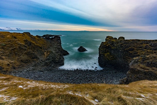
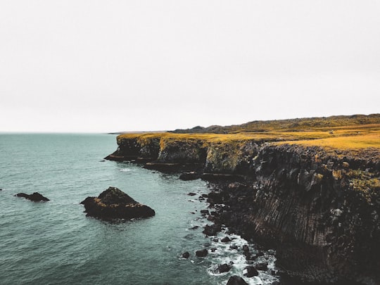
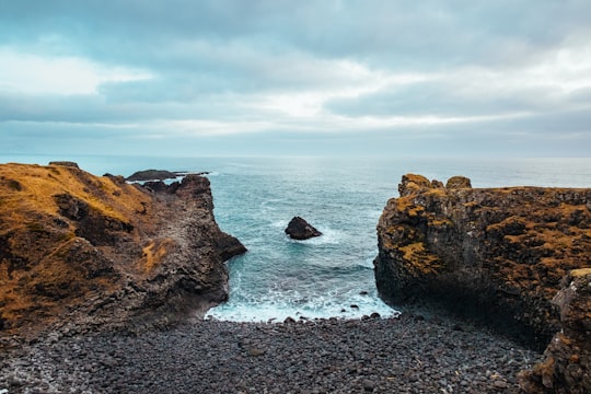
Travel Guide of Gatklettur in Iceland by Influencers and Travelers
Arnarstapi or Stapi is a small fishing village at the foot of Mt. Stapafell between Hellnar village and Breiðavík farms on the southern side of Snæfellsnes, Iceland.
Download the Travel Map of Iceland on Google Maps here
Pictures and Stories of Gatklettur from Influencers
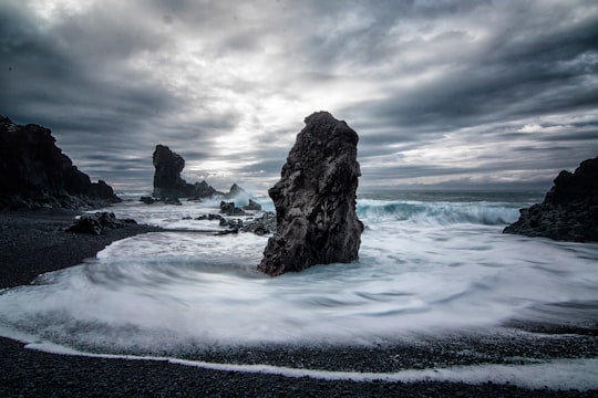
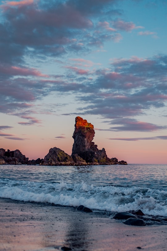
4 pictures of Gatklettur from Chris Liverani, Robert Bye, Benjamin Rascoe and other travelers
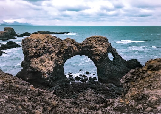
- Crazy what the ocean can do ...click to read more
- Experienced by @Josephine Lin | ©Unsplash
Plan your trip in Gatklettur with AI 🤖 🗺
Roadtrips.ai is a AI powered trip planner that you can use to generate a customized trip itinerary for any destination in Iceland in just one clickJust write your activities preferences, budget and number of days travelling and our artificial intelligence will do the rest for you
👉 Use the AI Trip Planner
The Best Things to Do and Visit around Gatklettur
Disover the best Instagram Spots around Gatklettur here
1 - Arnarstapi
Arnarstapi or Stapi is a small fishing village at the foot of Mt. Stapafell between Hellnar village and Breiðavík farms on the southern side of Snæfellsnes, Iceland.
Learn more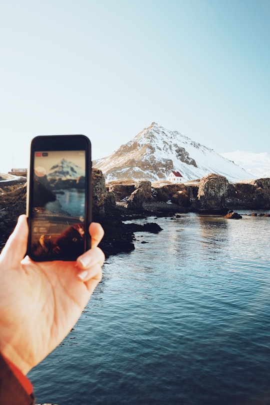
2 - Hellnar Church
Learn more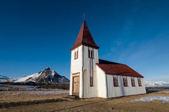
3 - Tours & Sightseeing | Snæfellsbær Geological Wonders
10 km away
Venture into the ancient depths of Vatnshellir, a lava tube steeped in Icelandic history, nestled just 500 meters from an age-old volcanic crater. Formed 8,000 years ago in the fiery heart of a volcanic eruption, this subterranean wonder stretches 200 meters long and plunges to a depth of 35 meters. Immerse yourself in a geologic journey as you traverse the lava tube, where the cool crust of a once molten river still holds the vibrant minerals of its fiery past. Let the expert guides whisk you away on a fantastical journey, weaving tales of Icelandic folklore and the mischievous trolls that once called these cavernous homes. At the tube's deepest point, surrender to the thrill of absolute darkness. With the flick of a switch, your surroundings fade into an inky abyss, offering an immersive experience not to be missed. Don't just visit Iceland, delve beneath its surface with a ticket to Vatnshellir – because the best stories are found in the places that are hardest to reach.
Learn more
4 - Hellnar
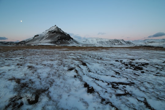
Hellnar is an ancient fishing village, a cluster of old houses and buildings situated close to Arnarstapi on the westernmost part of the Snæfellsnes peninsula, Iceland.
Learn more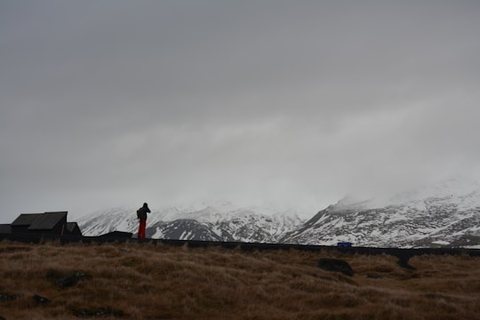
5 - Snæfellsjökull
9 km away
Snæfellsjökull is a 700,000-year-old glacier-capped stratovolcano in western Iceland. It is situated on the most western part of the Snæfellsnes peninsula in Iceland.
Learn more Book this experience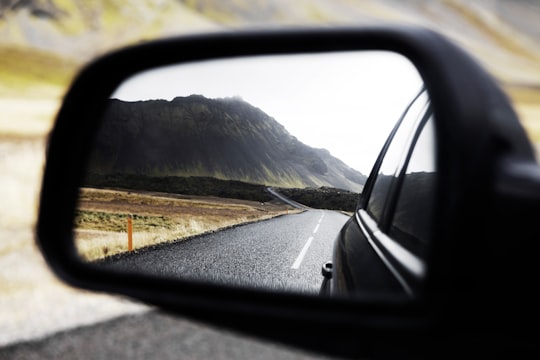

6 - Búðir
13 km away
Búðir is a small hamlet in Búðahraun lava fields in Staðarsveit, which is in the western region of Iceland, on the westernmost tip of the Snaefellsnes peninsula where Hraunhafnará falls to the sea, the original old name of Búðir having been Hraunhöfn.
Learn more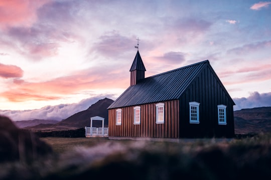
7 - Búðakirkja
13 km away
Learn more
8 - Djúpalónssandur beach
13 km away
Learn more
9 - Western Region
23 km away
Western Region is one of the traditional eight regions of Iceland, located on the western coast of the island. It is the only region for which the largest town, Akranes, is not the municipal capital.
Learn more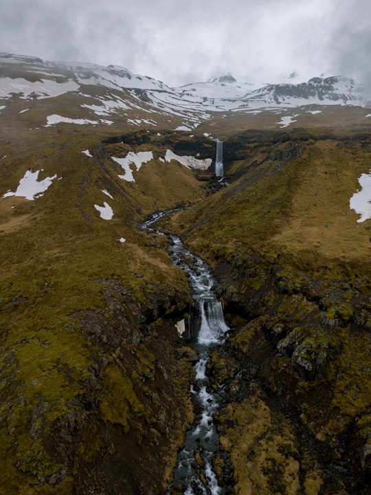
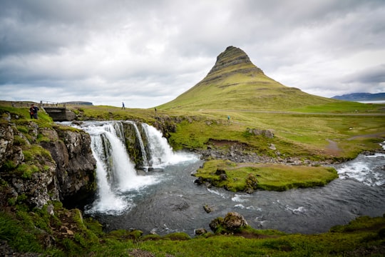
10 - Kirkjufellsfoss
23 km away
Learn more
11 - Kirkjufell
24 km away
Kirkjufell is a 463 m high mountain on the north coast of Iceland's Snæfellsnes peninsula, near the town of Grundarfjörður. It is claimed to be the most photographed mountain in the country.
Learn more Book this experience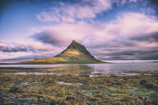
12 - Snæfellsnesvegur
24 km away
The Snæfellsnes is a peninsula situated to the west of Borgarfjörður, in western Iceland. It has been named Iceland in Miniature, because many national sights can be found in the area, including the Snæfellsjökull volcano, regarded as one of the symbols of Iceland.
Learn more Book this experience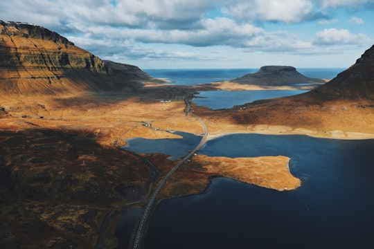
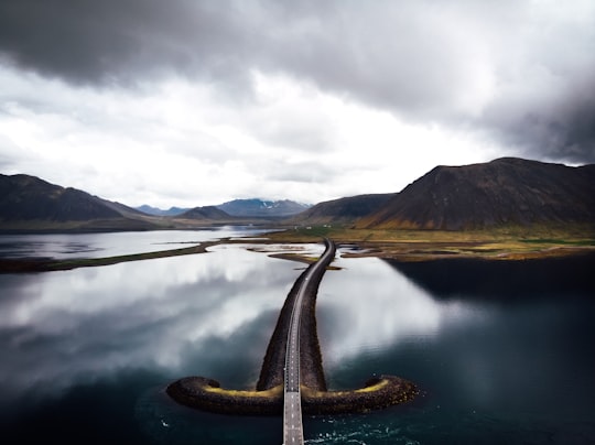
13 - Kirkjufell Mountain
24 km away
Learn more
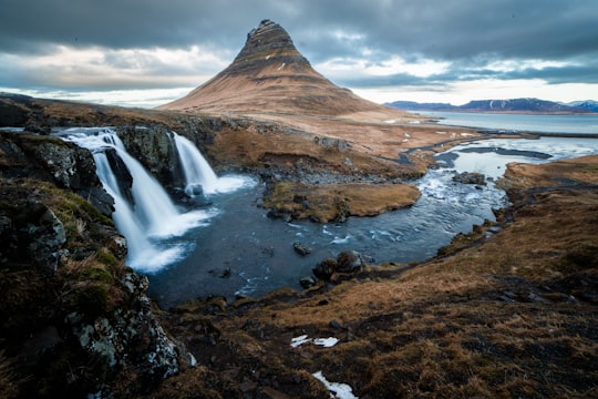
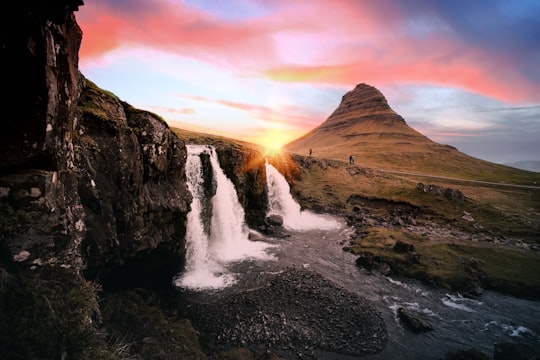
14 - Grundarfjörður
25 km away
Grundarfjörður is a small town, situated in the north of the Snæfellsnes peninsula in the west of Iceland. It is situated between a mountain range and the sea. The nearby mountain Kirkjufell forms a small peninsula.
Learn more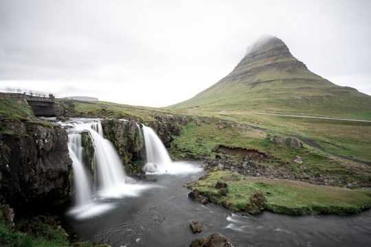
15 - Snæfellsnes
26 km away
The Snæfellsnes is a peninsula situated to the west of Borgarfjörður, in western Iceland. The Snæfellsjökull volcano, regarded as one of the symbols of Iceland, can be found in the area.
Learn more Book this experience
Book Tours and Activities in Gatklettur
Discover the best tours and activities around Gatklettur, Iceland and book your travel experience today with our booking partners
Where to Stay near Gatklettur
Discover the best hotels around Gatklettur, Iceland and book your stay today with our booking partner booking.com
More Travel spots to explore around Gatklettur
Click on the pictures to learn more about the places and to get directions
Discover more travel spots to explore around Gatklettur
⛰️ Cliff spots 🏖️ Shore spotsTravel map of Gatklettur
Explore popular touristic places around Gatklettur
Download On Google Maps 🗺️📲
