Travel Guide of Munsyari in India by Influencers and Travelers
Munsiyari is the name of the sub-division headquarters, a conglomeration of revenue villages and it also refers to the entire region as Munsiyari Tehsil and Sub Division in the Pithoragarh District in the hill-state of Uttarakhand, India.
The Best Things to Do and Visit in Munsyari
TRAVELERS TOP 2 :
1 - Panchchuli
24 km away
The Panchachuli peaks are a group of five snow-capped Himalayan peaks lying at the end of the eastern Kumaon region, near the Dugtu village in Darma valley. The peaks have altitudes ranging from 6,334 metres to 6,904 metres. They form the watershed between the Gori and the Darmaganga valleys. Panchachuli is also located on the Gori Ganga-Lassar Yankti divide. The group lies 138 km from Pithoragarh.
View on Google Maps Book this experience
2 - Berinag
37 km away
Berinag is a hill station, located 124 km from Pithoragarh city in the Pithoragarh district, which is the easternmost Himalayan district in the state of Uttarakhand, India. It is one of the six Administrative Subdivisions of Pithoragarh district. National Highway 309A passes through Berinag.
Learn more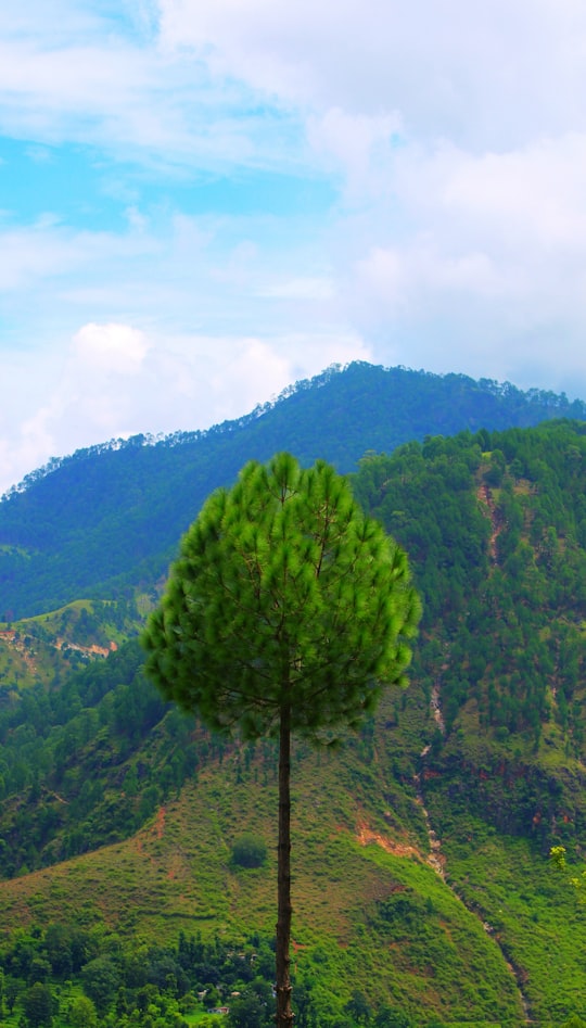
Disover the best Instagram Spots around Munsyari here
Book Tours and Activities in Munsyari
Discover the best tours and activities around Munsyari, India and book your travel experience today with our booking partners
Pictures and Stories of Munsyari from Influencers
3 pictures of Munsyari from Vikalp, Balaji Srinivasan, and other travelers
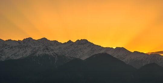
- Sunrise landscape with the Himalayan mountains of Panchachuli ...click to read more
- Experienced by @Balaji Srinivasan | ©Unsplash
Plan your trip in Munsyari with AI 🤖 🗺
Roadtrips.ai is a AI powered trip planner that you can use to generate a customized trip itinerary for any destination in India in just one clickJust write your activities preferences, budget and number of days travelling and our artificial intelligence will do the rest for you
👉 Use the AI Trip Planner
Why should you visit Munsyari ?
Travel to Munsyari if you like:
⛰️ Summit ⛰️ Mountain rangeWhere to Stay in Munsyari
Discover the best hotels around Munsyari, India and book your stay today with our booking partner booking.com
More Travel spots to explore around Munsyari
Click on the pictures to learn more about the places and to get directions
Discover more travel spots to explore around Munsyari
⛰️ Mountain range spots ⛰️ Mountain spots ⛰️ Summit spotsTravel map of Munsyari
Explore popular touristic places around Munsyari