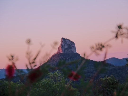
Travel Guide of Glass House Mountains in Australia by Influencers and Travelers
Glass House Mountains is a hinterland town and locality of the Sunshine Coast Region, Queensland, Australia, named after the famous Glass House Mountains of the area. Colloquially it is often known simply as "Glasshouse". At the 2016 census, Glass House Mountains had a population of 5,065.
Download the Travel Map of Australia on Google Maps here
The Best Things to Do and Visit in Glass House Mountains
TRAVELERS TOP 10 :
- Glass House Mountains QLD
- Glass House Mountains National Park
- Australia Zoo
- Mount Beerwah
- Glass House Mountains Lookout
- Mount Ngungun
- Golden Beach
- Caloundra QLD
- Blackall Range
- Flaxton
1 - Glass House Mountains QLD
Glass House Mountains is a hinterland town and locality of the Sunshine Coast Region, Queensland, Australia, named after the famous Glass House Mountains of the area. Colloquially it is often known simply as "Glasshouse". At the 2016 census, Glass House Mountains had a population of 5,065.
Learn more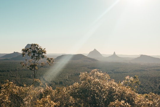
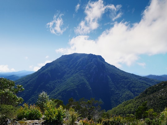
2 - Glass House Mountains National Park
6 km away
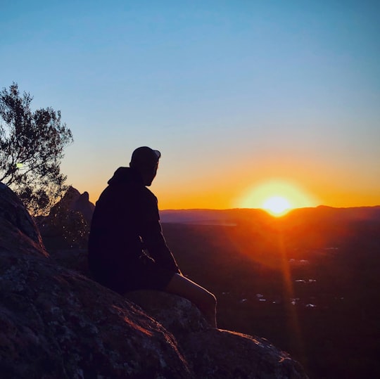
Glass House Mountains National Park is a heritage-listed national park at Glass House Mountains, Sunshine Coast Region, Queensland, Australia. It is also known as Beerburrum Forest Reserve 1.
Learn more Book this experience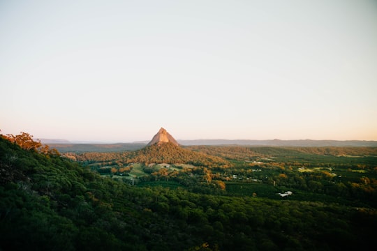
3 - Australia Zoo
7 km away
Australia Zoo is a 1,000-acre zoo located in the Australian state of Queensland on the Sunshine Coast near Beerwah/Glass House Mountains.
Learn more Book this experience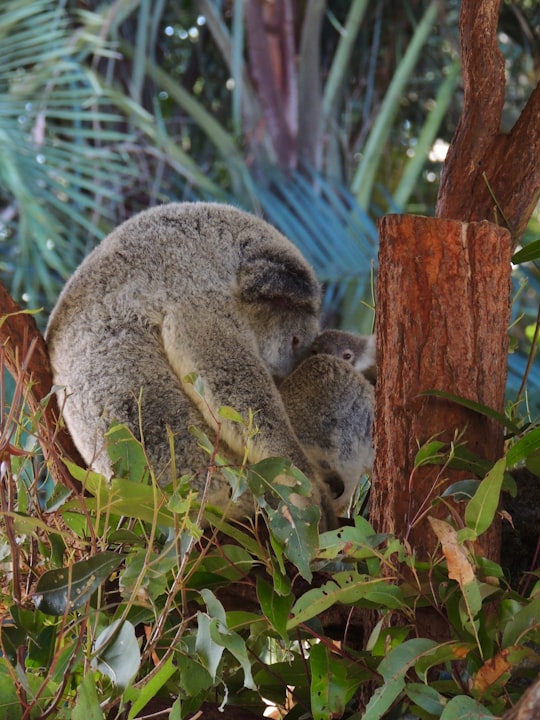

4 - Mount Beerwah
7 km away
Mount Beerwah is the highest of the ten volcanic plugs in the Glass House Mountains range, 22 km north of Caboolture in South East Queensland, Australia. It was formed 26 million years ago during the Oligocene Epoch of the Paleogene Period. Geologists estimate it may have been three times the height before it was eroded to a volcanic plug. Mount Beerwah has two peaks, the taller of which is 556 metres high. It is one of the most visually prominent mountains in south-east Queensland. The first European settlers to ascend the peak were Andrew Petrie with his son John Petrie. Its name comes from the Dungidau language words "birra, or "sky," and "wandum," "climbing up."
Learn more Book this experience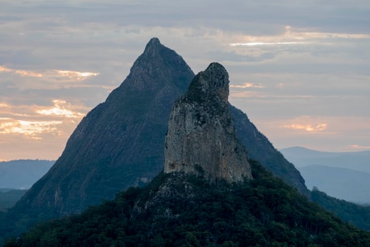

5 - Glass House Mountains Lookout
7 km away
D'Aguilar is a national park in Queensland, Australia. It contains the D'Aguilar Range and is located along the northwest of the Brisbane metropolitan area. The park is traversed by the winding scenic Mount Nebo Road and Mount Glorious Road.
Learn more Book this experience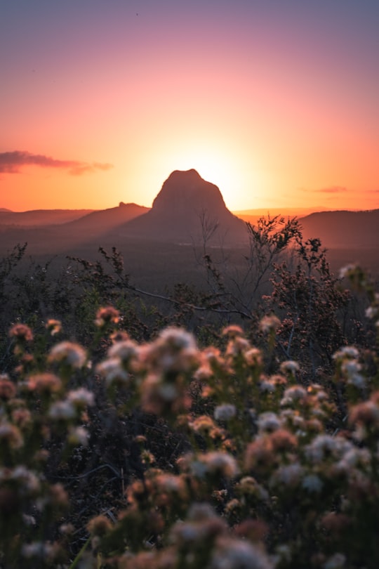
6 - Mount Ngungun
Mount Ngun Ngun is the sixth tallest of the Glass House Mountains at 253 m. It has a well maintained walking trail to the summit that affords good views. The trail from carpark is not as steep as the higher mountains and is open to beginners. The south face contains steeper, unmarked but well known rock climbing routes.
Learn more Book this experience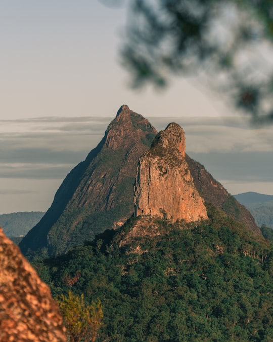

7 - Golden Beach
19 km away
Golden Beach is a coastal suburb of Caloundra in the Sunshine Coast Region, Queensland, Australia. It is located within the Caloundra urban centre directly southwest of the Caloundra CBD. In the 2016 census, Golden Beach had a population of 5,575 people.
View on Google Maps Book this experience
8 - Caloundra QLD
21 km away
Caloundra is a coastal town and the southernmost town in the Sunshine Coast Region in South East Queensland, Australia.
Learn more
9 - Blackall Range
23 km away
The Blackall Range is a mountain range in South East Queensland, Australia. The first European explorer in the area was Ludwig Leichhardt. It was named after Samuel Blackall, the second Governor of Queensland. The Blackall Range dominates the hinterland area of the Sunshine Coast, west of Nambour. Maleny, Mapleton, Montville and Flaxton are the main settlements located on the range. The Stanley River rises from the southern slopes. Baroon Pocket Dam is a reservoir on Obi Obi Creek which drains the north west slopes of the range. Mary Cairncross Reserve marks the site of the first settler's house on the Blackall Range. Curramore Sanctuary, Mapleton Falls National Park and Kondalilla National Park are also located on the range. A number of lookouts on the range provide views towards the coast. One of these is located at Howells Knob, a mountain which rises 561 m above sea level. Timber resources in the area attracted timber-cutters in 1860s. The last logging on the range occurred in 1939.
View on Google Maps Book this experience
10 - Flaxton
28 km away
Flaxton is a rural locality in the Sunshine Coast Region, Queensland, Australia. In the 2016 census, Flaxton had a population of 931 people.
Learn more
11 - Sunshine Coast
30 km away
Sunshine Coast is a peri-urban area and the third most populated area in the Australian state of Queensland. Located 100 km north of the centre of Brisbane in South East Queensland, on the Coral Sea coastline, its urban area spans approximately 60 km of coastline and hinterland from Pelican Waters to Tewantin.
Learn more
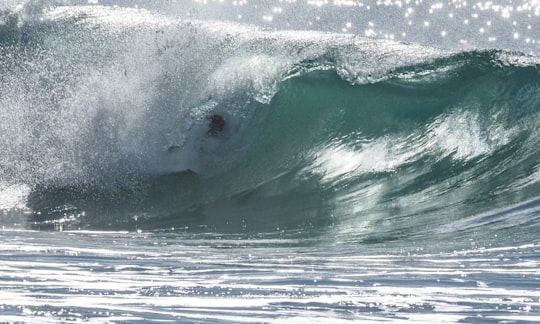
12 - Sunshine Coast QLD
30 km away
Sunshine Coast Stadium is a multi-sport venue located at Kawana Waters on the Sunshine Coast, Queensland, Australia. The stadium is the main venue in a sporting precinct that also includes seven fields.
Learn more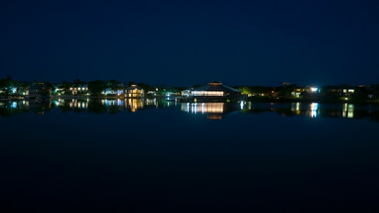
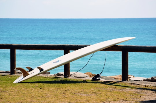
13 - Mooloolaba
30 km away
Mooloolaba is a coastal suburb of Maroochydore in the Sunshine Coast Region, Queensland, Australia. It is located 97 kilometres north of the state capital, Brisbane, and is part of the Maroochydore urban centre.
Learn more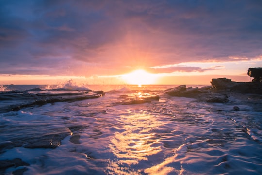
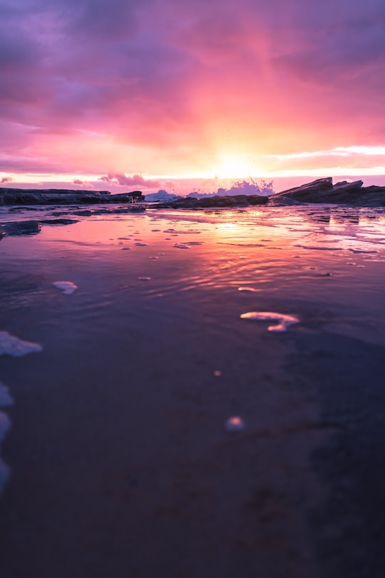
14 - Mooloolaba Beach
30 km away
Learn more
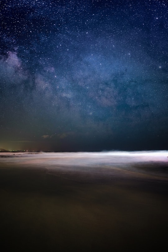
15 - Mudjimba Beach
34 km away
Learn more

16 - Coolum Beach QLD
43 km away
Coolum Beach is a beachside town and coastal suburb of the Sunshine Coast Region, Queensland, Australia and is also the name of the beach around which the town is based. In the 2016 census, Coolum Beach had a population of 8,497 people.
Learn more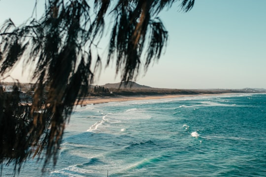
Disover the best Instagram Spots around Glass House Mountains here
Book Tours and Activities in Glass House Mountains
Discover the best tours and activities around Glass House Mountains, Australia and book your travel experience today with our booking partners
Pictures and Stories of Glass House Mountains from Influencers
2 pictures of Glass House Mountains from Josh Withers, Jade Stephens, and other travelers
Plan your trip in Glass House Mountains with AI 🤖 🗺
Roadtrips.ai is a AI powered trip planner that you can use to generate a customized trip itinerary for any destination in Australia in just one clickJust write your activities preferences, budget and number of days travelling and our artificial intelligence will do the rest for you
👉 Use the AI Trip Planner
Why should you visit Glass House Mountains ?
Travel to Glass House Mountains if you like:
⛰️ Hill stationWhere to Stay in Glass House Mountains
Discover the best hotels around Glass House Mountains, Australia and book your stay today with our booking partner booking.com
More Travel spots to explore around Glass House Mountains
Click on the pictures to learn more about the places and to get directions
Discover more travel spots to explore around Glass House Mountains
⛰️ Hill spots ⛰️ Hill station spots ⛰️ Mountain spots ⛰️ Mountain range spots ⛰️ Cliff spots 🌲 Plain spots 🏰 Historic site spots 🗼 Landmark spotsTravel map of Glass House Mountains
Explore popular touristic places around Glass House Mountains
Download On Google Maps 🗺️📲
