Travel Guide of Érezée in Belgium by Influencers and Travelers
Érezée is a Walloon municipality of Belgium located in the province of Luxembourg. On 1 January 2007 the municipality, which covers 78.44 km², had 2,968 inhabitants, implying a population density of 37.8 inhabitants per km².
The Best Things to Do and Visit in Érezée
TRAVELERS TOP 10 :
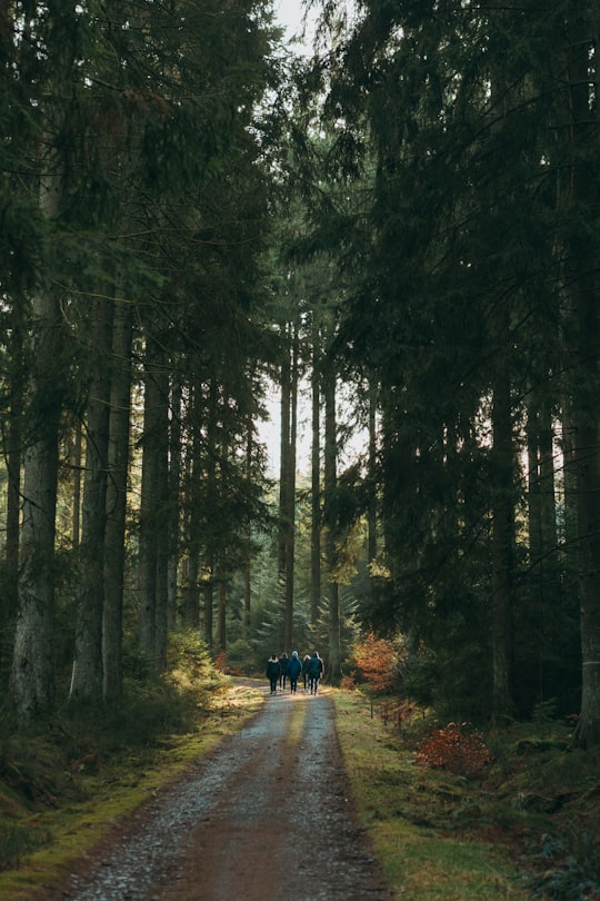
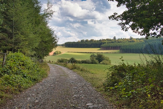
1 - Ardennes
9 km away
The Ardennes, also known as the Ardennes Forest or Forest of Ardennes, is a region of extensive forests, rough terrain, rolling hills and ridges.
Learn more Book this experience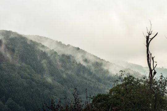

2 - Caves of Hotton
8 km away
The Caves of Hotton are speleothem caves near Hotton in Belgium, which were discovered in 1958 and are around 5 or 6 km long and 70 metres deep. A stream called Syphon runs at the bottom of the caves.
View on Google Maps Book this experience
3 - Durbuy
12 km away
Durbuy is a city and municipality of Wallonia located in the province of Luxembourg, Belgium. The total area is 156.61 km², consisting of the following districts: Barvaux, Bende, Bomal, Borlon, Durbuy, Grandhan, Heyd, Izier, Septon, Tohogne, Villers-Sainte-Gertrude, and Wéris.
Learn more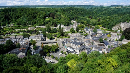
4 - Baraque de Fraiture
13 km away
The Baraque de Fraiture is the highest point in the Province of Luxembourg, Belgium. Situated in the Municipality of Vielsalm, it is 652 metres high. It has a ski area comprising 3 pistes, which open for less than 20 days a year. However, it has been open for up to 60 days per year recently.
View on Google Maps Book this experience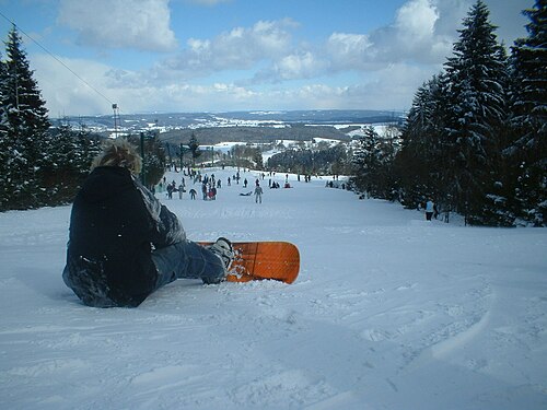
5 - Quarreux
16 km away
The Ninglinspo is a stream in Belgium, tributary of the Amblève upstream from Remouchamps around Quarreux. The valley of Ninglinspo is classed as an outstanding heritage area of Wallonia. It runs between Vert-Buisson and Nonceveux.
Learn more Book this experience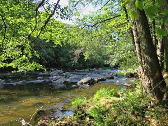
6 - Vielsalm
21 km away
Vielsalm is a municipality of Wallonia located in the province of Luxembourg, Belgium. The town is part of the Arrondissement of Bastogne. It is the place of origin of the House of Salm. On 1 January 2018 the municipality had 7,821 inhabitants. The total area is 139.76 km², giving a population density of 56 inhabitants per km².
Learn more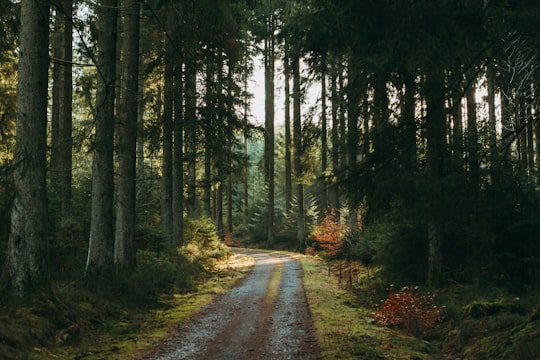
7 - Liège
35 km away
Liège is a major Walloon city and municipality and the capital of the Belgian province of Liège. The city is situated in the valley of the Meuse, in the east of Belgium, not far from borders with the Netherlands and with Germany.
Learn more
8 - Bastogne
36 km away
Bastogne is a city and municipality of Wallonia located in the province of Luxembourg in the Ardennes, Belgium. The municipality consists of the following districts: Bastogne, Longvilly, Noville, Villers-la-Bonne-Eau, and Wardin.
Learn more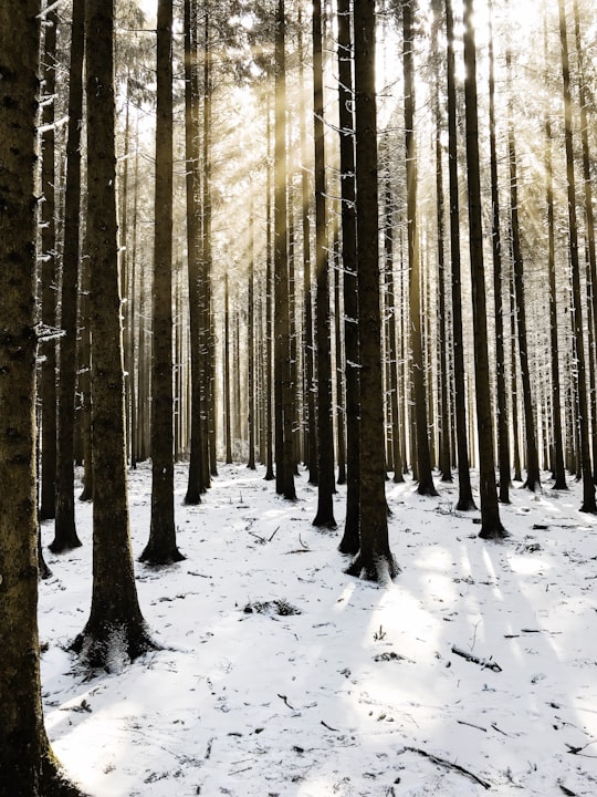
9 - High Fens
38 km away
The High Fens, which were declared a nature reserve in 1957, are an upland area, a plateau region in the province of Liège, in the east of Belgium and adjoining parts of Germany, between the Ardennes and the Eifel highlands.
Learn more Book this experience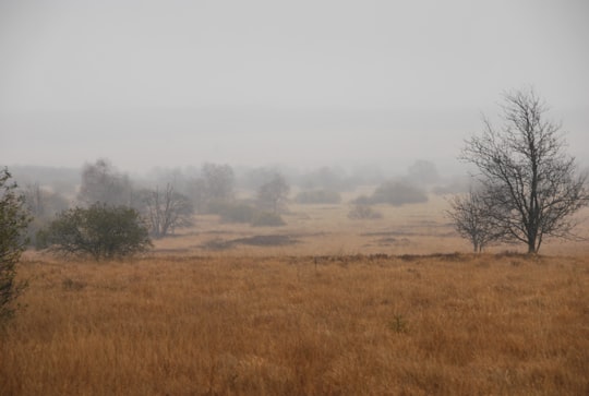
10 - Han-sur-Lesse
38 km away
Han-sur-Lesse is a Walloon village in the municipality of Rochefort, Namur Province in southeastern Belgium. It is famous for the exceptional caves carved under a nearby hill by the river Lesse, which tourists reach via a preserved remnant of the country's vicinal tramway system.
Learn more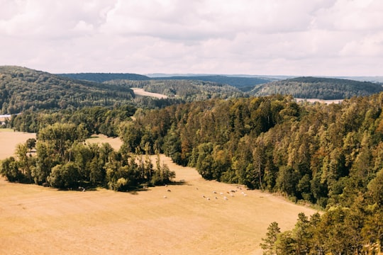
11 - Dam Gileppe
39 km away
The Gileppe is a river in Belgium with a length of about 20 kilometres. It is a left tributary of the Vesdre. Its source is in the High Fens of eastern Belgium.
Learn more Book this experience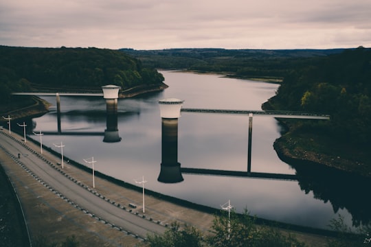
12 - Redu
48 km away
Redu is a village in the municipality of Libin, in Luxembourg province, Belgium. The village is twinned with Hay-on-Wye in the United Kingdom and it is one of the first book towns.
Learn more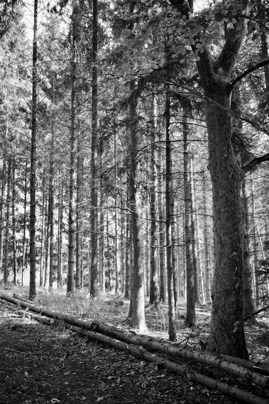
Disover the best Instagram Spots around Érezée here
Book Tours and Activities in Érezée
Discover the best tours and activities around Érezée, Belgium and book your travel experience today with our booking partners
Plan your trip in Érezée with AI 🤖 🗺
Roadtrips.ai is a AI powered trip planner that you can use to generate a customized trip itinerary for any destination in Belgium in just one clickJust write your activities preferences, budget and number of days travelling and our artificial intelligence will do the rest for you
👉 Use the AI Trip Planner
Where to Stay in Érezée
Discover the best hotels around Érezée, Belgium and book your stay today with our booking partner booking.com
More Travel spots to explore around Érezée
Click on the pictures to learn more about the places and to get directions
Discover more travel spots to explore around Érezée
⛰️ Hill station spotsTravel map of Érezée
Explore popular touristic places around Érezée