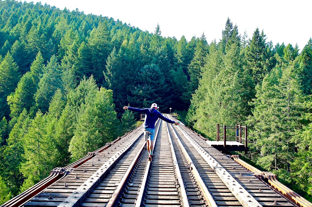
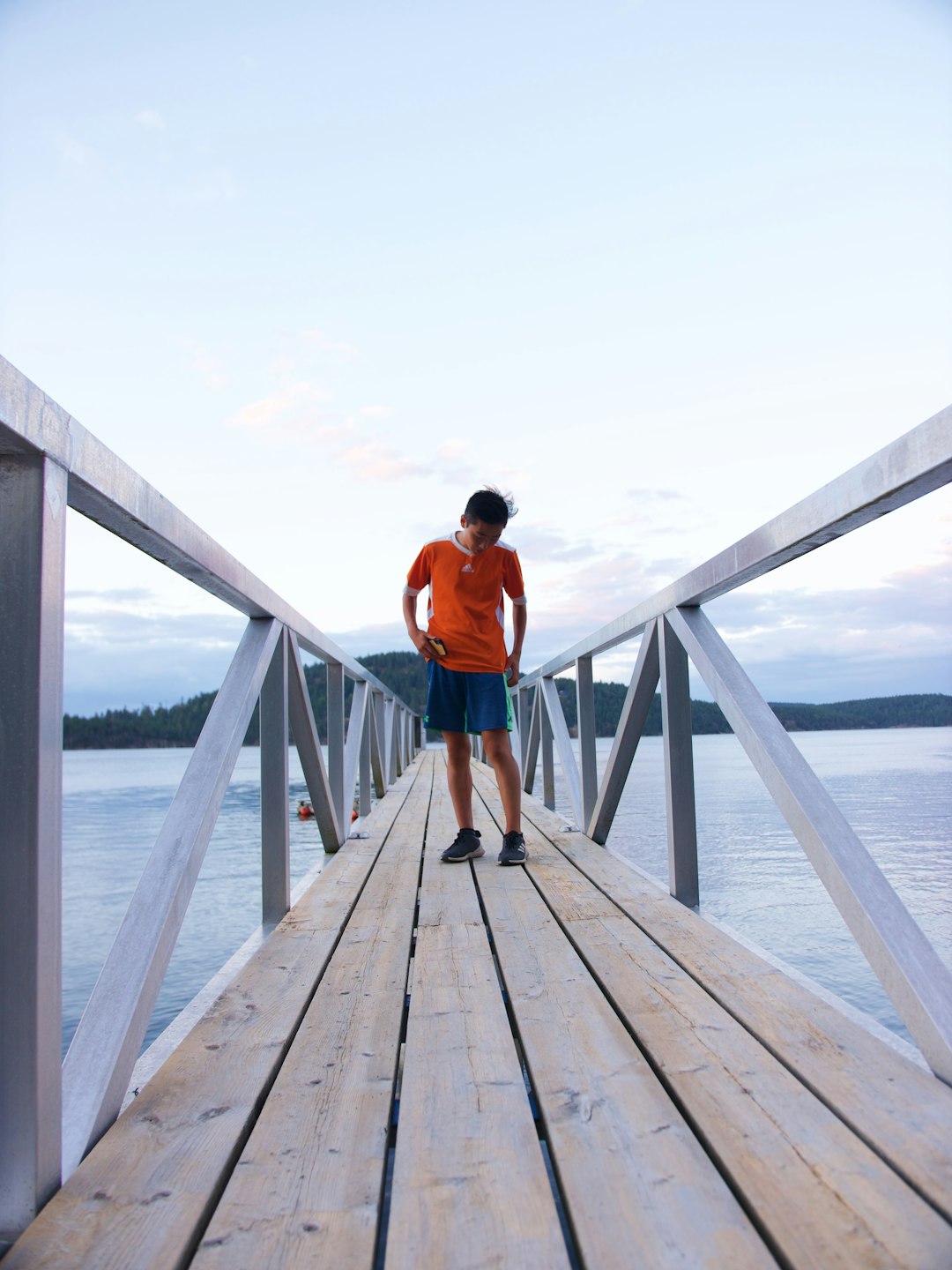
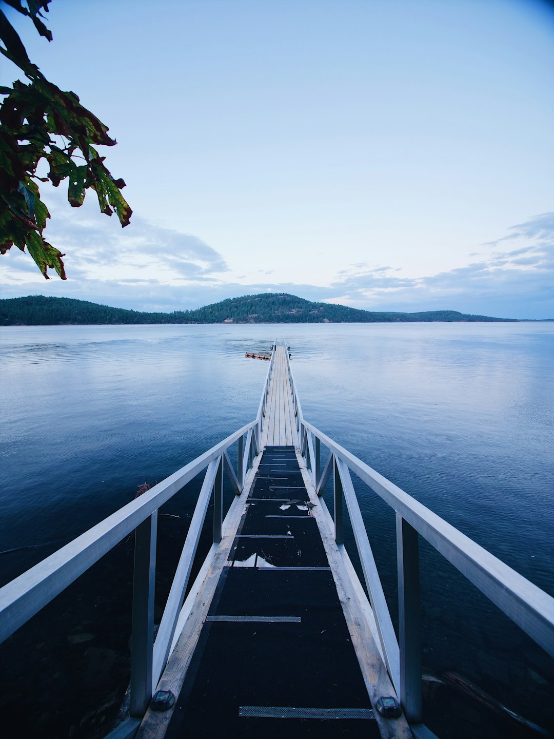
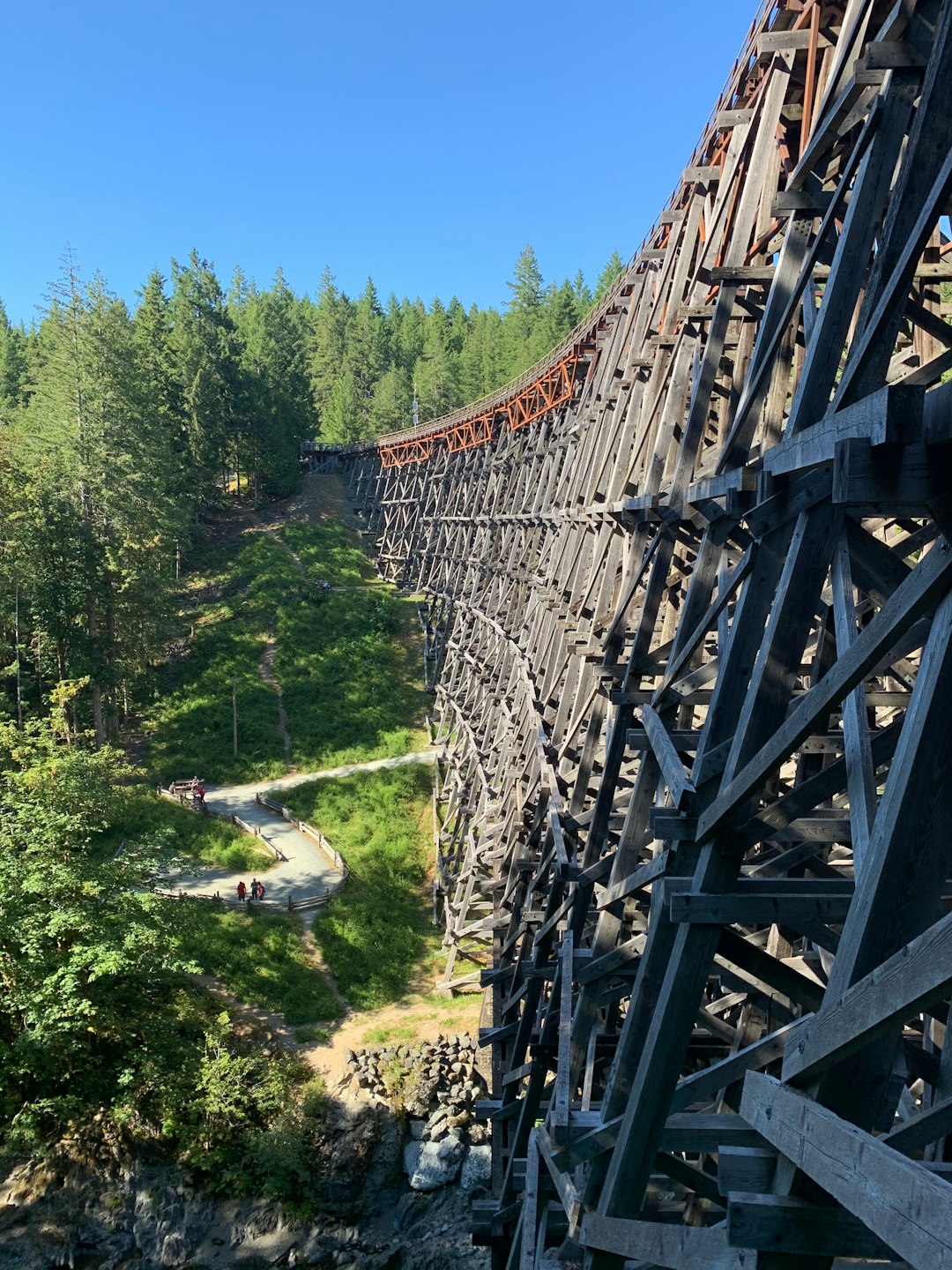
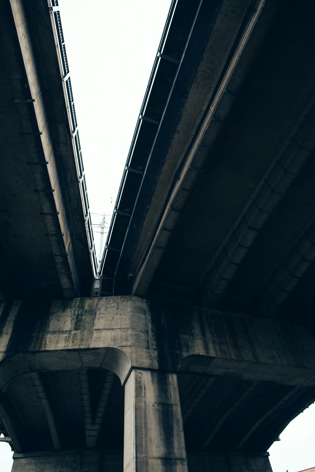
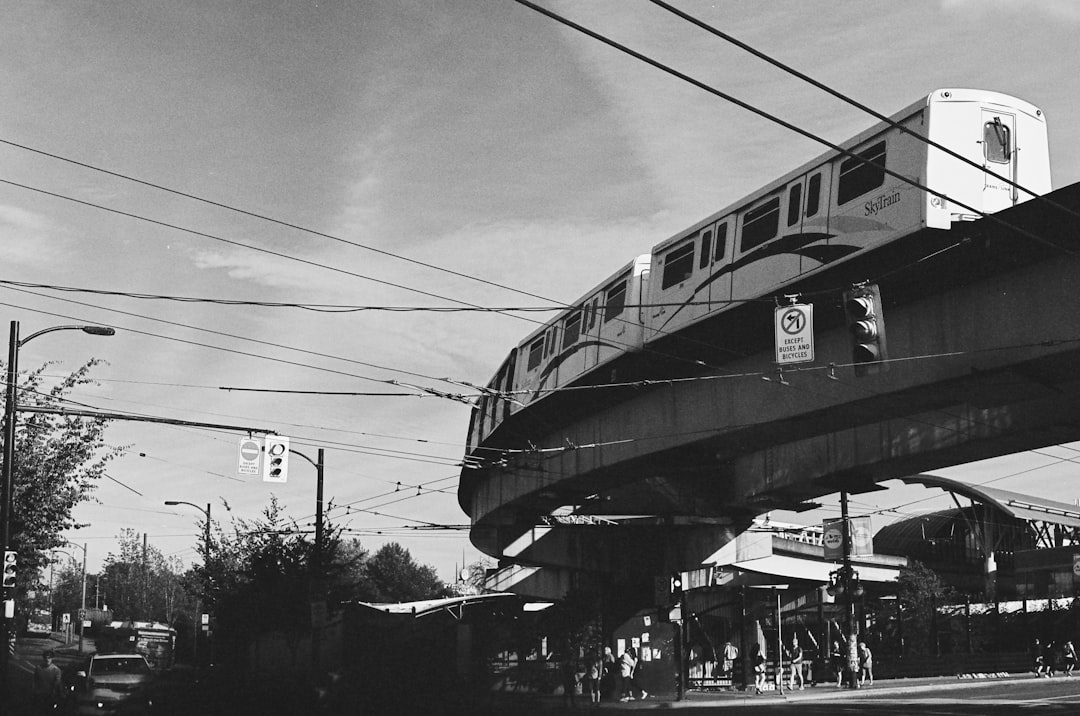
The Best Bridge Photo Spots around Victoria in Canada
Explore Bridge pictures of Victoria with the travel spots on a map
Download the Travel Map of Canada on Google Maps here
13 Bridge Spots of Victoria on a Map
Pictures of Bridge on the interacive map of Victoria
Download On Google Maps 🗺️📲Bridge Spots and Pictures around Victoria
Discover popular destinations in Victoria with their travel guides
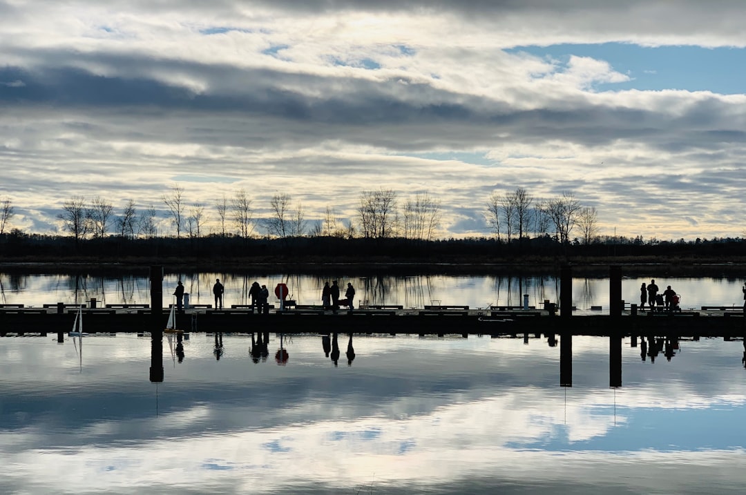
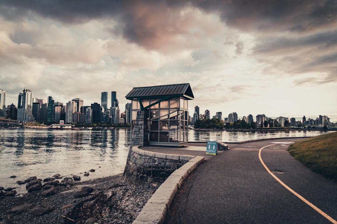
Victoria
Read the Travel guide View on Google Maps
Pender Island
40 km away from Victoria
Read the Travel guide View on Google Maps
Cowichan Lake
68 km away from Victoria
Read the Travel guide View on Google Maps
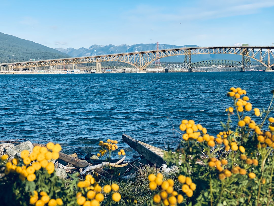
4300 Bayview St
79 km away from Victoria
Read the Travel guide View on Google Maps
East Vancouver
94 km away from Victoria
Read the Travel guide View on Google Maps
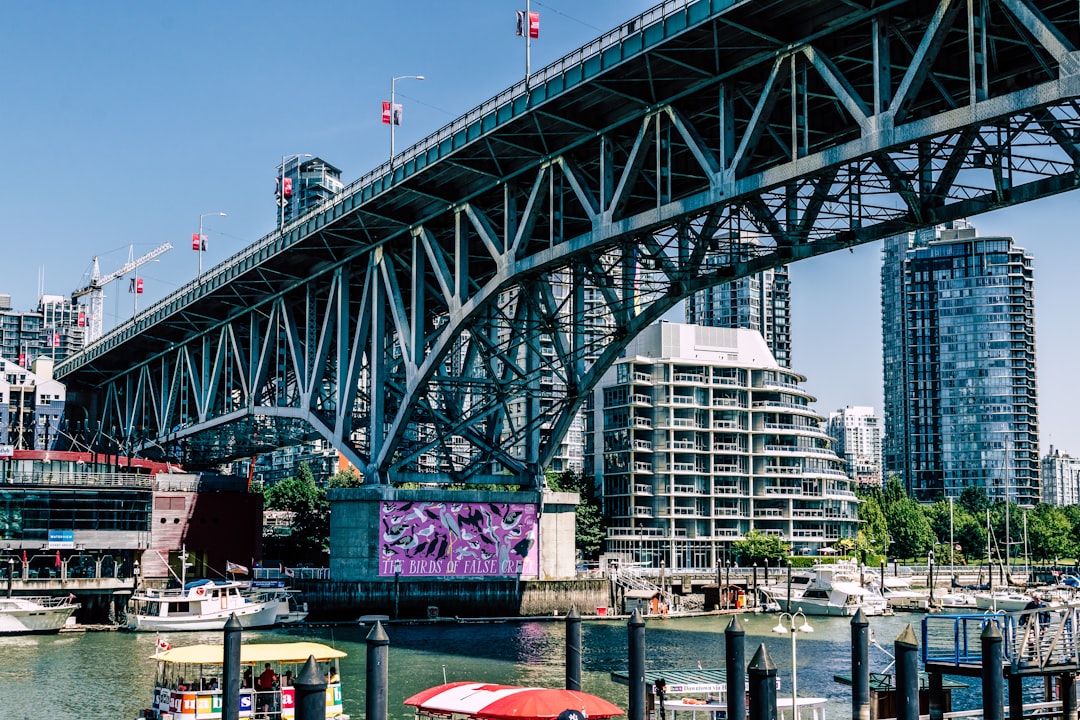
Granville Island
95 km away from Victoria
Read the Travel guide View on Google Maps
Granville Street
95 km away from Victoria
Read the Travel guide View on Google Maps
Tynehead Regional Park
95 km away from Victoria
Read the Travel guide View on Google Maps
Commercial Drive
96 km away from Victoria
Read the Travel guide View on Google Maps
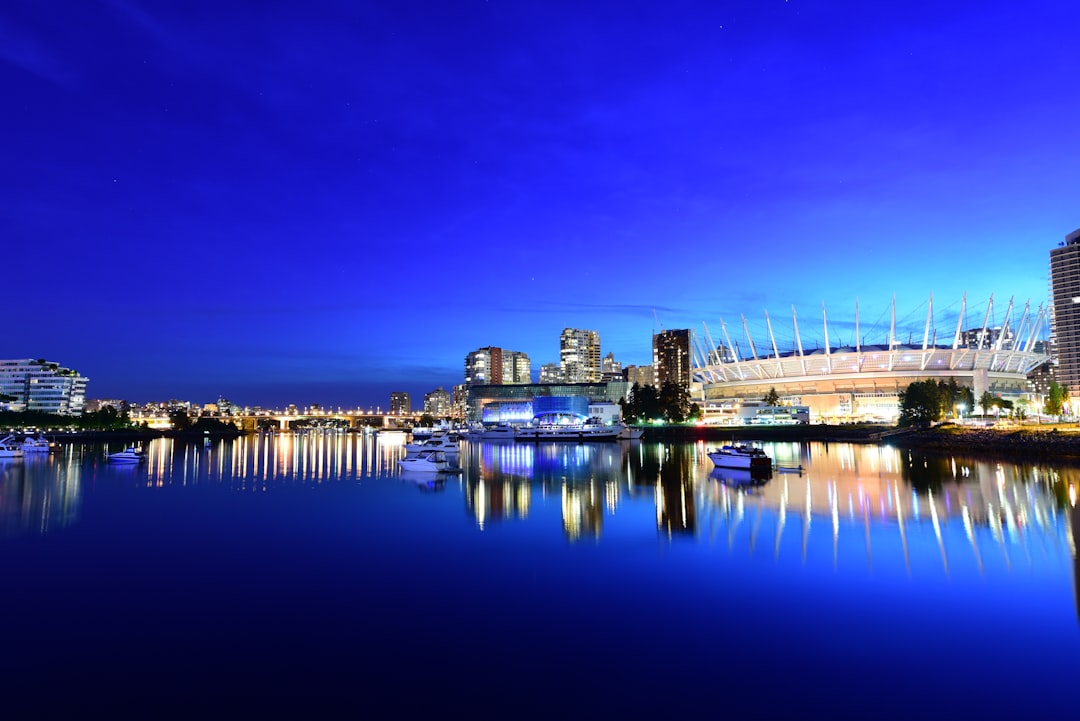
Vancouver
97 km away from Victoria
Read the Travel guide View on Google Maps
Promenade De Coal Harbour
98 km away from Victoria
Read the Travel guide View on Google Maps

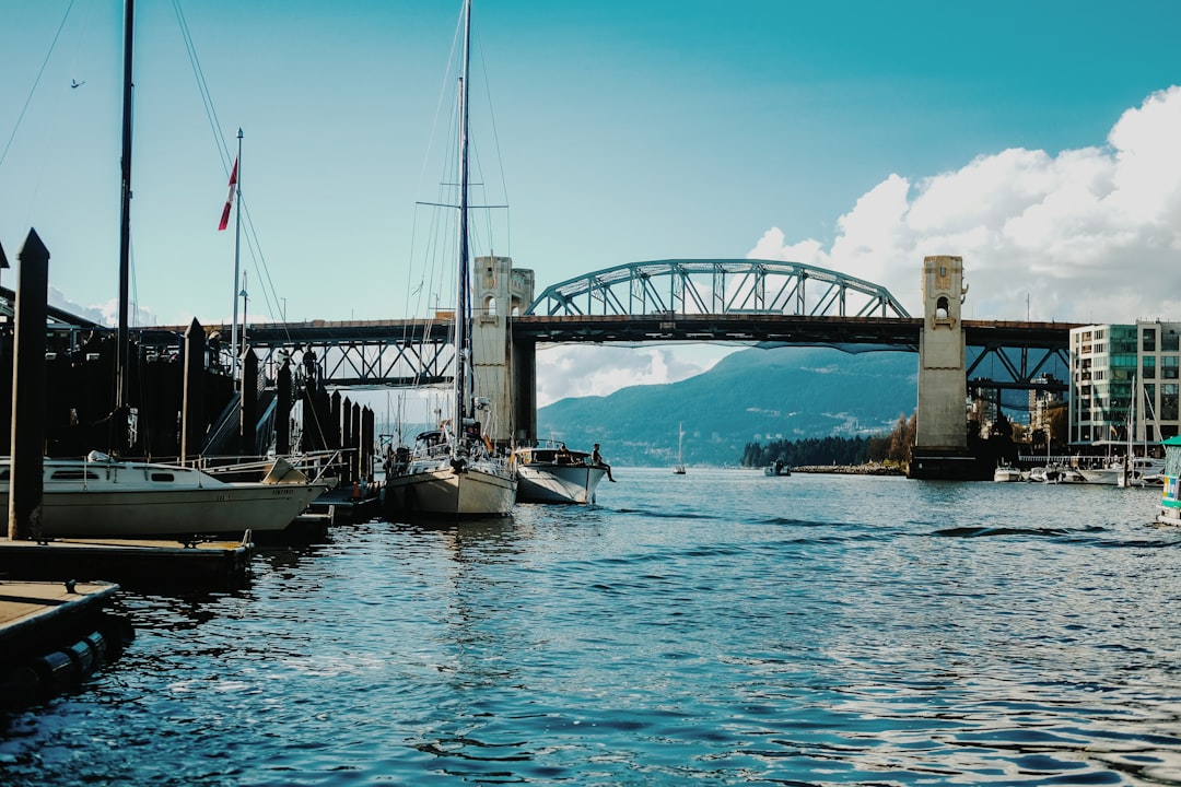
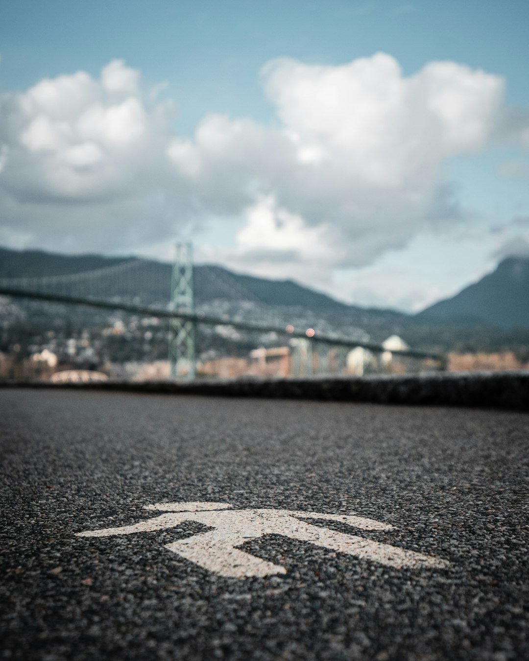
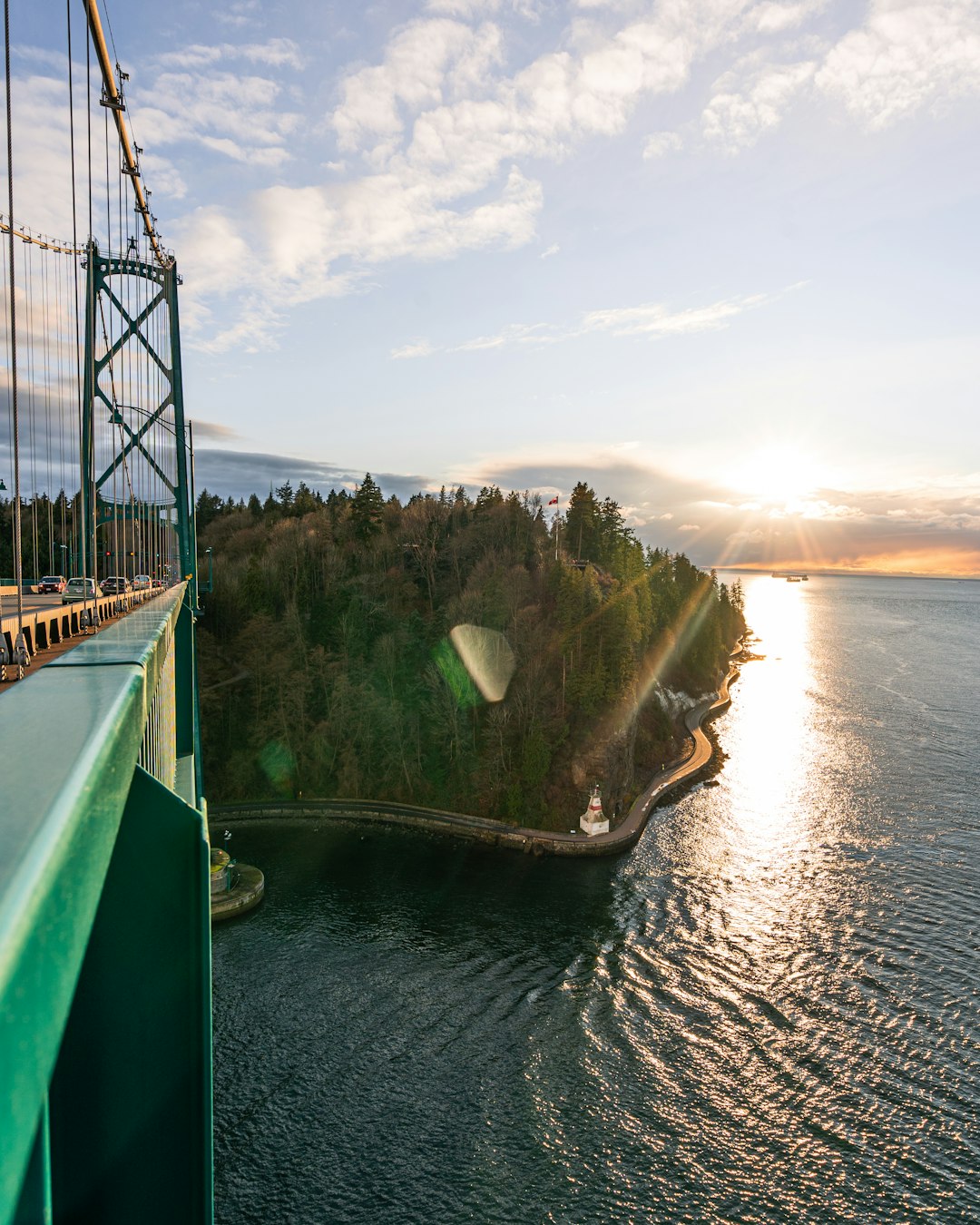
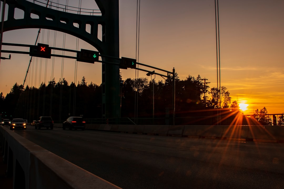
Lions Gate Bridge Road
99 km away from Victoria
Read the Travel guide View on Google Maps
Nine O'Clock Gun
99 km away from Victoria
Read the Travel guide View on Google Maps
Book your Travel Experience in Victoria
Discover the best tours and activities in Victoria and book your travel experience today with our booking partners
Learn More about Victoria
Find Hotels in Victoria
Discover the best hotels around Victoria, Canada and book your stay today with our booking partner booking.com