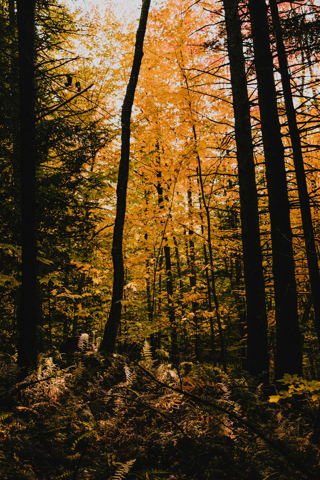
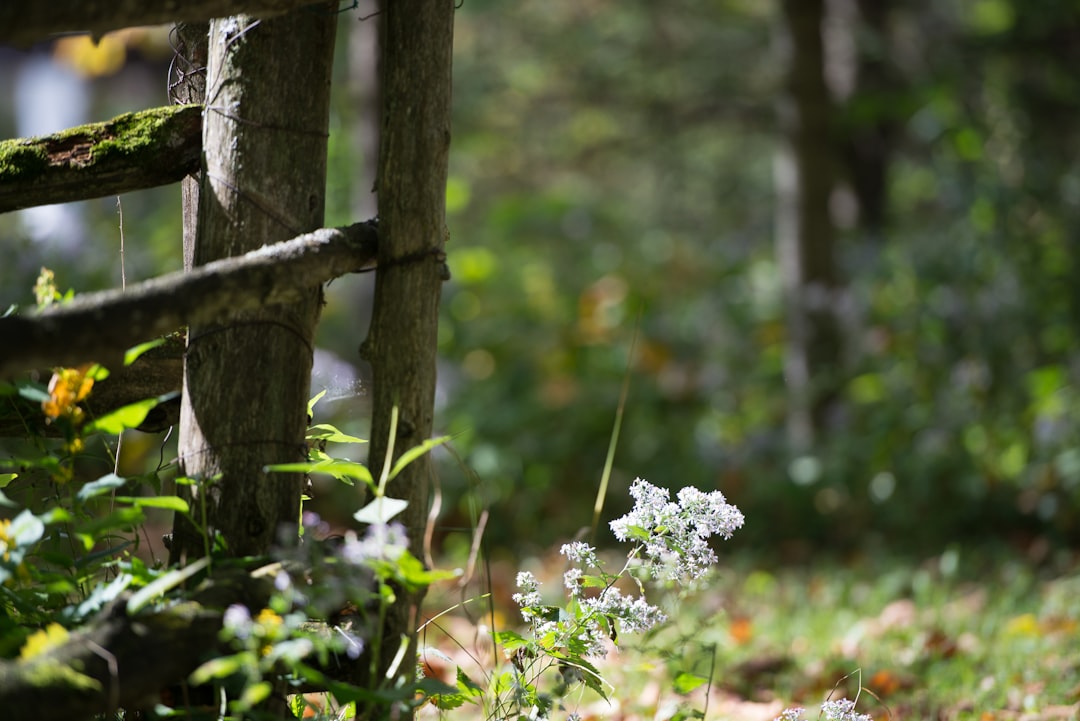
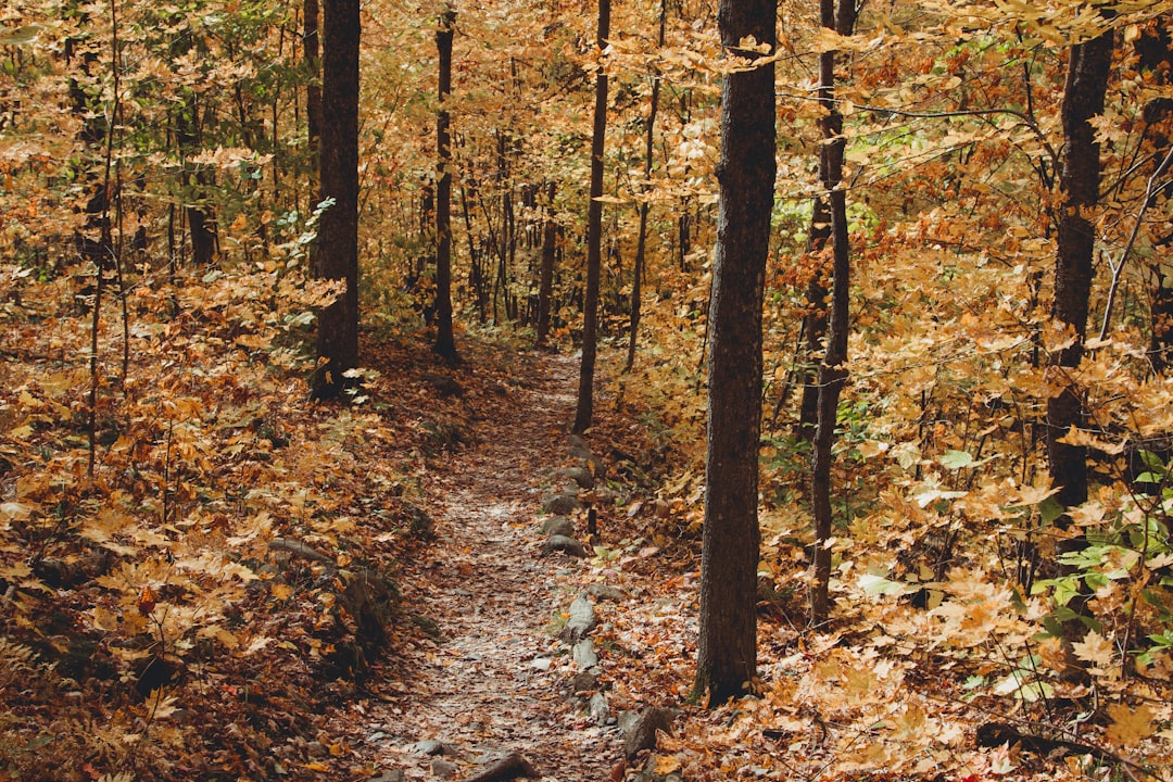
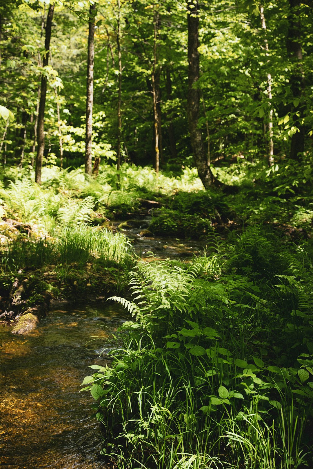
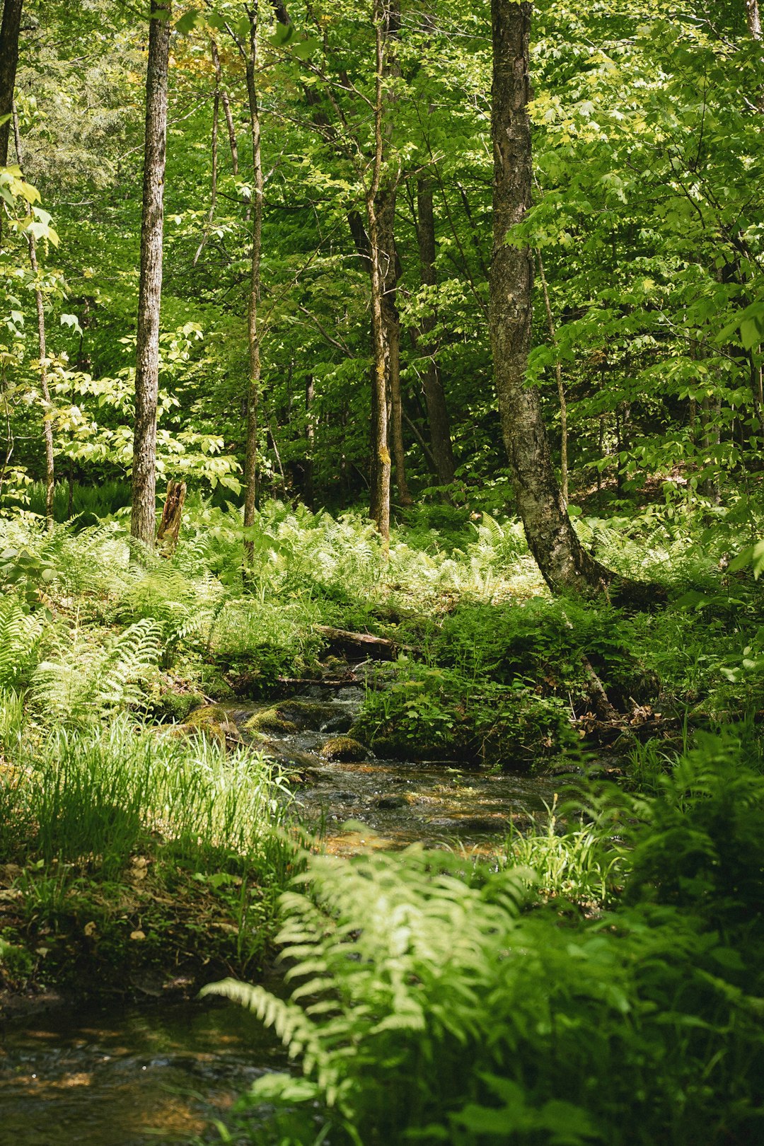
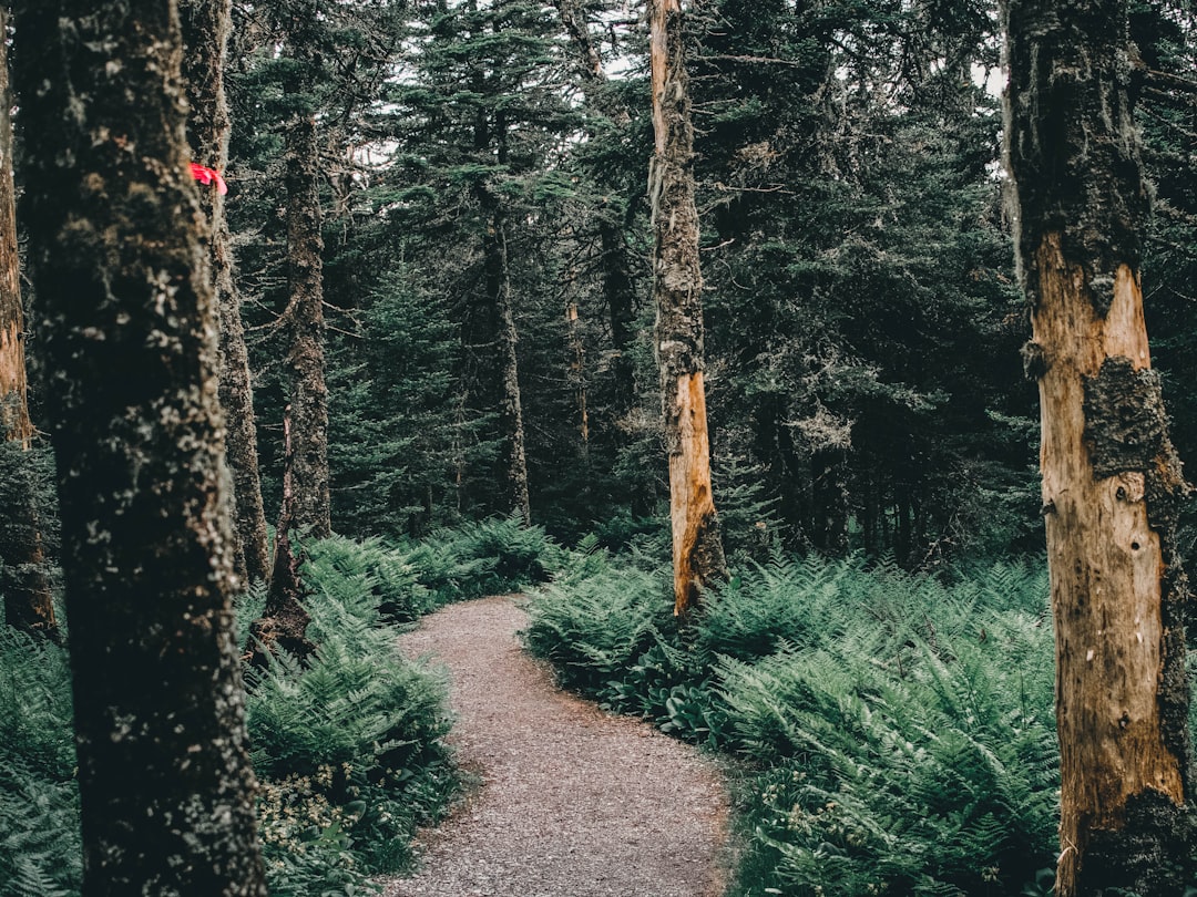
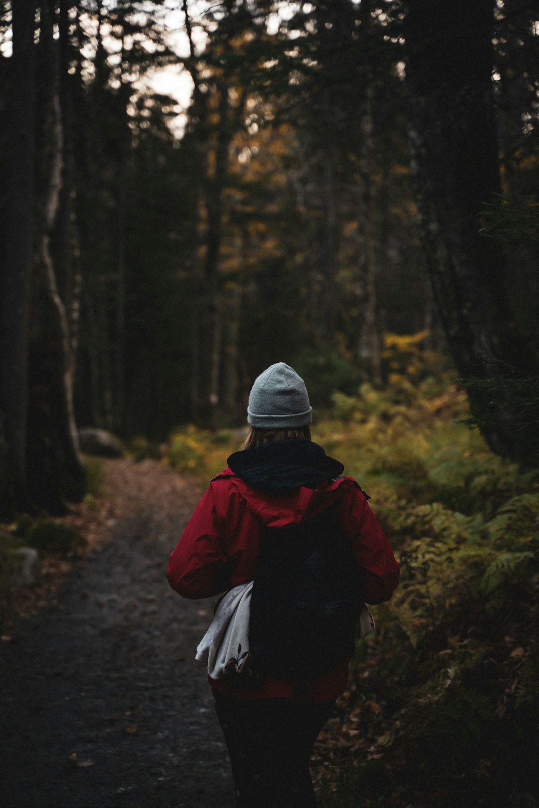
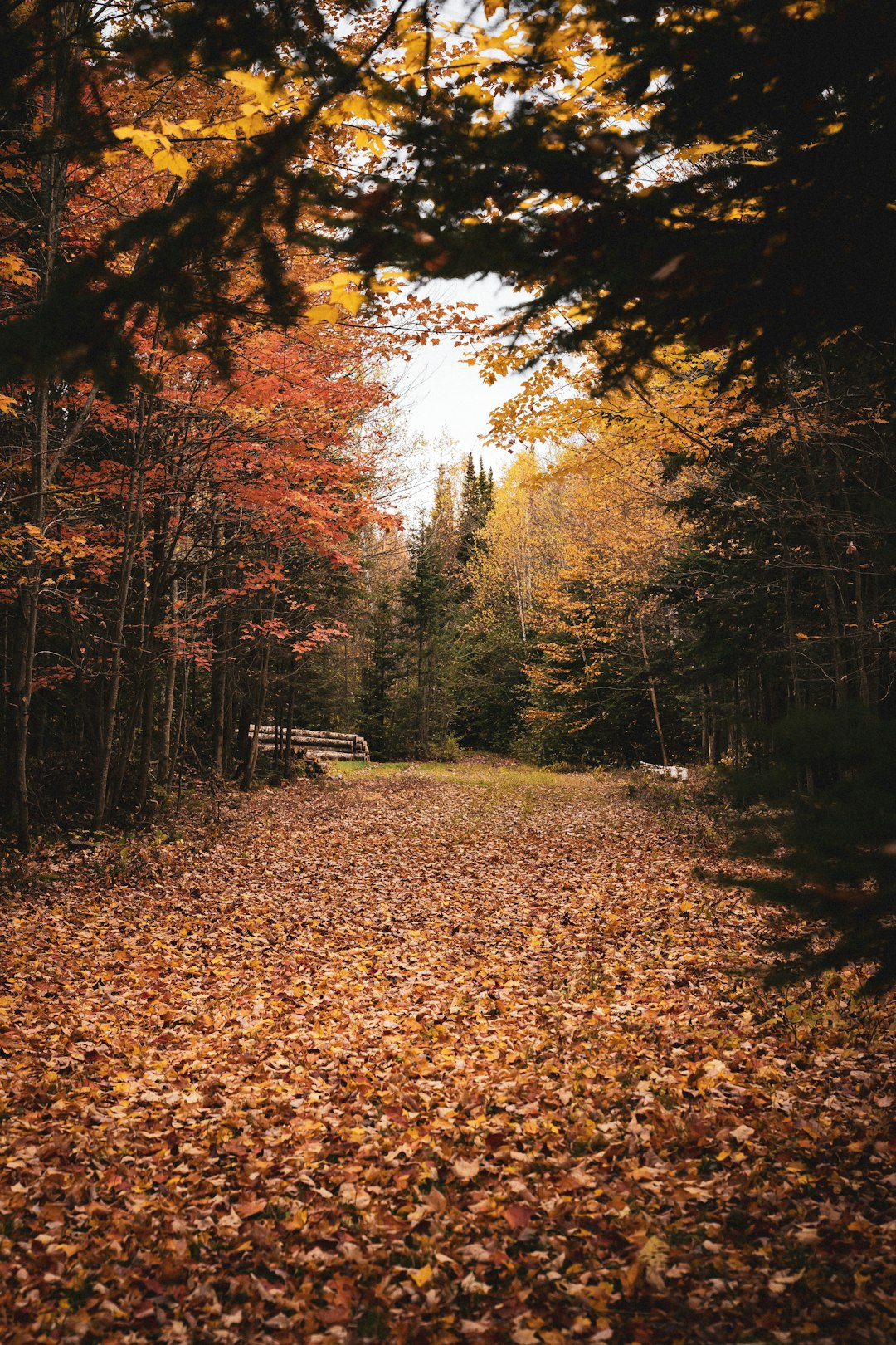
The Best Forest Photo Spots around Cantons-de-l'Est in Canada
Explore Forest pictures of Cantons-de-l'Est with the travel spots on a map
Download the Travel Map of Canada on Google Maps here
8 Forest Spots of Cantons-de-l'Est on a Map
Pictures of Forest on the interacive map of Cantons-de-l'Est
Download On Google Maps 🗺️📲Forest Spots and Pictures around Cantons-de-l'Est
Discover popular destinations in Cantons-de-l'Est with their travel guides
Cantons-de-l'Est
Read the Travel guide View on Google Maps
Sherbrooke
16 km away from Cantons-de-l'Est
Read the Travel guide View on Google Maps
Mont Chauve
39 km away from Cantons-de-l'Est
Read the Travel guide View on Google Maps
Parc national du Mont-Orford
40 km away from Cantons-de-l'Est
Read the Travel guide View on Google Maps
Parc National du Mont-Orford - Secteur du Lac-Stukely
40 km away from Cantons-de-l'Est
Read the Travel guide View on Google Maps
Mont-Mégantic National Park
50 km away from Cantons-de-l'Est
Read the Travel guide View on Google Maps

Parc national du Mont-Mégantic - Secteur de l'observatoire
50 km away from Cantons-de-l'Est
Read the Travel guide View on Google Maps
Parc national du Mont-Mégantic
50 km away from Cantons-de-l'Est
Read the Travel guide View on Google Maps
Book your Travel Experience in Cantons-de-l'Est
Discover the best tours and activities in Cantons-de-l'Est and book your travel experience today with our booking partners
Learn More about Cantons-de-l'Est
Find Hotels in Cantons-de-l'Est
Discover the best hotels around Cantons-de-l'Est, Canada and book your stay today with our booking partner booking.com