The Best Forest Photo Spots around Peterborough in Canada

Explore Forest pictures of Peterborough with the travel spots on a map
Download the Travel Map of Canada on Google Maps here
12 Forest Spots of Peterborough on a Map
Pictures of Forest on the interacive map of Peterborough
Download On Google Maps 🗺️📲Forest Spots and Pictures around Peterborough
Discover popular destinations in Peterborough with their travel guides
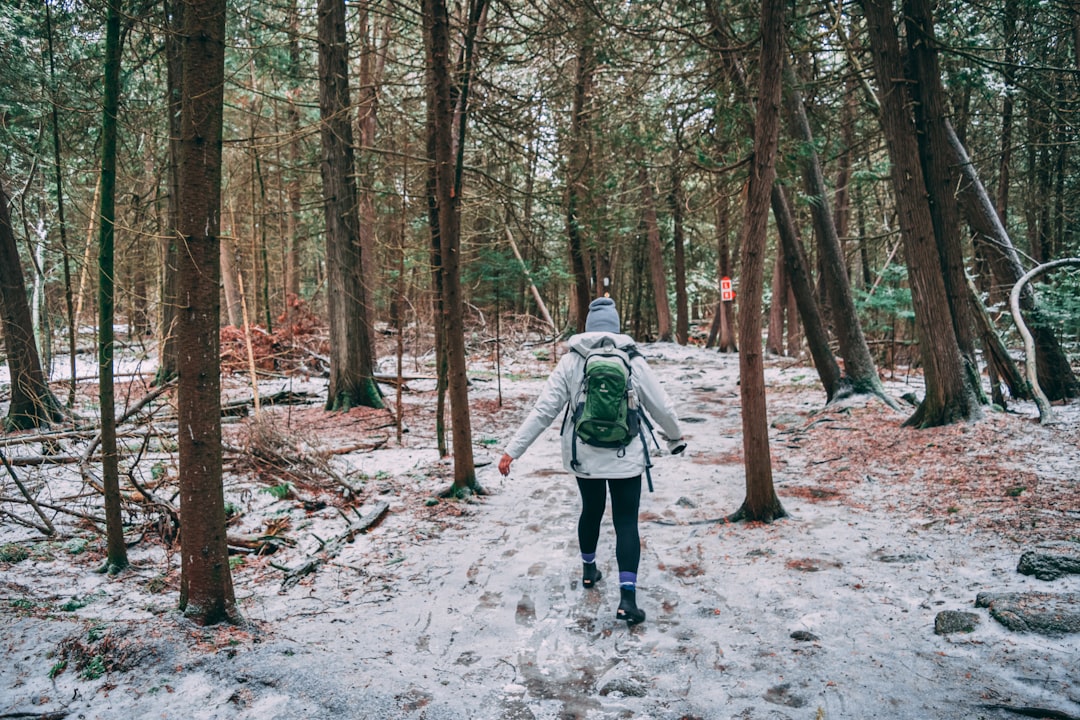
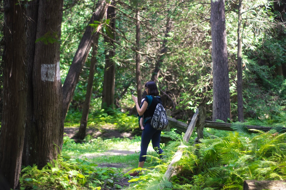
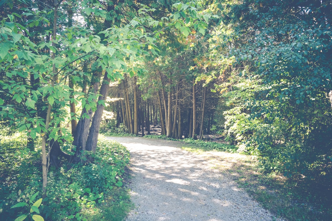
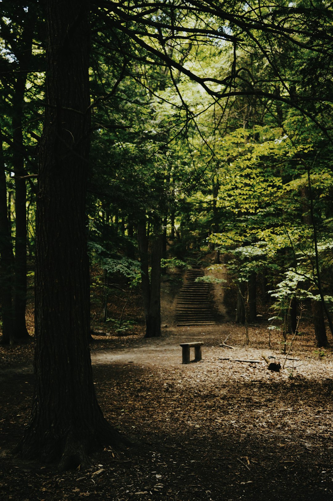
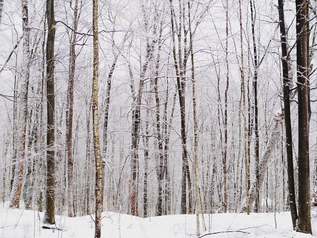
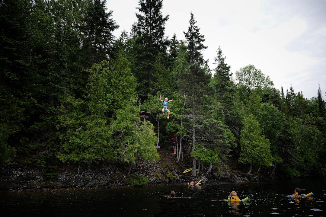
Peterborough
Read the Travel guide View on Google Maps
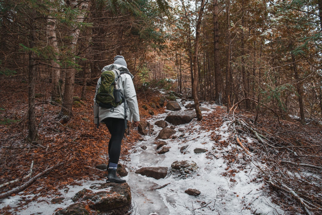
Caves Road
22 km away from Peterborough
Read the Travel guide View on Google Maps
Caves & Scenic Lookout Trail
23 km away from Peterborough
Read the Travel guide View on Google Maps
Petroglyphs Provincial Park
41 km away from Peterborough
Read the Travel guide View on Google Maps
18 Response St
43 km away from Peterborough
Read the Travel guide View on Google Maps
Orono
44 km away from Peterborough
Read the Travel guide View on Google Maps
Loom Lake
50 km away from Peterborough
Read the Travel guide View on Google Maps

Jack Pine Trail
66 km away from Peterborough
Read the Travel guide View on Google Maps


Whitby
68 km away from Peterborough
Read the Travel guide View on Google Maps
Rouge Valley Trail
89 km away from Peterborough
Read the Travel guide View on Google Maps
Bancroft
91 km away from Peterborough
Read the Travel guide View on Google Maps
Thomson Memorial Park
97 km away from Peterborough
Read the Travel guide View on Google Maps

Book your Travel Experience in Peterborough
Discover the best tours and activities in Peterborough and book your travel experience today with our booking partners
Learn More about Peterborough
Find Hotels in Peterborough
Discover the best hotels around Peterborough, Canada and book your stay today with our booking partner booking.com