The Best Reservoir Photo Spots around Richmond in Canada
Explore Reservoir pictures of Richmond with the travel spots on a map
Download the Travel Map of Canada on Google Maps here
13 Reservoir Spots of Richmond on a Map
Pictures of Reservoir on the interacive map of Richmond
Download On Google Maps 🗺️📲Reservoir Spots and Pictures around Richmond
Discover popular destinations in Richmond with their travel guides
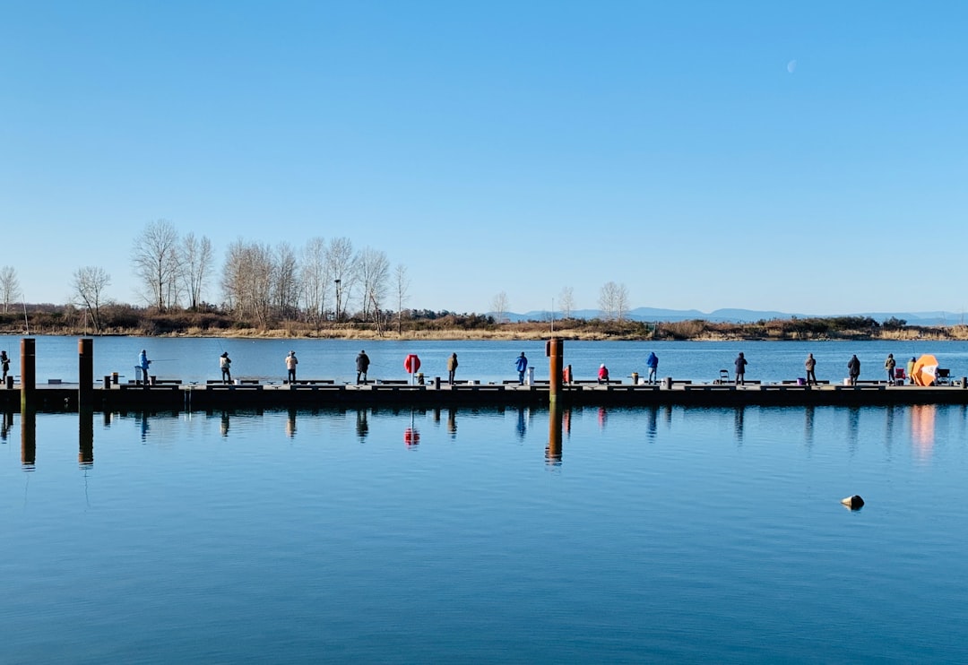
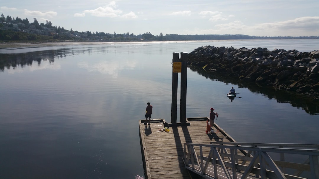
Bayview St
Read the Travel guide View on Google Maps
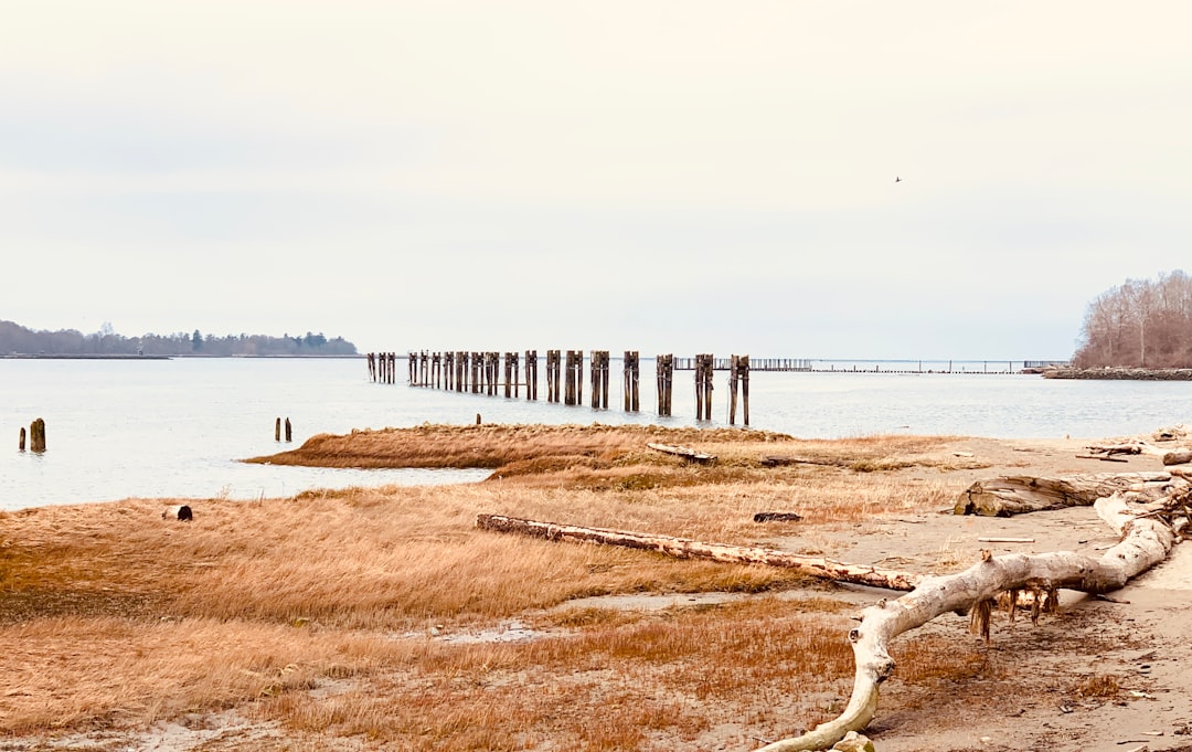
6820 Dyke Rd
2 km away from Richmond
Read the Travel guide View on Google Maps
Vancouver
18 km away from Richmond
Read the Travel guide View on Google Maps
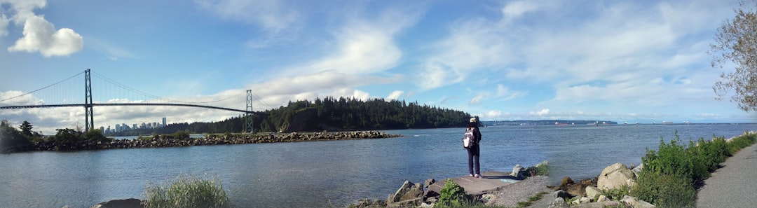
Ambleside Lane
23 km away from Richmond
Read the Travel guide View on Google Maps
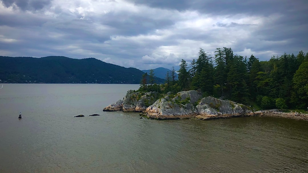
Whyte Islet Park
29 km away from Richmond
Read the Travel guide View on Google Maps
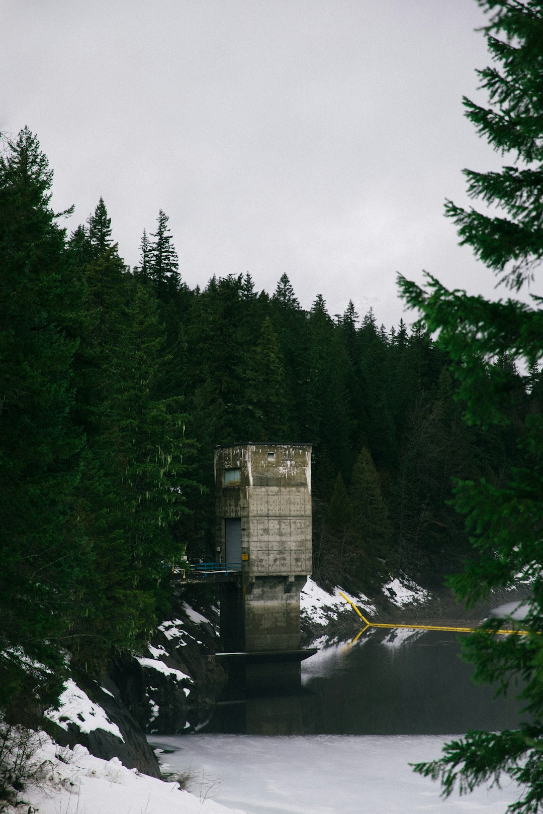
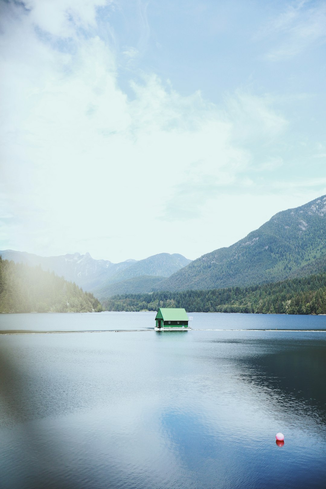
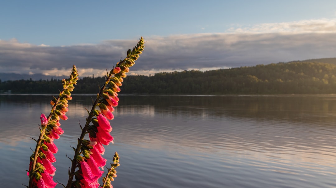
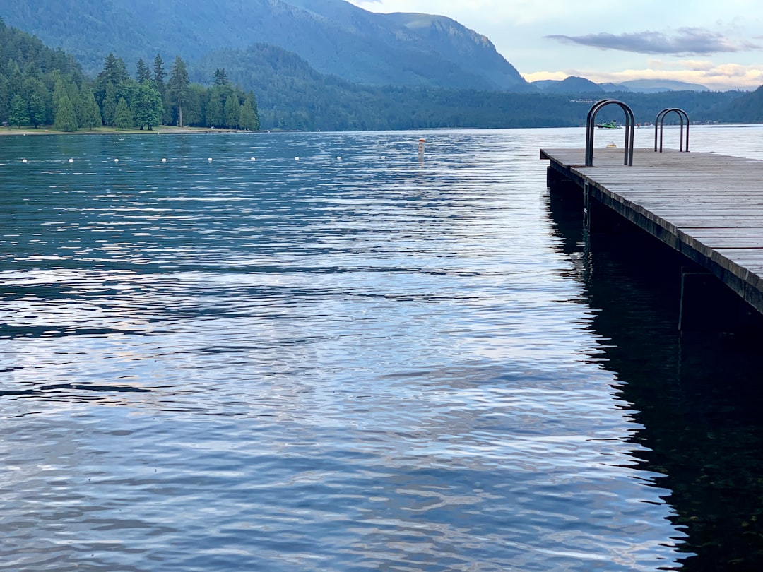
Capilano Lake
29 km away from Richmond
Read the Travel guide View on Google Maps
White Rock
29 km away from Richmond
Read the Travel guide View on Google Maps
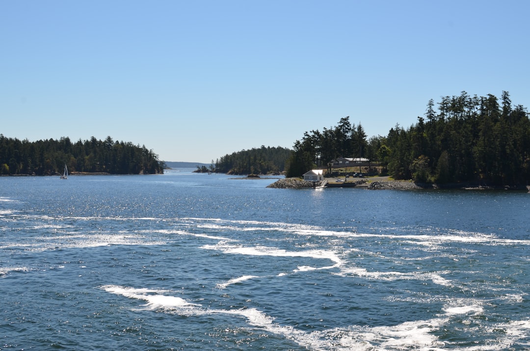
Mayne Island
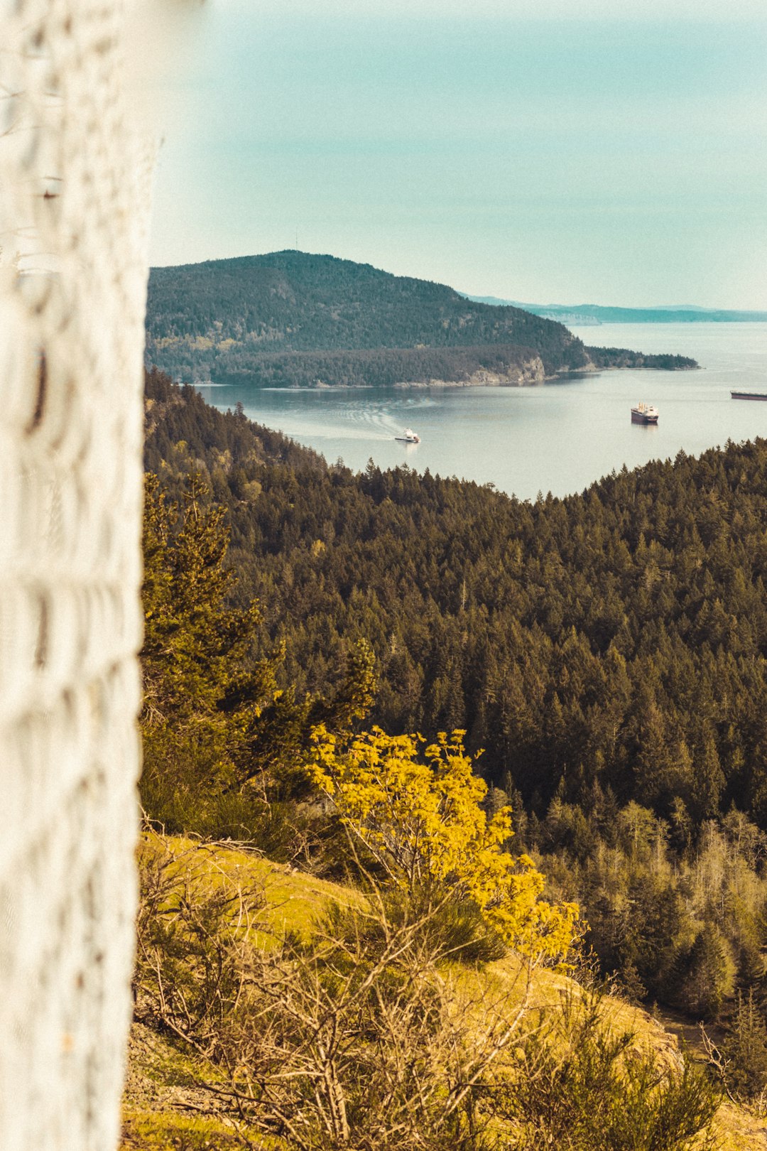
32 km away from Richmond
Read the Travel guide View on Google Maps
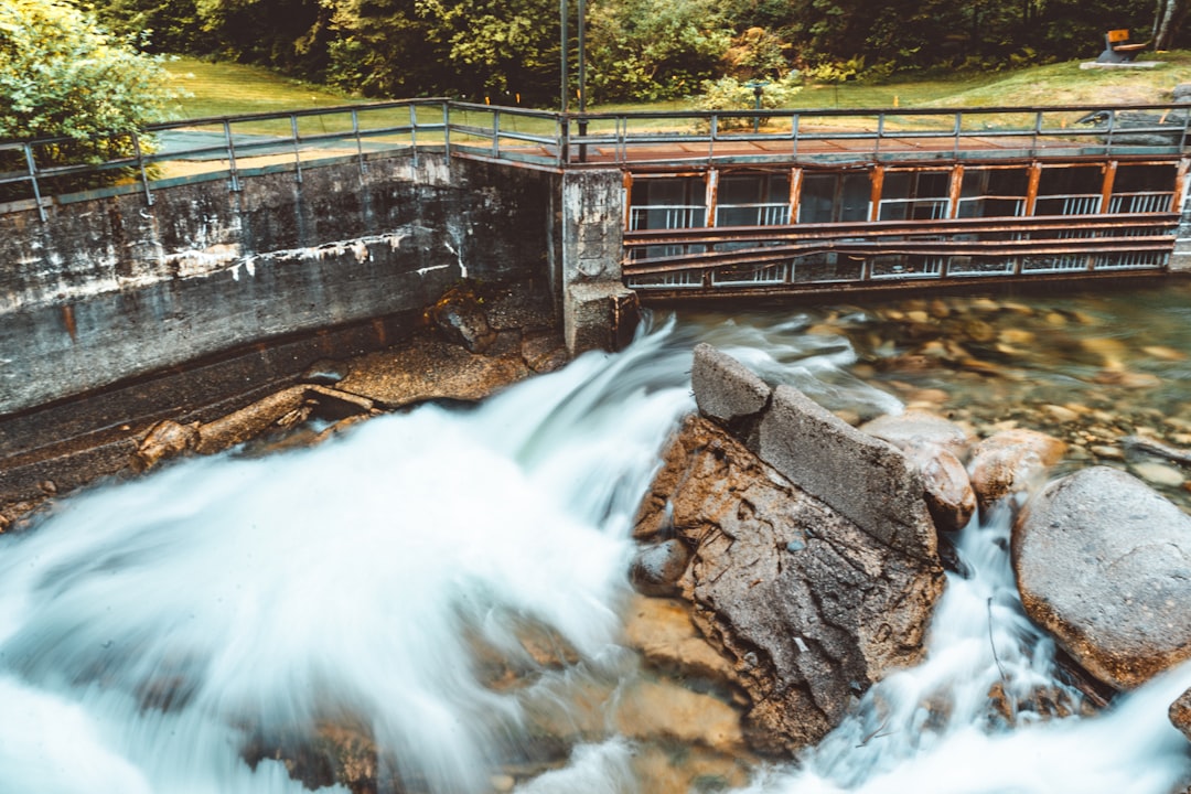
Norvan Falls Trail
34 km away from Richmond
Read the Travel guide View on Google Maps
Fort Langley
44 km away from Richmond
Read the Travel guide View on Google Maps
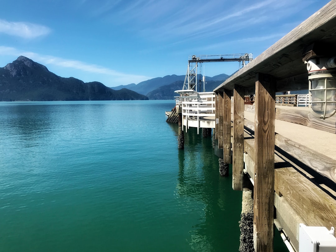
Porteau Cove Park
49 km away from Richmond
Read the Travel guide View on Google Maps
Sidney
55 km away from Richmond
Read the Travel guide View on Google Maps
3305 Columbia Valley Hwy
89 km away from Richmond
Read the Travel guide View on Google Maps
Book your Travel Experience in Richmond
Discover the best tours and activities in Richmond and book your travel experience today with our booking partners
Learn More about Richmond
Find Hotels in Richmond
Discover the best hotels around Richmond, Canada and book your stay today with our booking partner booking.com