The Best River Photo Spots around Rawdon in Canada
Explore River pictures of Rawdon with the travel spots on a map
Download the Travel Map of Canada on Google Maps here
10 River Spots of Rawdon on a Map
Pictures of River on the interacive map of Rawdon
Download On Google Maps 🗺️📲River Spots and Pictures around Rawdon
Discover popular destinations in Rawdon with their travel guides
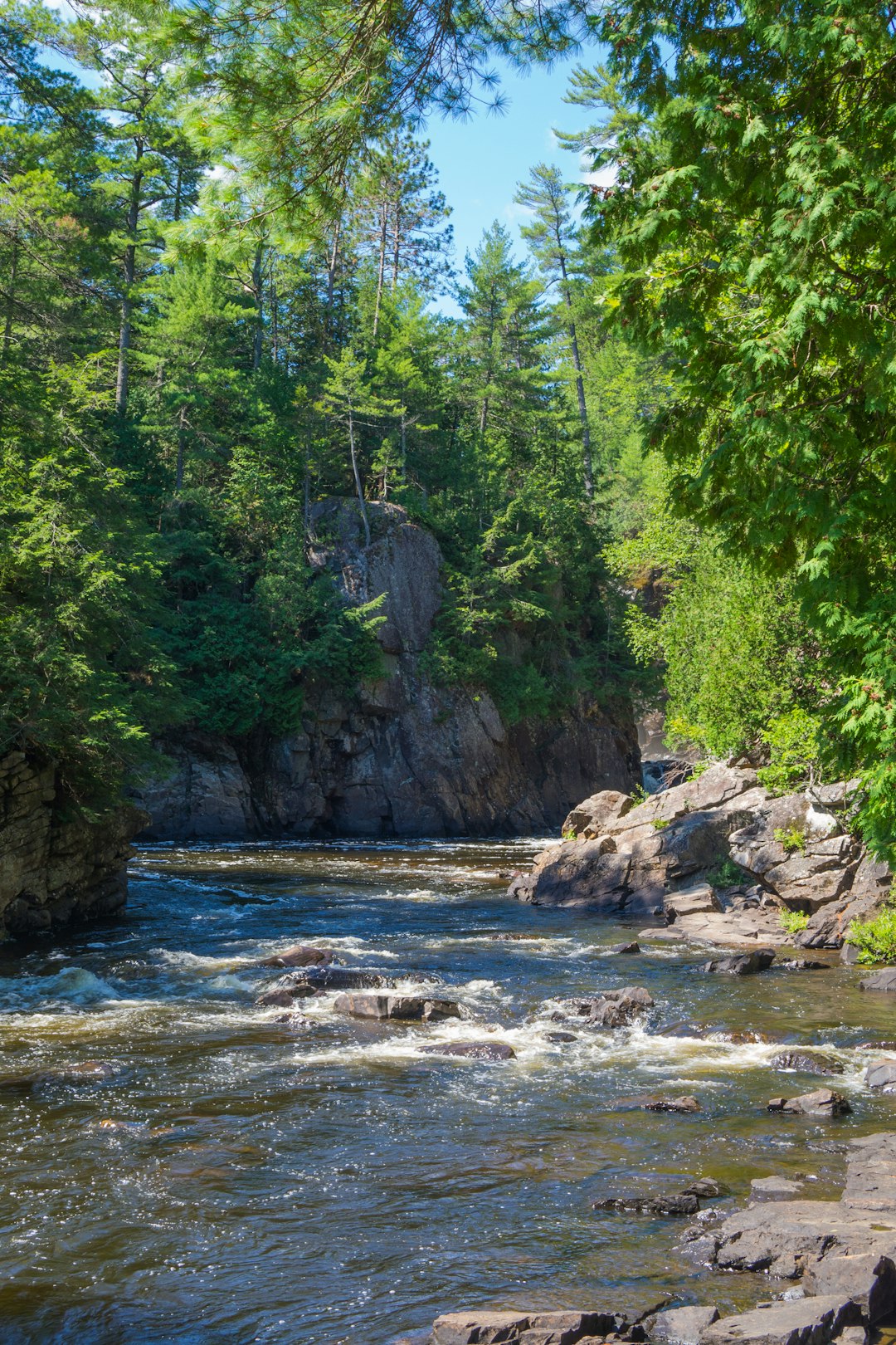
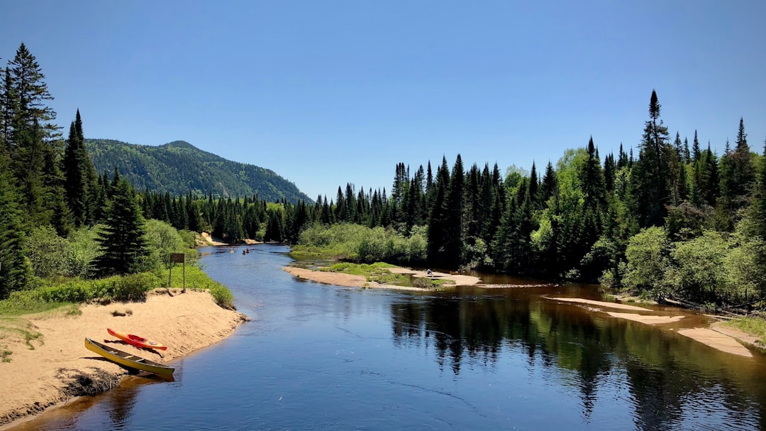
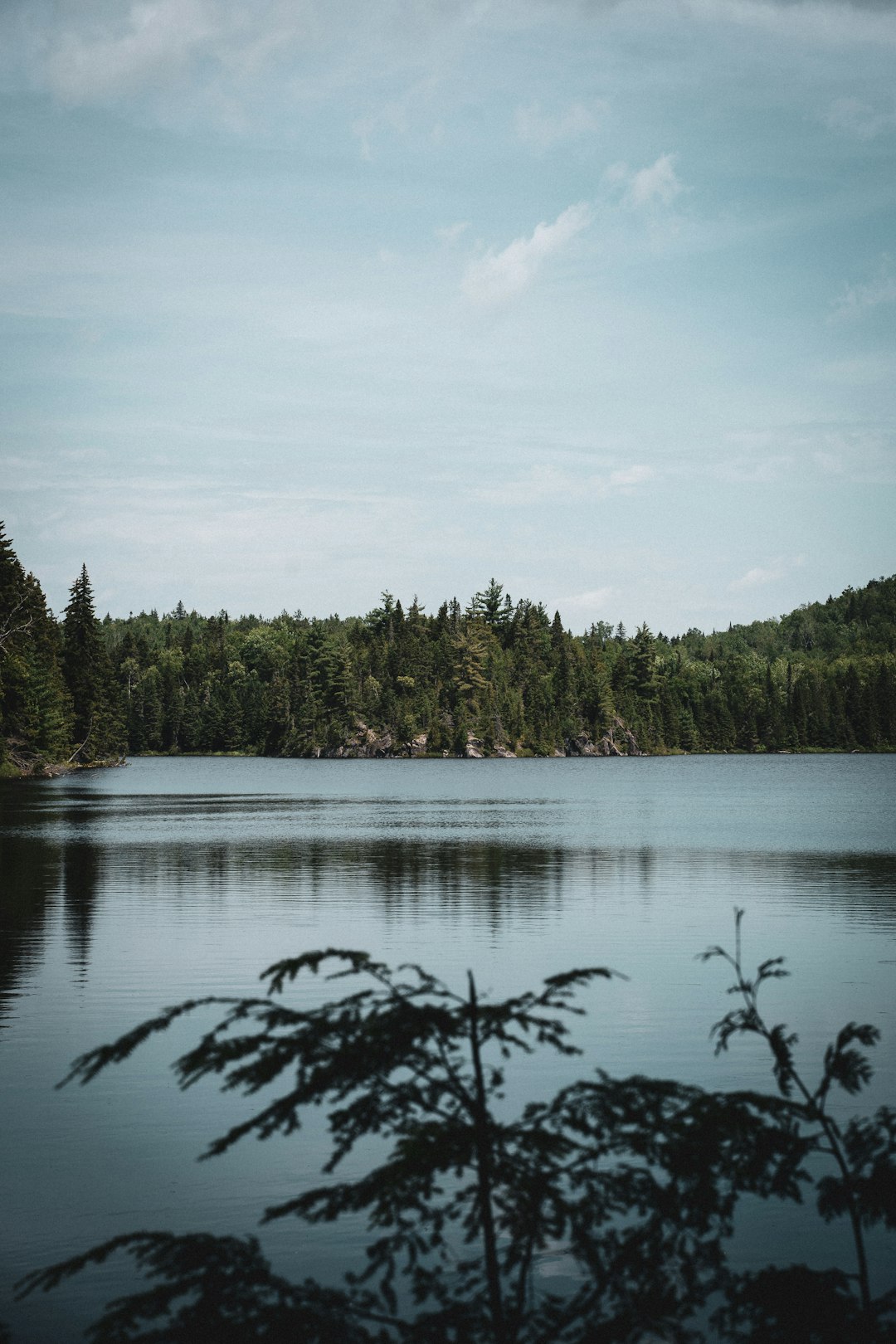
Rawdon
Read the Travel guide View on Google Maps
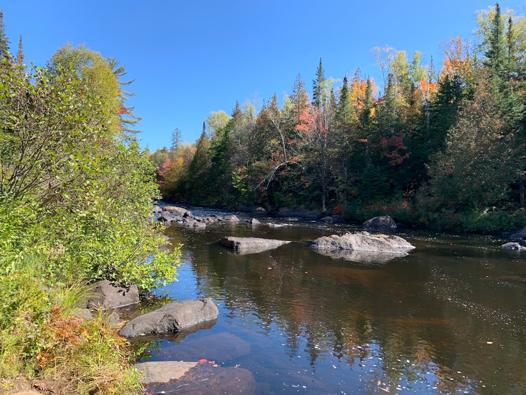
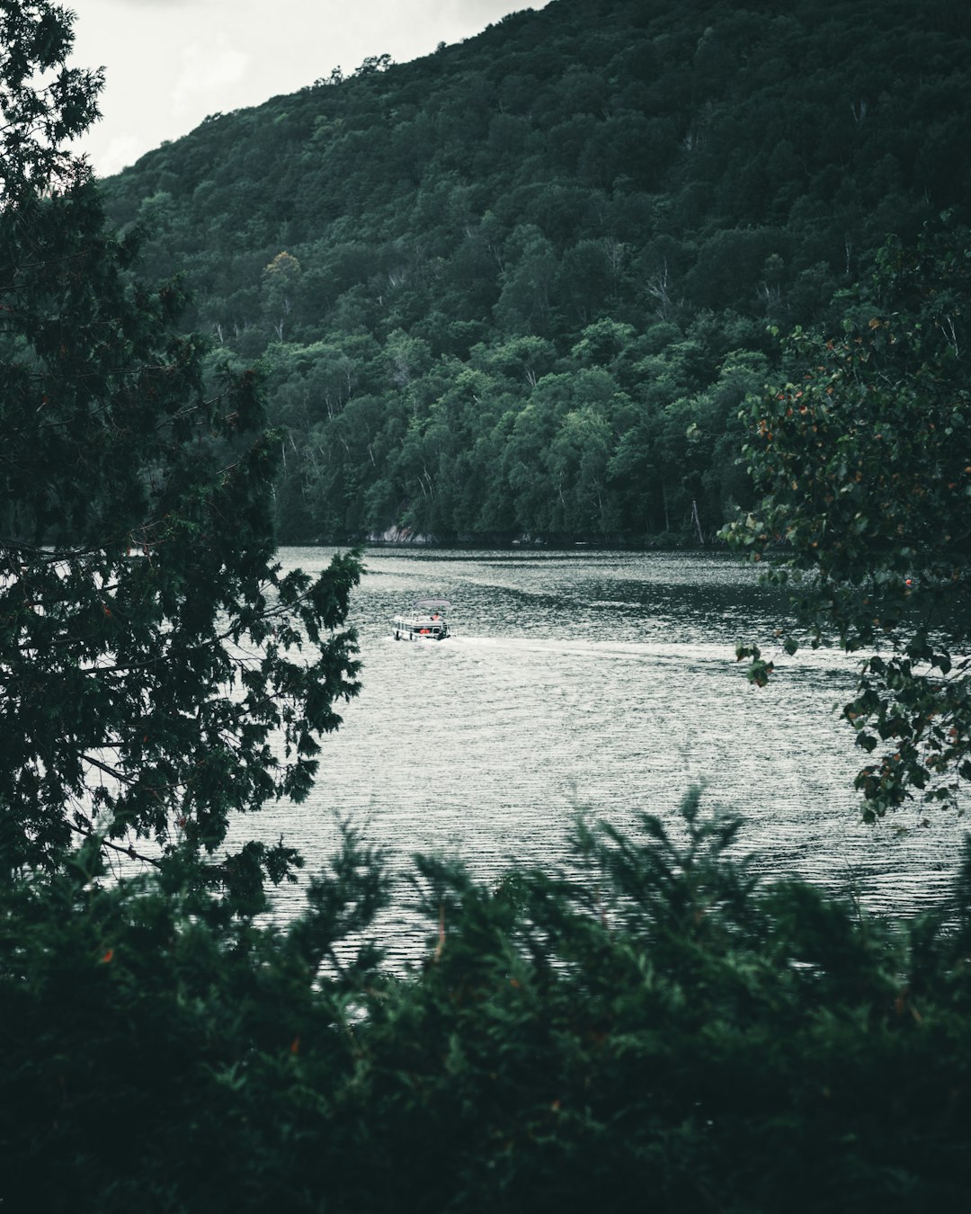
Rivière Doncaster
30 km away from Rawdon
Read the Travel guide View on Google Maps
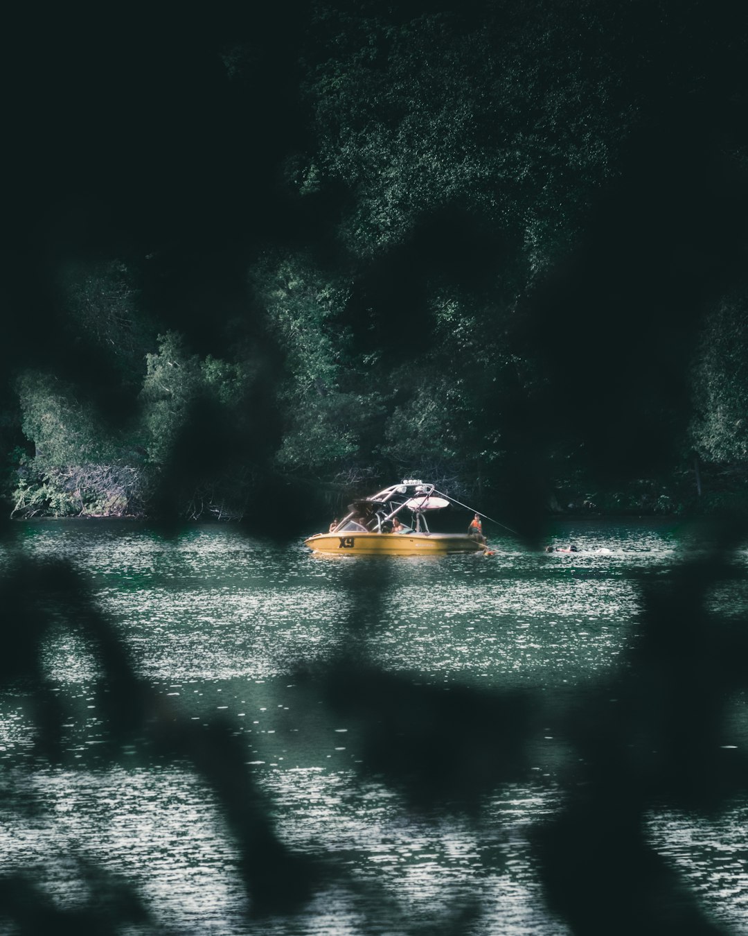
Regional Park Forest Ouareau
33 km away from Rawdon
Read the Travel guide View on Google Maps

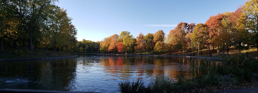
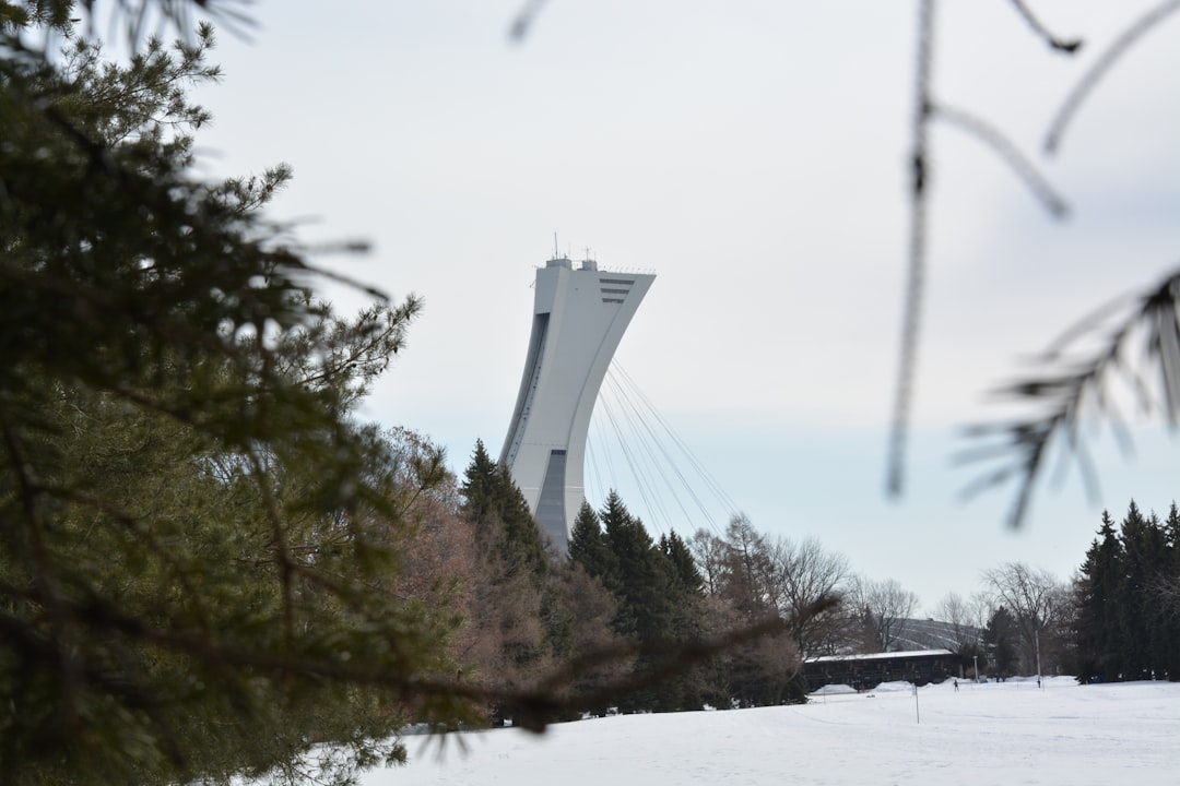
Montréal
61 km away from Rawdon
Read the Travel guide View on Google Maps
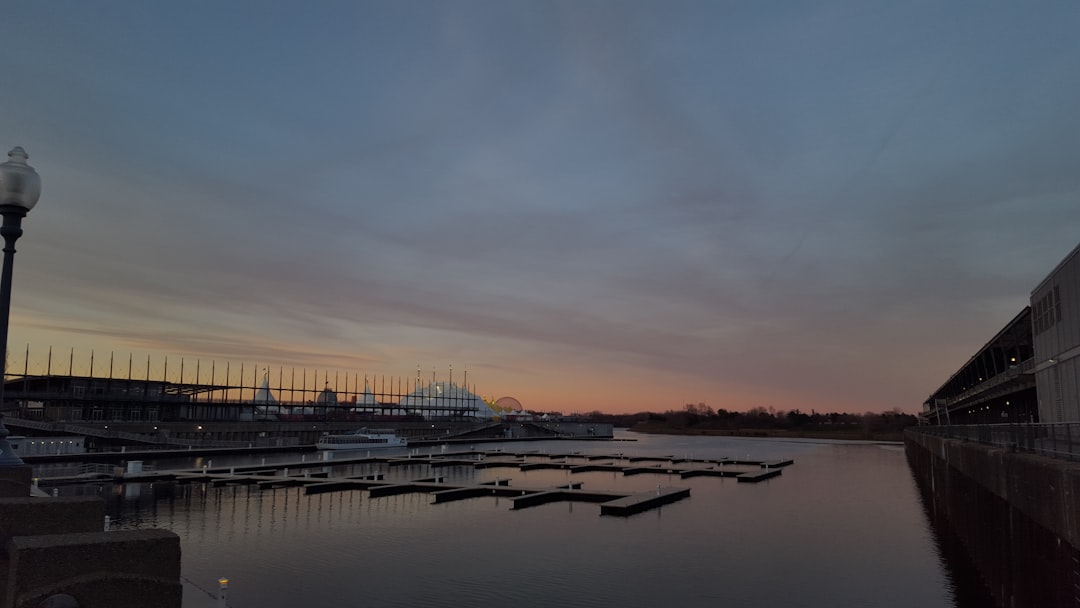
39 Rue de la Commune E
61 km away from Rawdon
Read the Travel guide View on Google Maps
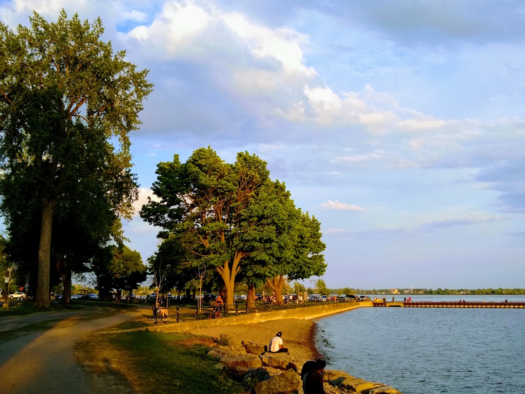
Chemin Bord-du-Lac
67 km away from Rawdon
Read the Travel guide View on Google Maps
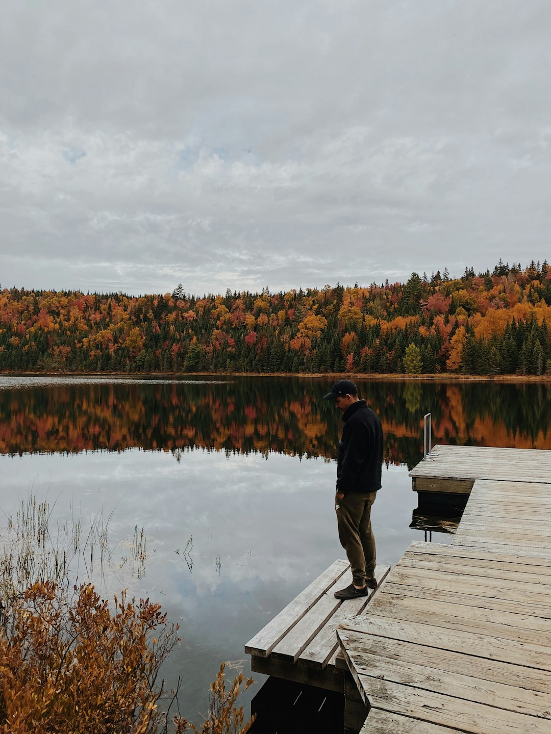
Mt Tremblant National Park
69 km away from Rawdon
Read the Travel guide View on Google Maps
Mont-Tremblant
69 km away from Rawdon
Read the Travel guide View on Google Maps
Lac-Wapizagonke
92 km away from Rawdon
Read the Travel guide View on Google Maps
Parc National de la Mauricie
97 km away from Rawdon
Read the Travel guide View on Google Maps
Book your Travel Experience in Rawdon
Discover the best tours and activities in Rawdon and book your travel experience today with our booking partners
Learn More about Rawdon
Find Hotels in Rawdon
Discover the best hotels around Rawdon, Canada and book your stay today with our booking partner booking.com