The Best River Photo Spots around Sainte-Adèle in Canada
Explore River pictures of Sainte-Adèle with the travel spots on a map
Download the Travel Map of Canada on Google Maps here
8 River Spots of Sainte-Adèle on a Map
Pictures of River on the interacive map of Sainte-Adèle
Download On Google Maps 🗺️📲River Spots and Pictures around Sainte-Adèle
Discover popular destinations in Sainte-Adèle with their travel guides
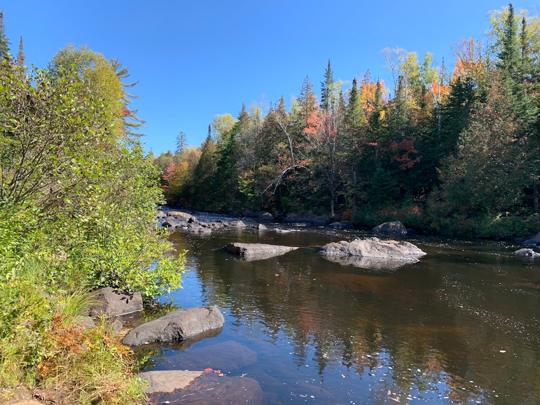
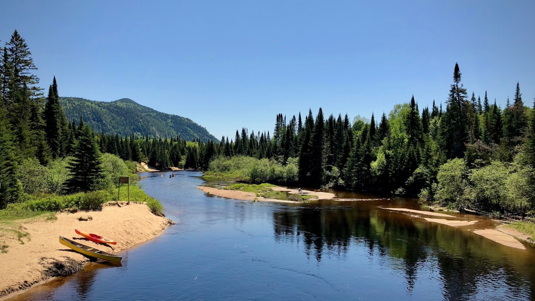
Rivière Doncaster
Read the Travel guide View on Google Maps
Regional Park Forest Ouareau
28 km away from Sainte-Adèle
Read the Travel guide View on Google Maps

Rawdon
30 km away from Sainte-Adèle
Read the Travel guide View on Google Maps
Mont-Tremblant
43 km away from Sainte-Adèle
Read the Travel guide View on Google Maps
Mt Tremblant National Park
49 km away from Sainte-Adèle
Read the Travel guide View on Google Maps
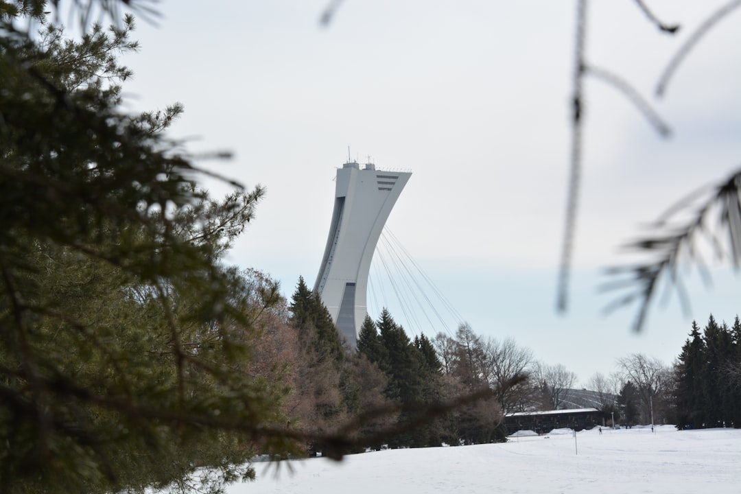
Montréal
66 km away from Sainte-Adèle
Read the Travel guide View on Google Maps
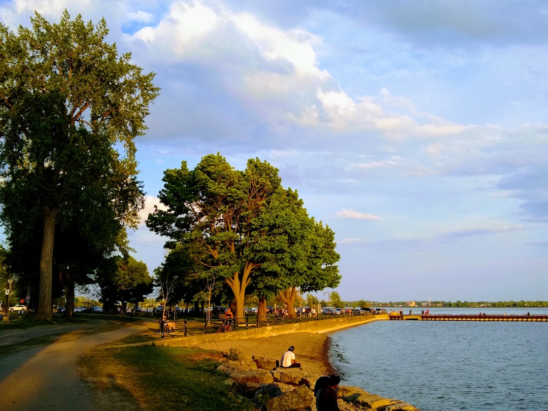
Chemin Bord-du-Lac
66 km away from Sainte-Adèle
Read the Travel guide View on Google Maps
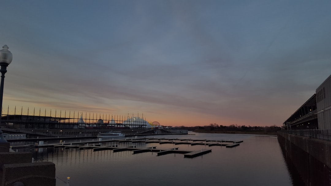
39 Rue de la Commune E
66 km away from Sainte-Adèle
Read the Travel guide View on Google Maps
Book your Travel Experience in Sainte-Adèle
Discover the best tours and activities in Sainte-Adèle and book your travel experience today with our booking partners
Learn More about Sainte-Adèle
Find Hotels in Sainte-Adèle
Discover the best hotels around Sainte-Adèle, Canada and book your stay today with our booking partner booking.com