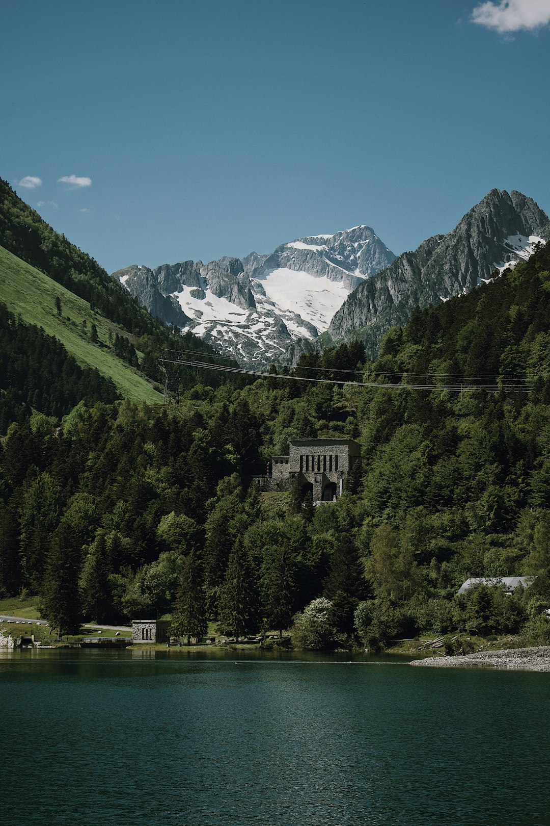
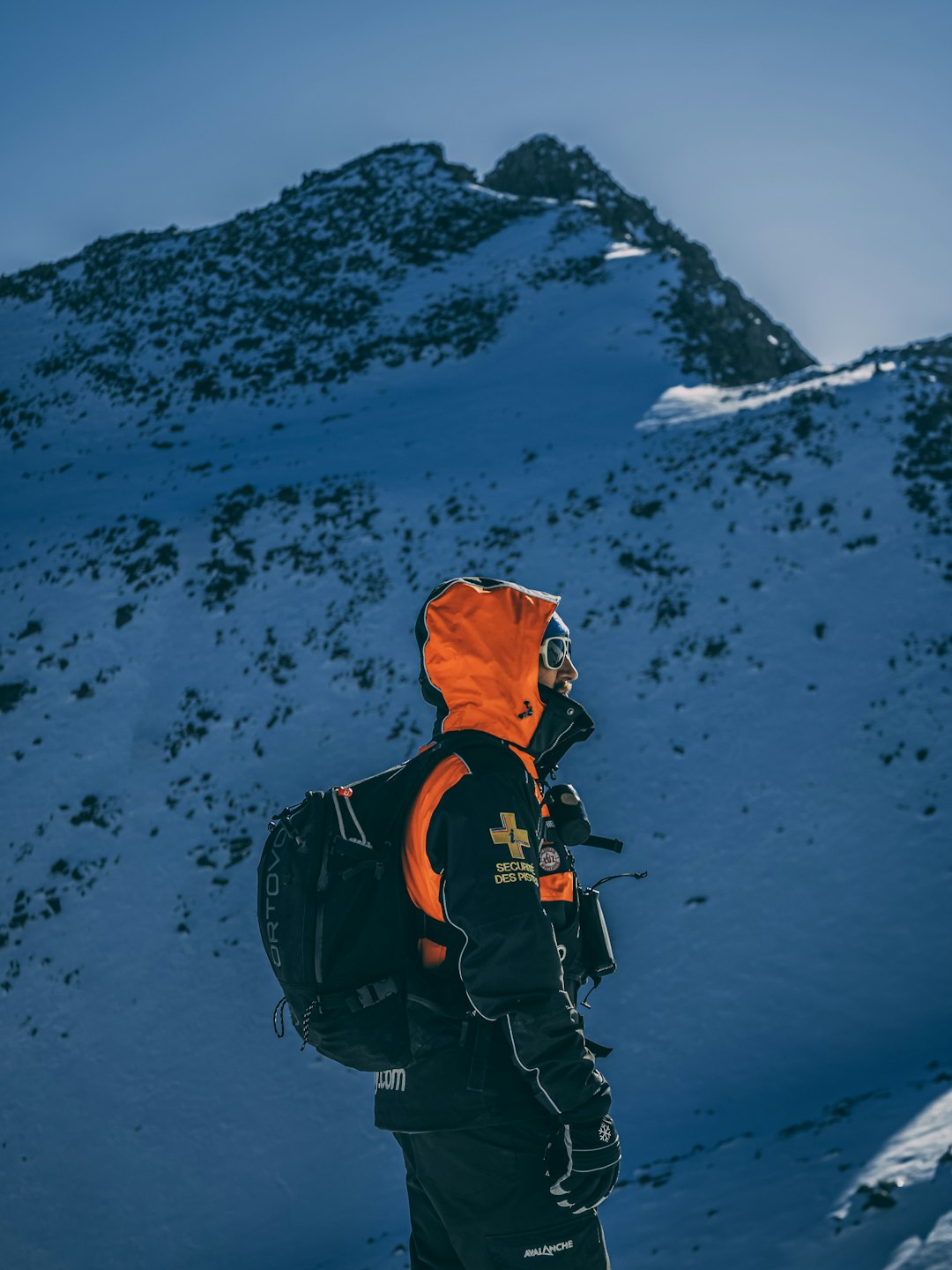
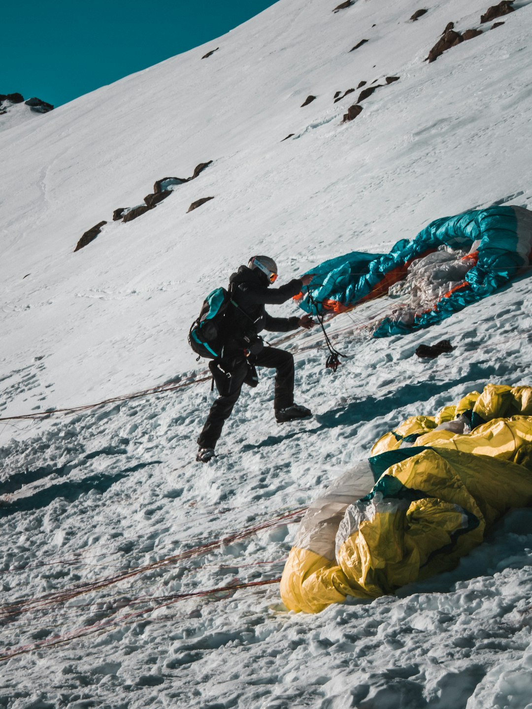
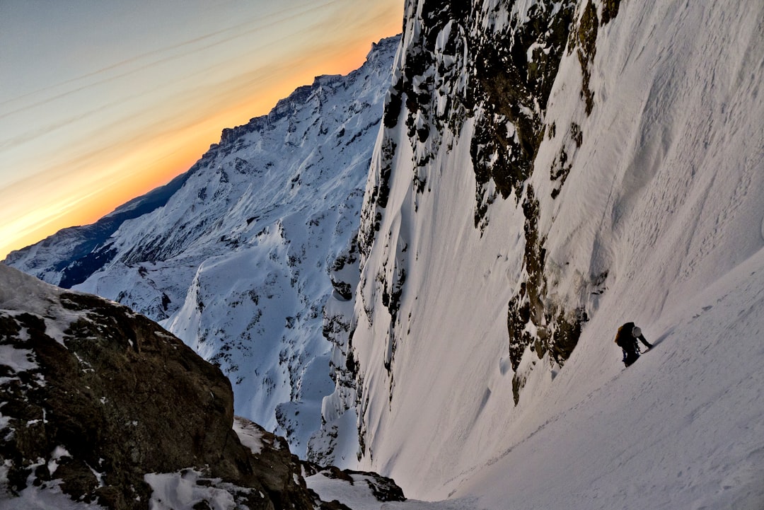
The Best Mountaineering Photo Spots around Argelès-Gazost in France
Explore Mountaineering pictures of Argelès-Gazost with the travel spots on a map
Download the Travel Map of France on Google Maps here
4 Mountaineering Spots of Argelès-Gazost on a Map
Pictures of Mountaineering on the interacive map of Argelès-Gazost
Download On Google Maps 🗺️📲Mountaineering Spots and Pictures around Argelès-Gazost
Discover popular destinations in Argelès-Gazost with their travel guides
Argelès-Gazost
Read the Travel guide View on Google Maps
Luz-Saint-Sauveur
17 km away from Argelès-Gazost
Read the Travel guide View on Google Maps
Pic du Midi d'Ossau
32 km away from Argelès-Gazost
Read the Travel guide View on Google Maps
Cier-de-Luchon
59 km away from Argelès-Gazost
Read the Travel guide View on Google Maps
Book your Travel Experience in Argelès-Gazost
Discover the best tours and activities in Argelès-Gazost and book your travel experience today with our booking partners
Learn More about Argelès-Gazost
Find Hotels in Argelès-Gazost
Discover the best hotels around Argelès-Gazost, France and book your stay today with our booking partner booking.com