Travel Guide of Blauen in Germany by Influencers and Travelers
Blauen or Hochblauen is a 1,165-metre-high mountain in the southern Black Forest. The peak lies within the municipalities of Schliengen and Malsburg-Marzell in Landkreis Lörrach and the community of Badenweiler in Breisgau-Hochschwarzwald.
Download the Travel Map of Germany on Google Maps here
Pictures and Stories of Blauen from Influencers
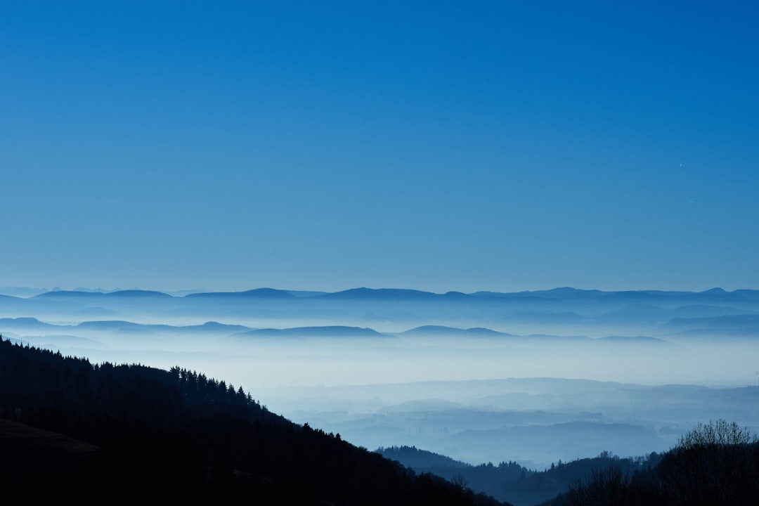
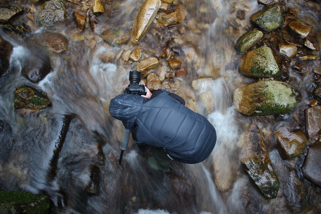
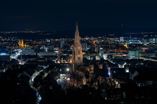
Picture from Max Langelott who have traveled to Blauen
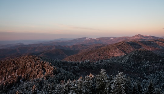
- Mount “Blauen”, Black Forest, Southern Germany. | 24.3.18 ...click to read more
- Experienced by @Max Langelott | ©Unsplash
Plan your trip in Blauen with AI 🤖 🗺
Roadtrips.ai is a AI powered trip planner that you can use to generate a customized trip itinerary for any destination in Germany in just one clickJust write your activities preferences, budget and number of days travelling and our artificial intelligence will do the rest for you
👉 Use the AI Trip Planner
Book your Travel Experience at Blauen
Discover the best tours and activities around Blauen, Germany and book your travel experience today with our booking partners
Map of Blauen
View Blauen on a map with the the closest popular places nearby
Download On Google Maps 🗺️📲
More Travel spots to explore around Blauen
Click on the pictures to learn more about the places and to get directions
Discover more travel spots to explore around Blauen
⛰️ Hill spotsWhere to Stay near Blauen
Discover the best hotels around Blauen, Germany and book your stay today with our booking partner booking.com
Popular destinations near Blauen
Disover the best Instagram Spots around Blauen here
Rickenbach
27 km (17.0 miles) away from Blauen
Rickenbach is a town in the district of Waldshut in Baden-Württemberg in Germany.
Travel guide of Rickenbach