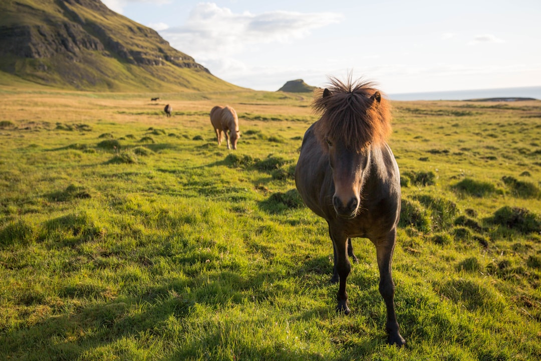
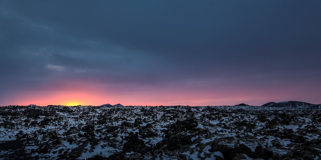
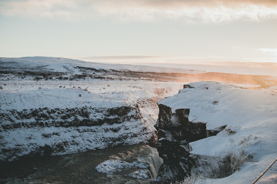
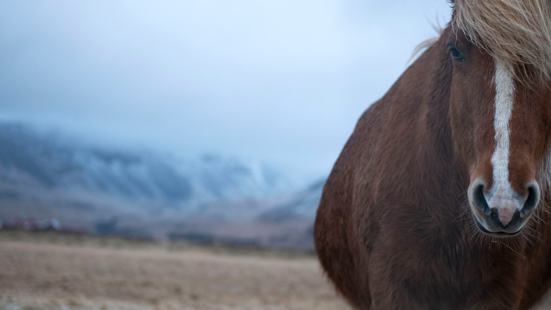
The Best Ecoregion Photo Spots around Suðurlandsvegur in Iceland
Explore Ecoregion pictures of Suðurlandsvegur with the travel spots on a map
Download the Travel Map of Iceland on Google Maps here
9 Ecoregion Spots of Suðurlandsvegur on a Map
Pictures of Ecoregion on the interacive map of Suðurlandsvegur
Download On Google Maps 🗺️📲Ecoregion Spots and Pictures around Suðurlandsvegur
Discover popular destinations in Suðurlandsvegur with their travel guides
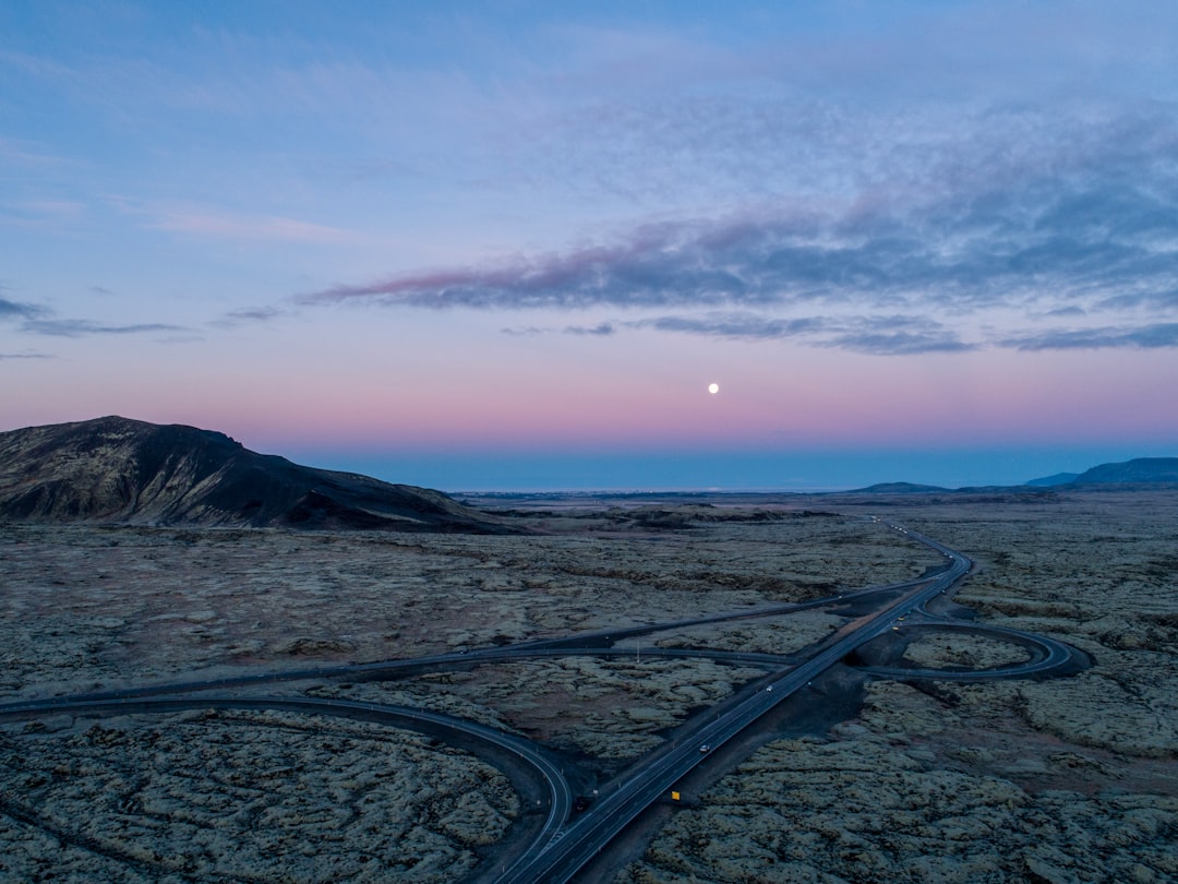
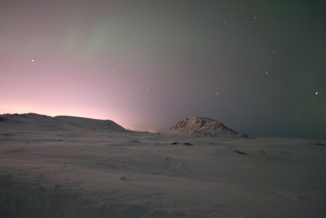
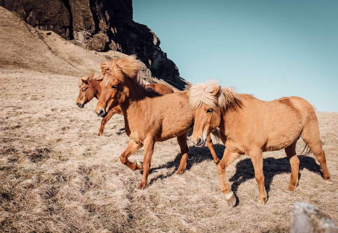
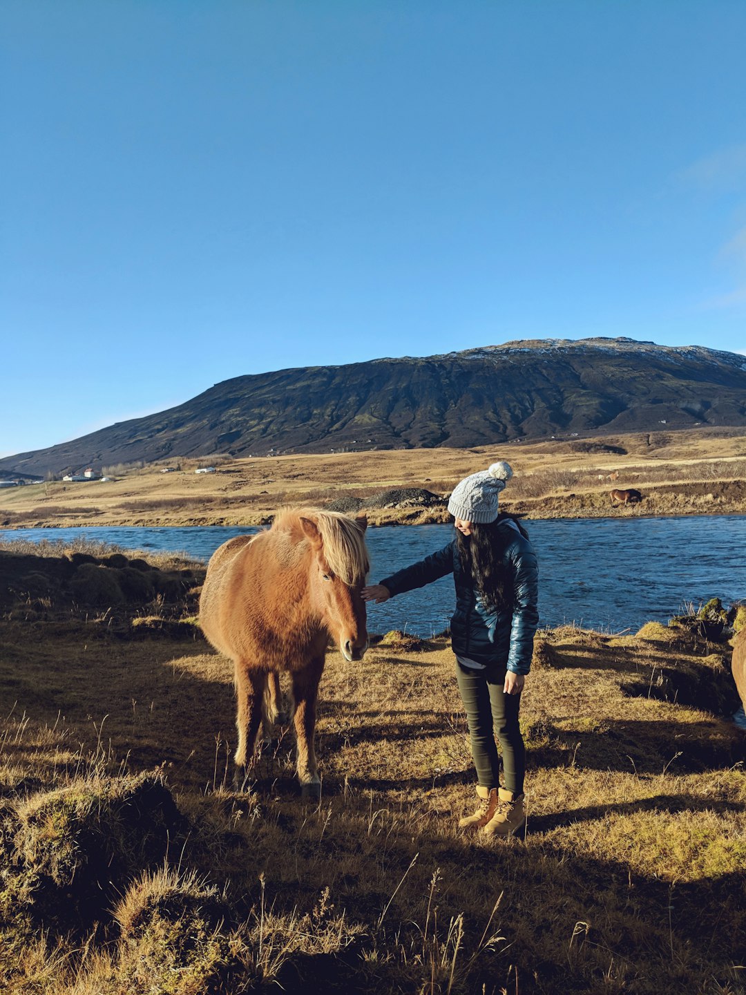
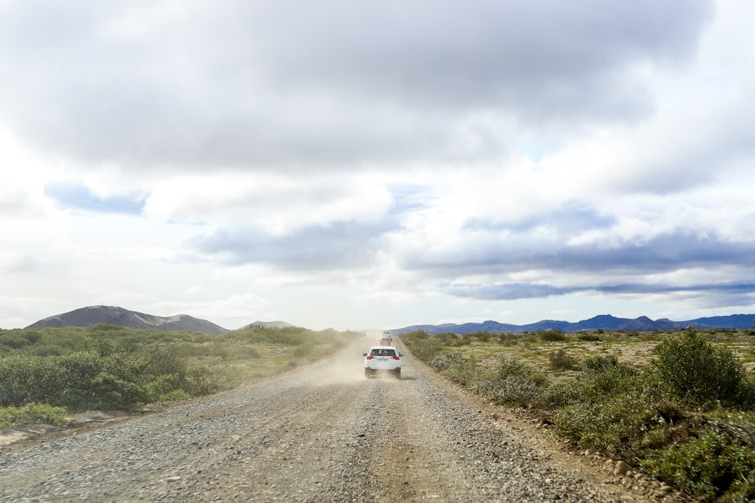
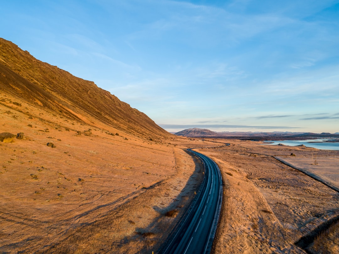
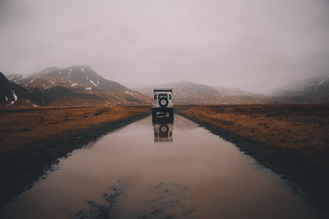
Suðurlandsvegur
Read the Travel guide View on Google Maps
Reykjavík
21 km away from Suðurlandsvegur
Read the Travel guide View on Google Maps
Biskupstungnabraut
23 km away from Suðurlandsvegur
Read the Travel guide View on Google Maps
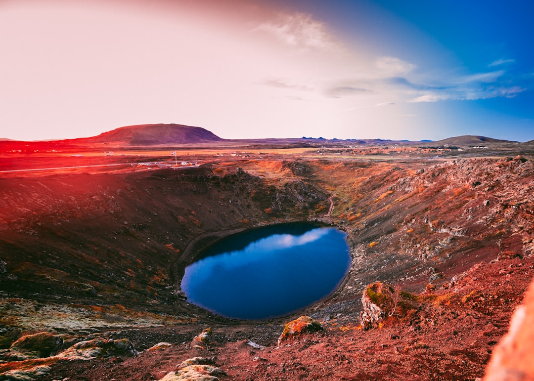
Kerid Crater
27 km away from Suðurlandsvegur
Read the Travel guide View on Google Maps
Skógar
29 km away from Suðurlandsvegur
Read the Travel guide View on Google Maps
Kidafell
34 km away from Suðurlandsvegur
Read the Travel guide View on Google Maps
Blue Lagoon
52 km away from Suðurlandsvegur
Read the Travel guide View on Google Maps
Gullfoss
72 km away from Suðurlandsvegur
Read the Travel guide View on Google Maps
Vallnatún
98 km away from Suðurlandsvegur
Read the Travel guide View on Google Maps
Book your Travel Experience in Suðurlandsvegur
Discover the best tours and activities in Suðurlandsvegur and book your travel experience today with our booking partners
Learn More about Suðurlandsvegur
Find Hotels in Suðurlandsvegur
Discover the best hotels around Suðurlandsvegur, Iceland and book your stay today with our booking partner booking.com