The Best Glacier Photo Spots around Jokulsarlon in Iceland
Explore Glacier pictures of Jokulsarlon with the travel spots on a map
Download the Travel Map of Iceland on Google Maps here
10 Glacier Spots of Jokulsarlon on a Map
Pictures of Glacier on the interacive map of Jokulsarlon
Download On Google Maps 🗺️📲Glacier Spots and Pictures around Jokulsarlon
Discover popular destinations in Jokulsarlon with their travel guides
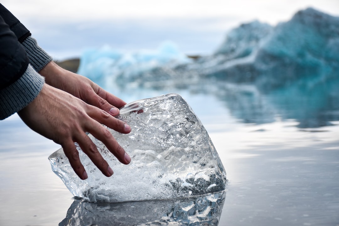
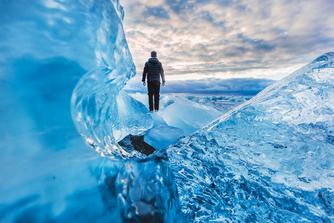
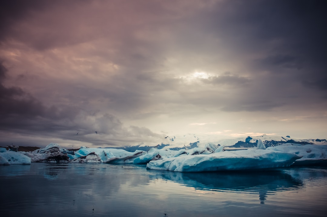
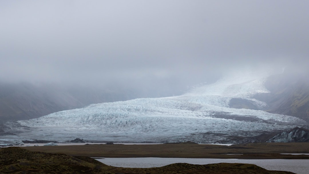
Jokulsarlon
Read the Travel guide View on Google Maps
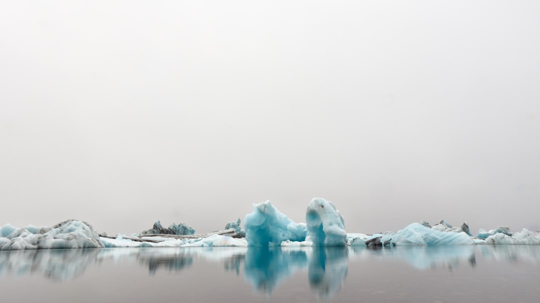
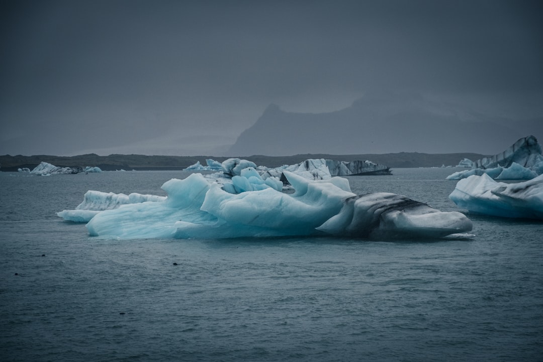
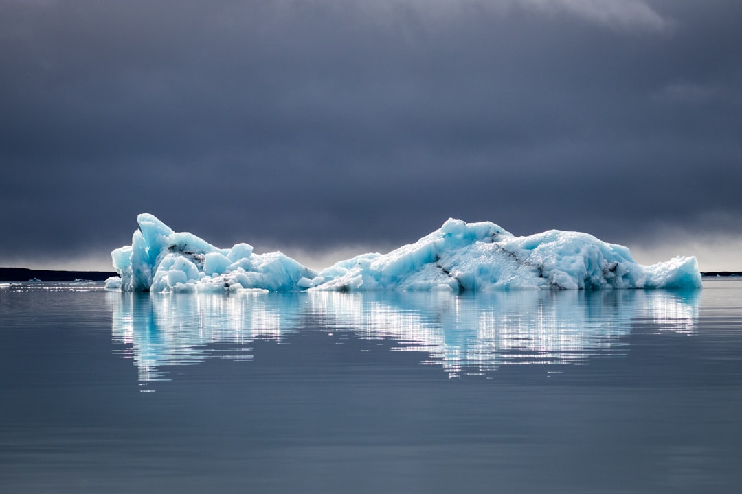
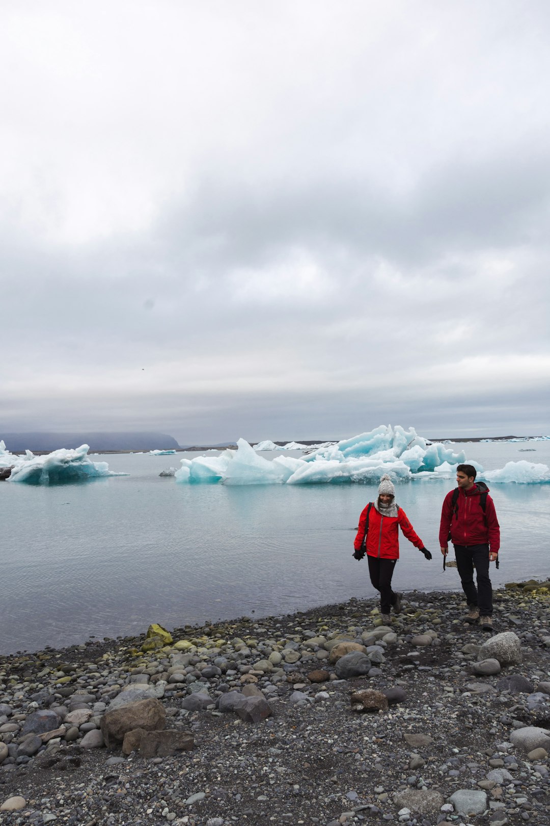
Jökulsárlón
32 km away from Jokulsarlon
Read the Travel guide View on Google Maps
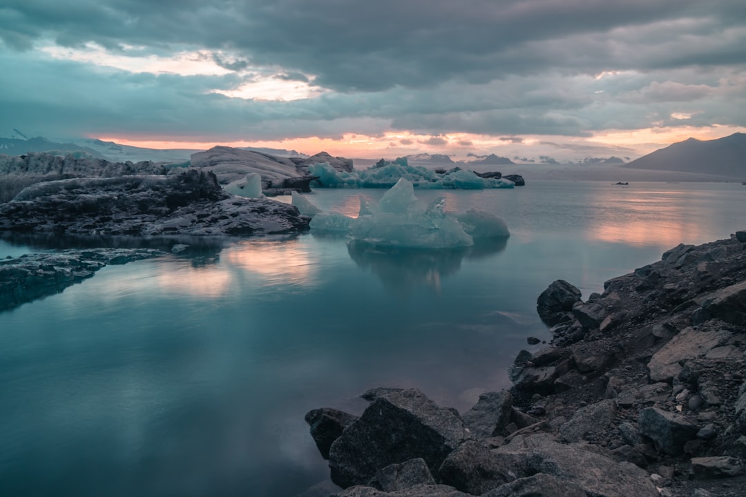
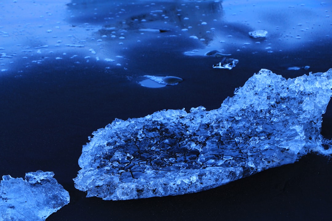
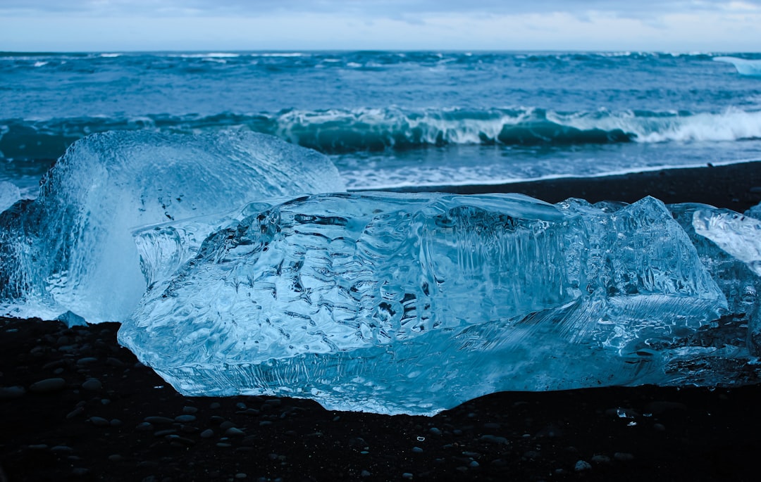
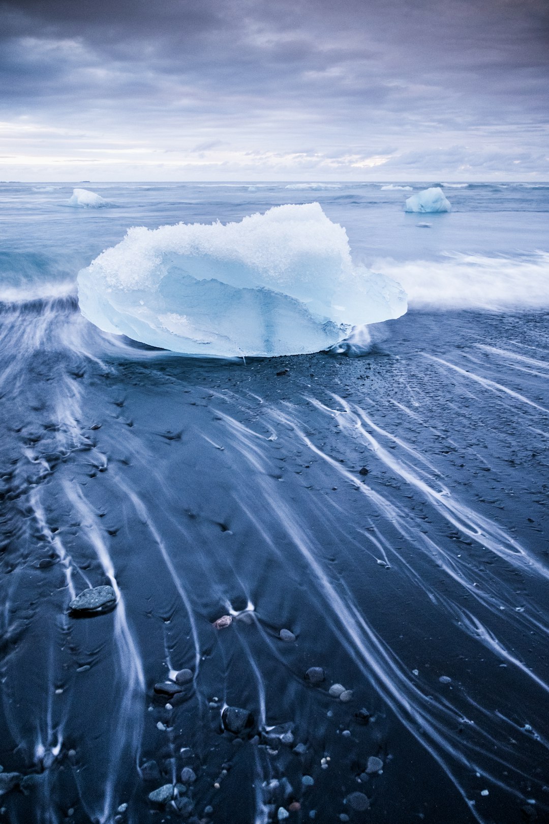
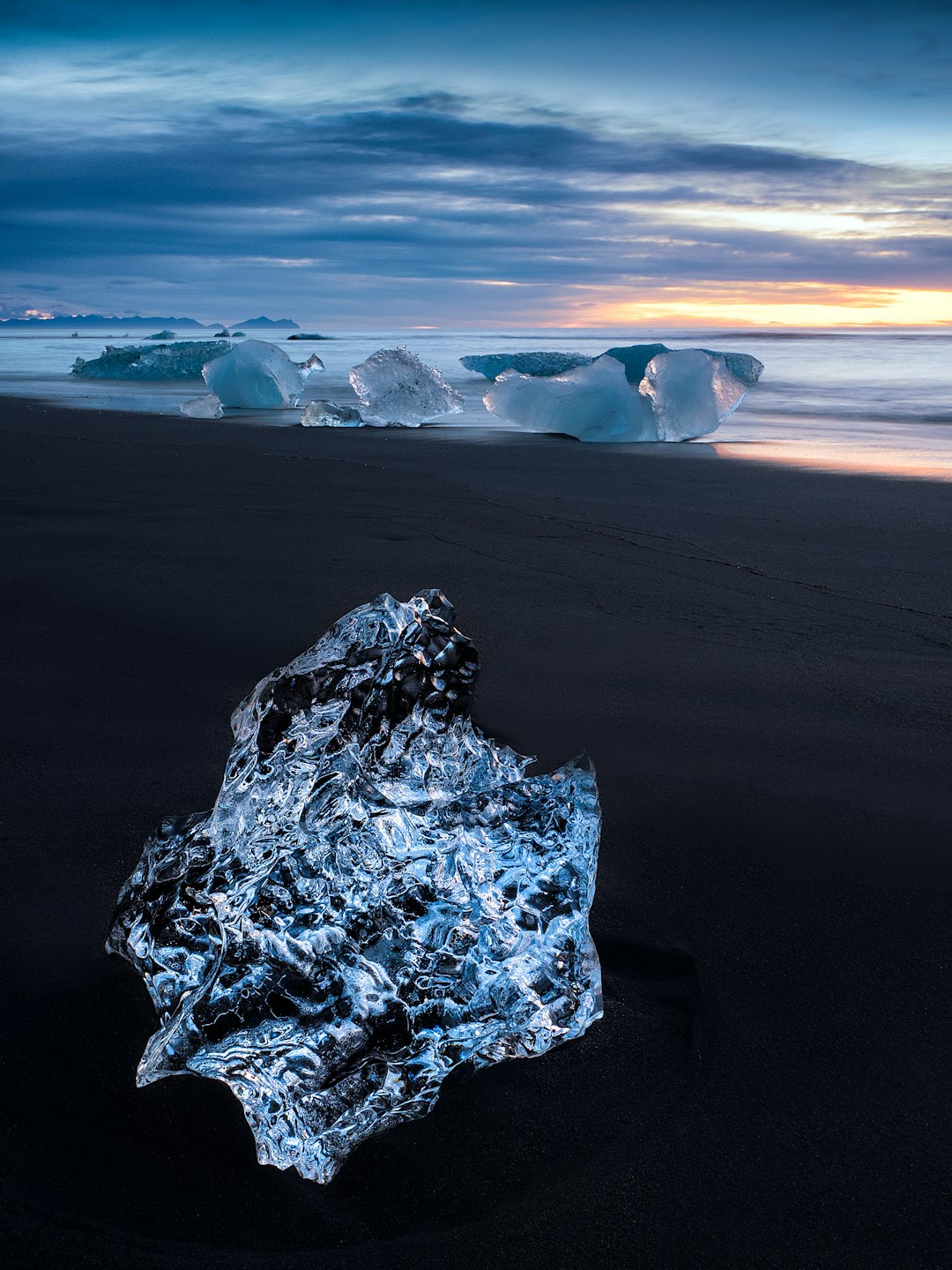
Diamond Beach
33 km away from Jokulsarlon
Read the Travel guide View on Google Maps
Ice Lagoon Zodiac Boat Tours
33 km away from Jokulsarlon
Read the Travel guide View on Google Maps
Þjóðvegur
34 km away from Jokulsarlon
Read the Travel guide View on Google Maps
785
43 km away from Jokulsarlon
Read the Travel guide View on Google Maps
Kvíárjökull
52 km away from Jokulsarlon
Read the Travel guide View on Google Maps
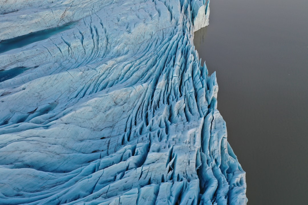
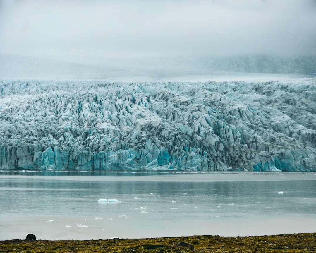
Vatnajokull
57 km away from Jokulsarlon
Read the Travel guide View on Google Maps
Skaftafellsjökull
61 km away from Jokulsarlon
Read the Travel guide View on Google Maps
Vatnajökull National Park
86 km away from Jokulsarlon
Read the Travel guide View on Google Maps
Book your Travel Experience in Jokulsarlon
Discover the best tours and activities in Jokulsarlon and book your travel experience today with our booking partners
Learn More about Jokulsarlon
Find Hotels in Jokulsarlon
Discover the best hotels around Jokulsarlon, Iceland and book your stay today with our booking partner booking.com