Travel Guide of Cilegon in Indonesia by Influencers and Travelers
Cilegon is a major coastal industrial city in Banten province, Indonesia, covering 175.51 km². It is located on the island of Java. The city had a population of 374,464 at the 2010 Census and 434,896 at the 2020 Census.
Download the Travel Map of Indonesia on Google Maps here
The Best Things to Do and Visit in Cilegon
TRAVELERS TOP 10 :
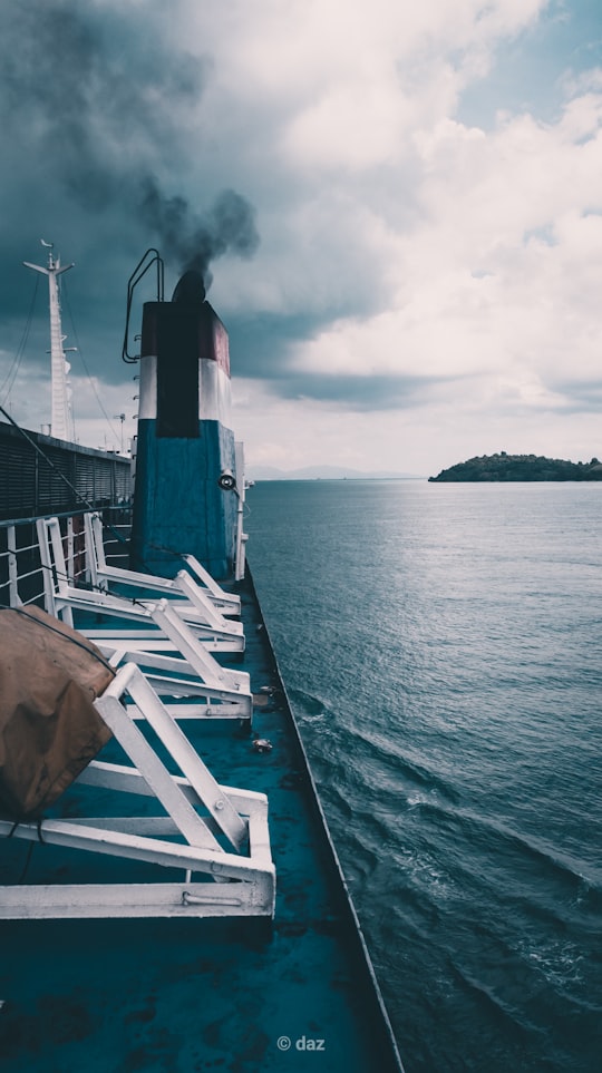
1 - Merak Sea Port
8 km away
Banten Bay also known as Bantam Bay is a bay in Banten province, near the north-west tip of Java, Indonesia. It is part of the Java Sea and has a total water surface of approximately 150 square kilometres and an average depth of seven metres.
Learn more Book this experience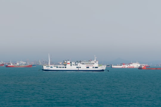
2 - Merak
8 km away
Merak temple, or locally known as Candi Merak, is a 10th-century Javanese Shivaist Hindu temple complex located in Karangnongko village, in Klaten Regency, northwest from Klaten town, Central Java, on southeastern slopes of Mount Merapi.
Learn more Book this experience
3 - Anyer
15 km away
Anyer, also known as Anjer or Angier, is a coastal town in Banten, formerly West Java, Indonesia, 82 miles west of Jakarta and 15 kilometers south of Merak. A significant coastal town late 18th-century, Anyer faces the Sunda Strait.
Learn more
4 - Sunda Strait
17 km away
The Sunda Strait is the strait between the Indonesian islands of Java and Sumatra. It connects the Java Sea with the Indian Ocean.
View on Google Maps Book this experience
5 - Selat Sunda
17 km away
The Sunda Strait is the strait between the Indonesian islands of Java and Sumatra. It connects the Java Sea to the Indian Ocean. The name came from Sunda Kingdom, a kingdom ruling the west part of Java.
Learn more Book this experience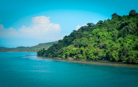
6 - Wisata Pantai Serang
18 km away
Sangiang is an island midway in the Sunda Strait between the Indonesian islands of Sumatra and Java. Administratively it is a part of Banten province of western Java.
View on Google Maps Book this experience
7 - Serang
20 km away
Serang municipality is the capital of Banten province and was formerly also the administrative center of Serang Regency in Indonesia. The city is located towards the north of Banten province, on the island of Java. Before Banten province was formed in 2000 Serang was part of West Java province. Serang has a tropical rainforest climate, with no dry season month. It faces the Java Sea, which is home to Thousand Islands.
Learn more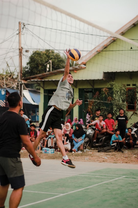
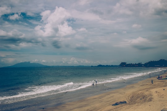
8 - Batu Bolong Beach
26 km away
Karang Bolong is located on the coast of Anyer, West Java, Indonesia. The name Karang Bolong means Rock with a Hole. The mountain was created by frozen lava, formed during the eruption of Mount Krakatau.
View on Google Maps Book this experience
9 - Pelabuhan Bakauheni
33 km away
Bakauheni is a town in the southern part of the province of Lampung, Indonesia and is the largest and busiest port in the province, and also one of the busiest ports in Indonesia.
Learn more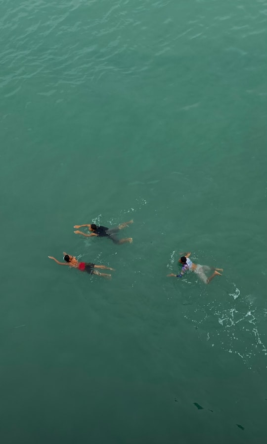
10 - Lempuyang
37 km away
Learn more
Disover the best Instagram Spots around Cilegon here
Book Tours and Activities in Cilegon
Discover the best tours and activities around Cilegon, Indonesia and book your travel experience today with our booking partners
Pictures and Stories of Cilegon from Influencers
2 pictures of Cilegon from Fadhlurrohman Ammar, Ahmad Faiz, and other travelers
Plan your trip in Cilegon with AI 🤖 🗺
Roadtrips.ai is a AI powered trip planner that you can use to generate a customized trip itinerary for any destination in Indonesia in just one clickJust write your activities preferences, budget and number of days travelling and our artificial intelligence will do the rest for you
👉 Use the AI Trip Planner
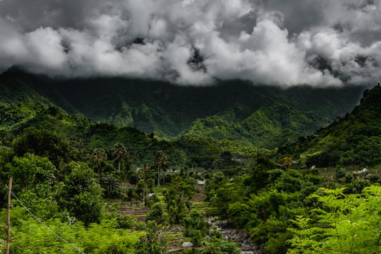
Why should you visit Cilegon ?
Travel to Cilegon if you like:
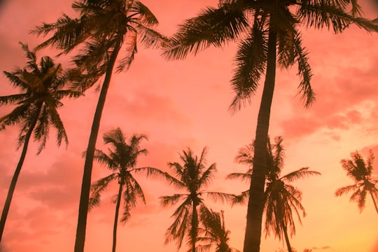
🌴 TropicsWhere to Stay in Cilegon
Discover the best hotels around Cilegon, Indonesia and book your stay today with our booking partner booking.com
More Travel spots to explore around Cilegon
Click on the pictures to learn more about the places and to get directions
Discover more travel spots to explore around Cilegon
Natural landscape spots 🏞️ River spots 🌴 Tropics spots 🏞️ Waterway spotsTravel map of Cilegon
Explore popular touristic places around Cilegon
Download On Google Maps 🗺️📲