The Best Town Photo Spots around Banten in Indonesia
Explore Town pictures of Banten with the travel spots on a map
Download the Travel Map of Indonesia on Google Maps here
10 Town Spots of Banten on a Map
Pictures of Town on the interacive map of Banten
Download On Google Maps 🗺️📲Town Spots and Pictures around Banten
Discover popular destinations in Banten with their travel guides
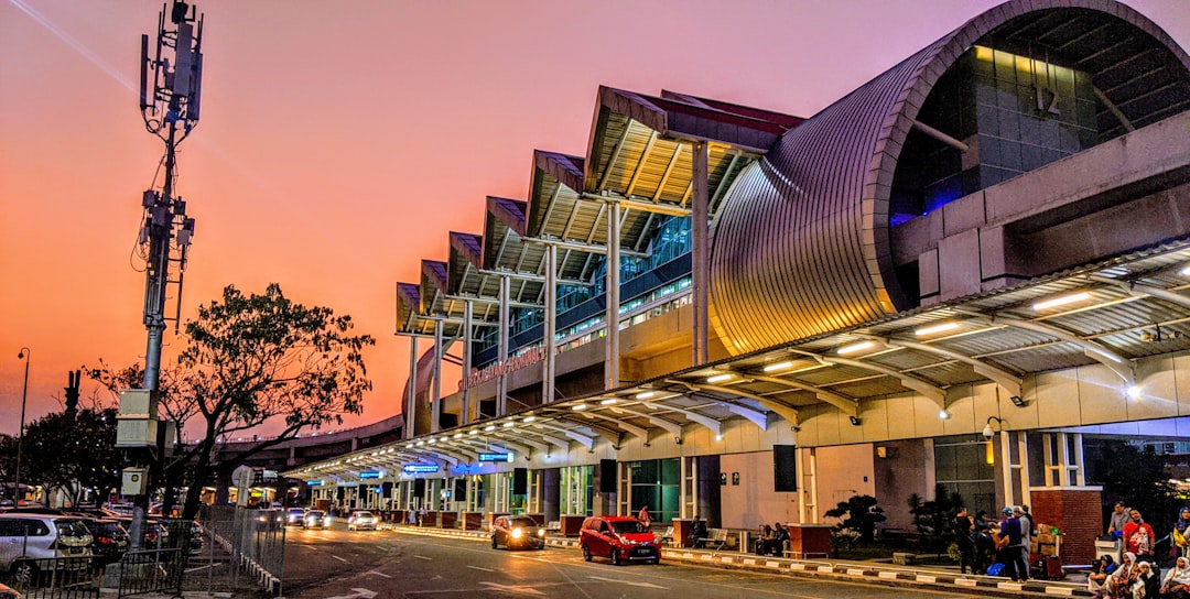
Soekarno-Hatta Airport
Read the Travel guide View on Google Maps
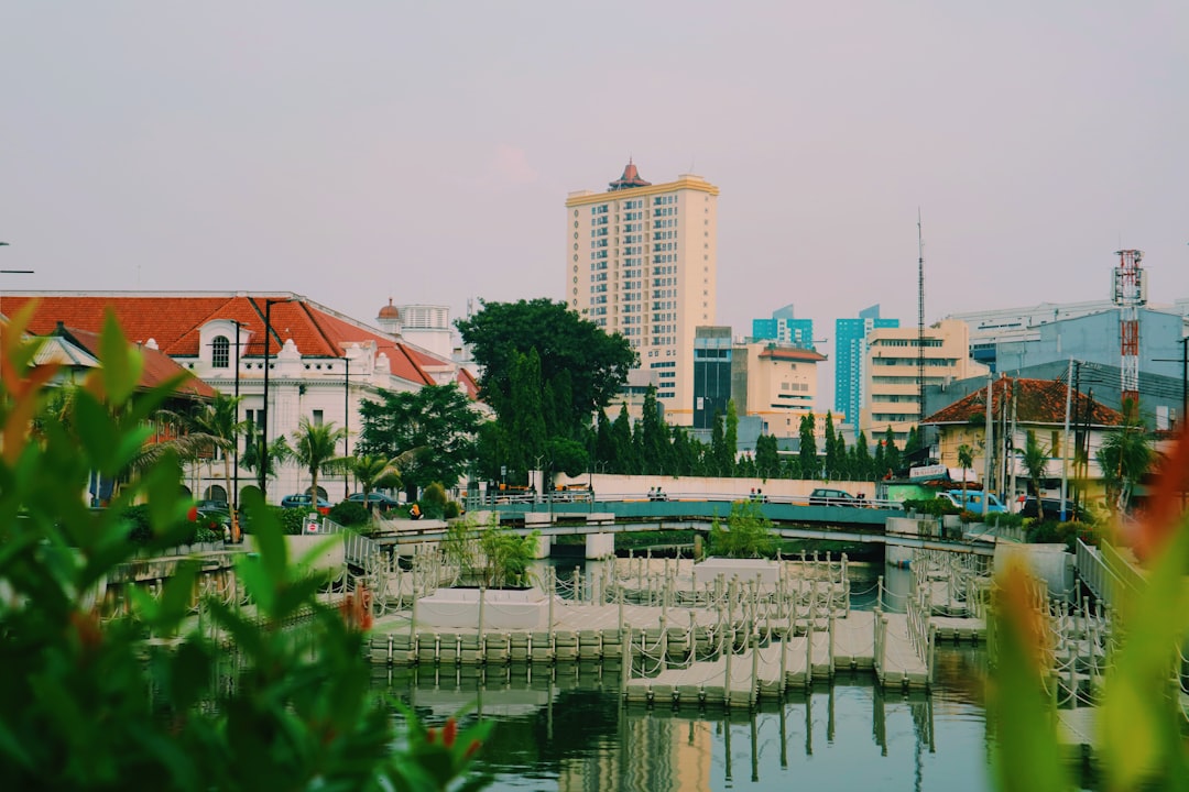
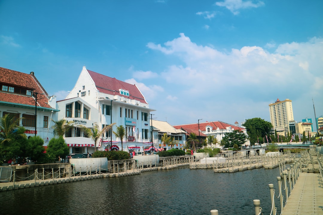
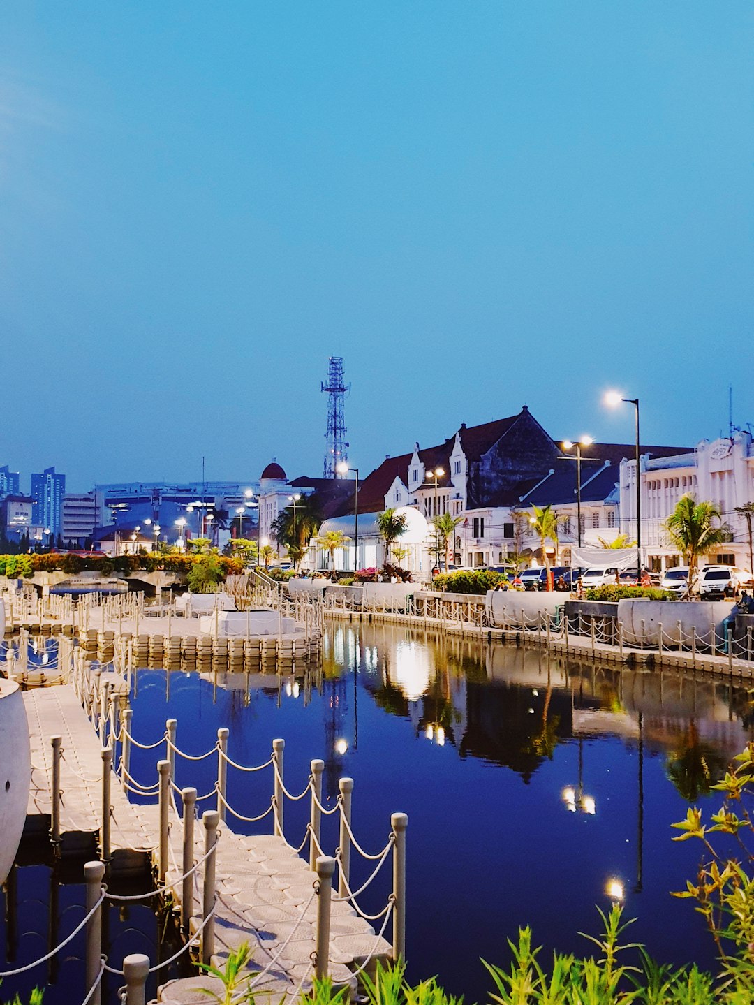
Kota Tua
18 km away from Banten
Read the Travel guide View on Google Maps
Jl. Kali Besar Tim. No.21
18 km away from Banten
Read the Travel guide View on Google Maps
Jl. Lada Dalam No.127
18 km away from Banten
Read the Travel guide View on Google Maps
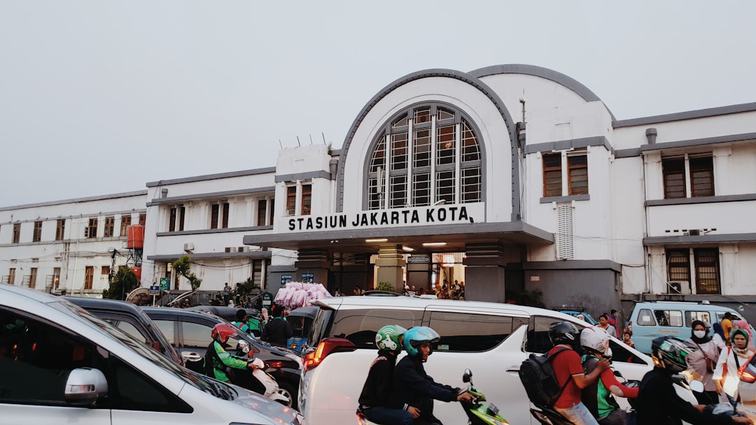
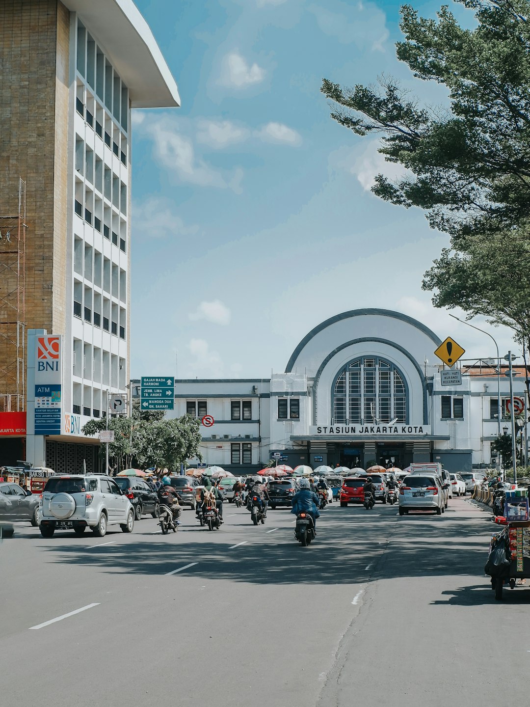
Stasiun Jakarta Kota
18 km away from Banten
Read the Travel guide View on Google Maps
Senayan
21 km away from Banten
Read the Travel guide View on Google Maps
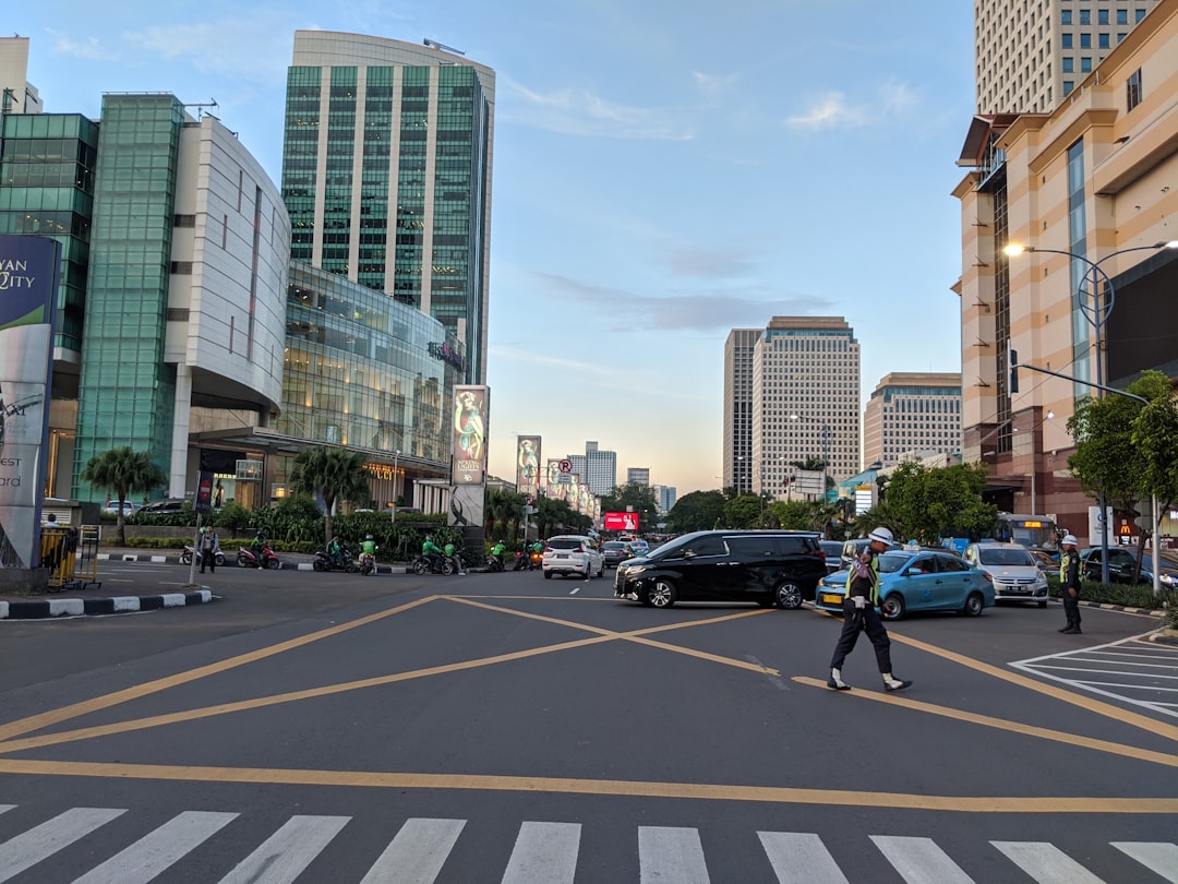
Jakarta
23 km away from Banten
Read the Travel guide View on Google Maps

Halte Lapangan Ros
25 km away from Banten
Read the Travel guide View on Google Maps
Tebet Timur
25 km away from Banten
Read the Travel guide View on Google Maps
Stasiun Bogor Paledang
54 km away from Banten
Read the Travel guide View on Google Maps
Book your Travel Experience in Banten
Discover the best tours and activities in Banten and book your travel experience today with our booking partners
Learn More about Banten
Find Hotels in Banten
Discover the best hotels around Banten, Indonesia and book your stay today with our booking partner booking.com