Travel Guide of Samagaun in Nepal by Influencers and Travelers
Samagaun is a village development committee in Gorkha District in the Gandaki Zone of northern-central Nepal. At the time of the 1991 Nepal census it had a population of 665 and had 179 houses in the village.
The Best Things to Do and Visit in Samagaun
TRAVELERS TOP 5 :
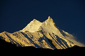
1 - Manaslu
11 km away
Manaslu is the eighth-highest mountain in the world at 8,163 metres above sea level. It is in the Mansiri Himal, part of the Nepalese Himalayas, in the west-central part of Nepal.
Learn more Book this experience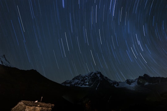
2 - Mansiri Himal
11 km away
Mansiri Himal is a small, high subrange of the Himalayas in north-central Nepal, about 100 km northwest of Kathmandu. The Marsyangdi River separates the Mansiri from the Annapurnas to the southwest, then an upper tributary Dudh Khola separates Peri Himal to the northwest.
View on Google Maps Book this experience
3 - Trekking | Manaslu
Manaslu Larke Pass Trek, or Manaslu Round Trek, is the most challenging and untouched trail in the western part of Nepal, Trekking here is generally adored and flawless mountain views.
Book this experience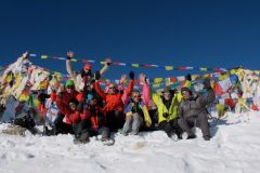
4 - Ghale Gaun
39 km away
Baseri is a village in Dhading District in the Bagmati Zone of central Nepal. At the time of the 1991 Nepal census it had a population of 6264 and had 1196 houses in it. It is 60 kilometers away from the district headquarter Dhadingbesi. The main occupation of the people here is agriculture.
Learn more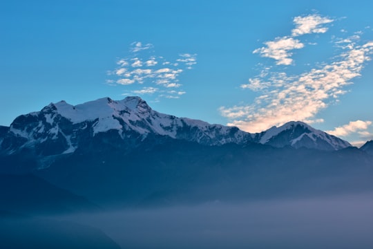
5 - Lamjung
41 km away
Simpani is a village development committee in Lamjung District in the Gandaki Zone of northern-central Nepal. At the time of the 1991 Nepal census it had a population of 3185 people living in 607 individual households.
Learn more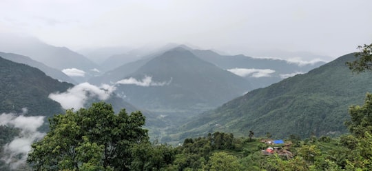
Disover the best Instagram Spots around Samagaun here
Book Tours and Activities in Samagaun
Discover the best tours and activities around Samagaun, Nepal and book your travel experience today with our booking partners
Plan your trip in Samagaun with AI 🤖 🗺
Roadtrips.ai is a AI powered trip planner that you can use to generate a customized trip itinerary for any destination in Nepal in just one clickJust write your activities preferences, budget and number of days travelling and our artificial intelligence will do the rest for you
👉 Use the AI Trip Planner
Where to Stay in Samagaun
Discover the best hotels around Samagaun, Nepal and book your stay today with our booking partner booking.com
More Travel spots to explore around Samagaun
Click on the pictures to learn more about the places and to get directions
Discover more travel spots to explore around Samagaun
⛰️ Mountain range spotsTravel map of Samagaun
Explore popular touristic places around Samagaun