Travel Guide of Stranda in Norway by Influencers and Travelers
Stranda is a municipality in Møre og Romsdal county, Norway. It is part of the Sunnmøre region. The administrative centre of the municipality is the village of Stranda. Stranda consists of three smaller villages and one larger central village. The smaller villages are Hellesylt, Geiranger, and Liabygda. The central village, Stranda, has about 2,600 inhabitants.
Download the Travel Map of Norway on Google Maps here
The Best Things to Do and Visit in Stranda
TRAVELERS TOP 10 :
1 - Hamnøy
10 km away
Hamnøy or Hamnøya is a small fishing village in Moskenes Municipality in Nordland county, Norway. It is located on the eastern side of the island of Moskenesøya, about 1.5 kilometres northeast of the village of Reine, along the Vestfjorden.
Learn more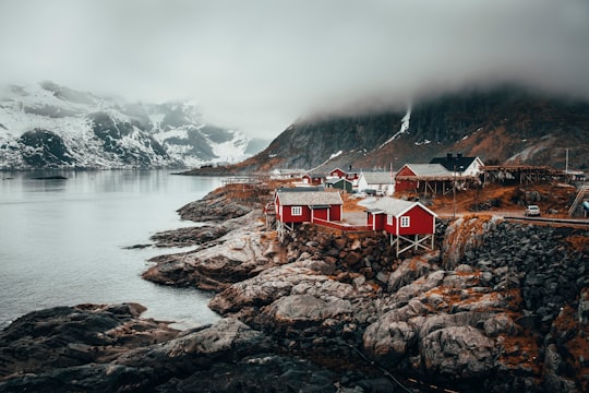
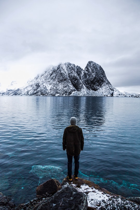
2 - Reine
11 km away
Reine is the administrative centre of Moskenes Municipality in Nordland county, Norway. The fishing village is located on the island of Moskenesøya in the Lofoten archipelago, above the Arctic Circle, about 300 kilometres southwest of the town of Tromsø.
Learn more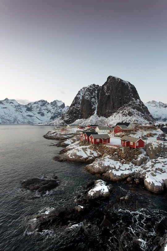
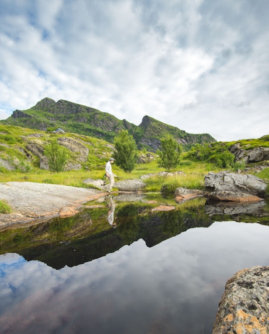
3 - Munkebu
11 km away
Hermannsdalstinden is the highest mountain on the island of Moskenesøya. It is located in the Lofoten archipelago in the municipality of Moskenes in Nordland county, Norway.
Learn more Book this experience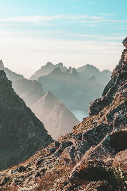
4 - Fredvang
11 km away
Fredvang is a village in Flakstad Municipality in Nordland county, Norway. The village is located on the island of Moskenesøya in the Lofoten archipelago.
Learn more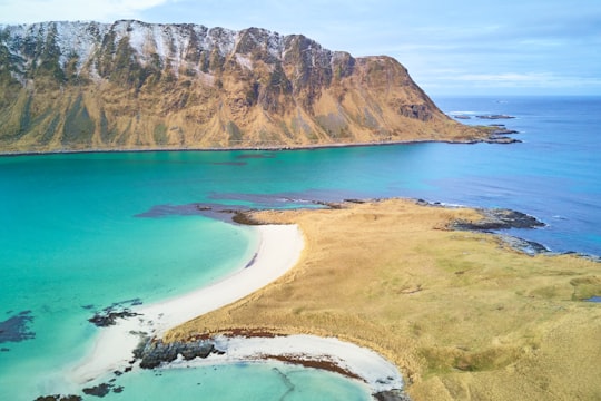
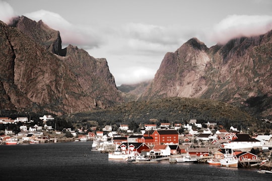
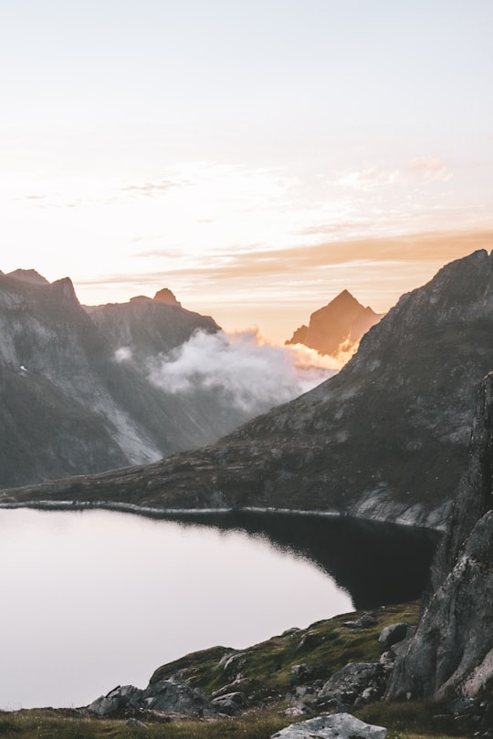
5 - Geirangerfjord
12 km away
The Geiranger Fjord is a fjord in the Sunnmøre region of Møre og Romsdal county, Norway. It is located entirely in the Stranda Municipality. It is a 15-kilometre -long branch off the Sunnylvsfjorden, which is a branch off the Storfjorden. The small village of Geiranger is located at the end of the fjord where the Geirangelva river empties into it.
Learn more Book this experience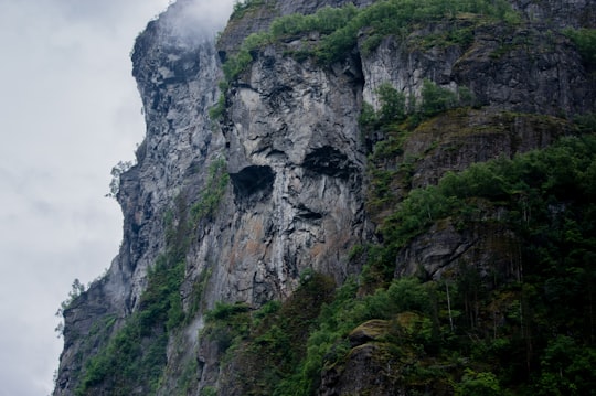

6 - Geirangerfjord, Seven Sisters Waterfall
12 km away
The Seven Sisters is the 39th tallest waterfall in Norway. The 410-metre tall waterfall consists of seven separate streams, and the tallest of the seven has a free fall that measures 250 metres.
View on Google Maps Book this experience
7 - Moskenes
14 km away
Moskenesøya is an island at the southern end of the Lofoten archipelago in Nordland county, Norway. The 186-square-kilometre island is shared between Moskenes Municipality and Flakstad Municipality.
Learn more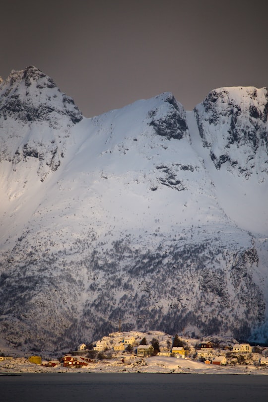
8 - Moskenes Municipality
14 km away
Å is a village in Moskenes Municipality in Nordland county, Norway. It is located about 2 kilometres southwest of the village of Sørvågen on the island of Moskenesøya, towards the southern end of the Lofoten archipelago.
Learn more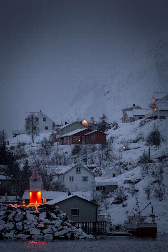
9 - Ramberg
15 km away
Ramberg is the administrative centre of Flakstad Municipality in Nordland county, Norway. The village is located on the island of Flakstadøya in the Lofoten archipelago. It has approximately 350 inhabitants. The European route E10 highway passes through Ramberg.
Learn more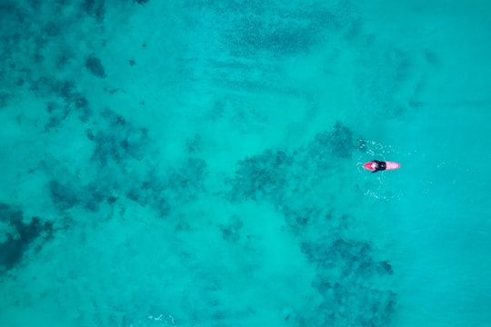

10 - Dalsnibba
23 km away
Dalsnibba is a mountain in Stranda Municipality in Møre og Romsdal county, Norway. It is located at the end of the Geiranger valley, about 7 km south of the village of Geiranger and the Geirangerfjorden.
Learn more Book this experience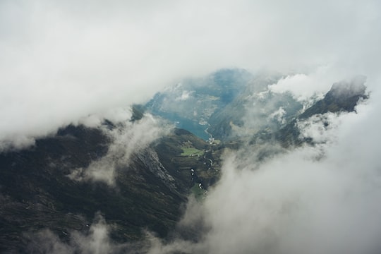

11 - Napp
23 km away
Napp is a small fishing village in Flakstad Municipality in Nordland county, Norway. The village is located on the northern part of the island of Flakstadøya in the Lofoten archipelago.
Learn more
Disover the best Instagram Spots around Stranda here
Book Tours and Activities in Stranda
Discover the best tours and activities around Stranda, Norway and book your travel experience today with our booking partners
Plan your trip in Stranda with AI 🤖 🗺
Roadtrips.ai is a AI powered trip planner that you can use to generate a customized trip itinerary for any destination in Norway in just one clickJust write your activities preferences, budget and number of days travelling and our artificial intelligence will do the rest for you
👉 Use the AI Trip Planner
Where to Stay in Stranda
Discover the best hotels around Stranda, Norway and book your stay today with our booking partner booking.com
More Travel spots to explore around Stranda
Click on the pictures to learn more about the places and to get directions
Discover more travel spots to explore around Stranda
⛰️ Hill station spots 🏞️ Waterfall spots 🏞️ Waterway spotsTravel map of Stranda
Explore popular touristic places around Stranda
Download On Google Maps 🗺️📲