Travel Guide of Sigriswil in Switzerland by Influencers and Travelers
Sigriswil is a municipality in the administrative district of Thun in the canton of Bern in Switzerland.
Download the Travel Map of Switzerland on Google Maps here
The Best Things to Do and Visit in Sigriswil
TRAVELERS TOP 10 :
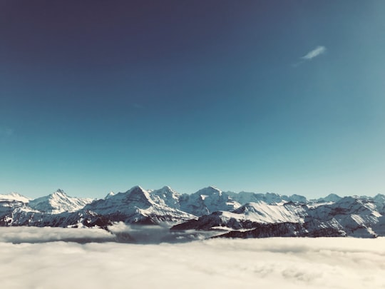
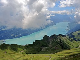
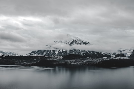
1 - Niederhorn
The Niederhorn is a peak of the Emmental Alps in the Bernese Oberland near Beatenberg. It is the peak farthest west in the Güggis ridge. From its summit Lake Thun and the entire Bernese Alps can be seen. An aerial cable car to the summit was completed in 1946 with a restaurant and children's playground at the top.
Learn more Book this experience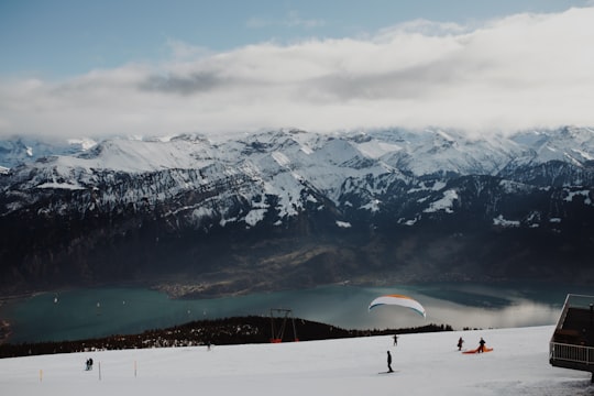
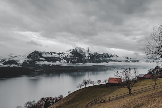
2 - Lake Thun
Lake Thun is an Alpine lake in the Bernese Oberland in Switzerland named after the city of Thun, on its northern shore. The lake was created after the last glacial period.
Learn more Book this experience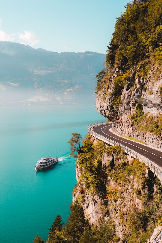
3 - Paragliding in Interlaken
12 km away
Enjoy spectacular views of mountain panorama and lakes as you glide from one of the peaks down to the centre of Interlaken, in the heart of the Bernese Oberland, Switzerland. Discover the Interlaken Region differently, from the air, just like a bird....
Book this experience
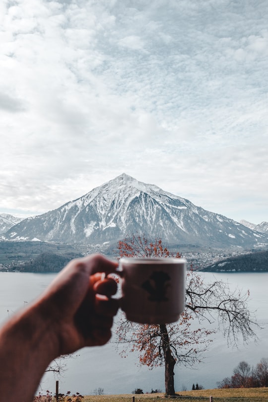
4 - Niesen
9 km away
The Niesen is a mountain peak of the Bernese Alps in the Canton of Bern, Switzerland. The summit of the mountain is 2,362 metres in elevation.
Learn more Book this experience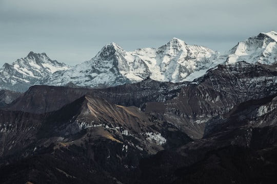
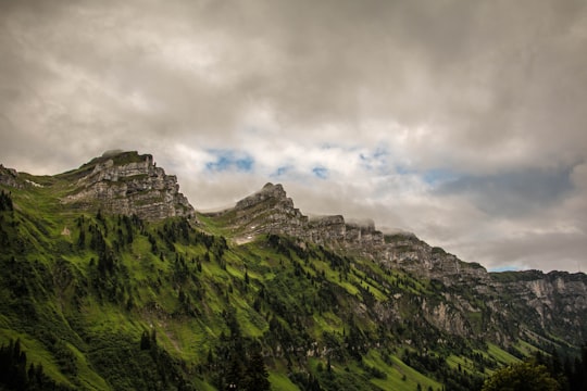
5 - Sigriswiler Rothorn
The Sigriswiler Rothorn is a mountain of the Emmental Alps, located north of Sigriswil in the canton of Bern. With an elevation of 2,051 metres above sea level, it is the culminating point of the chain named Sigriswilergrat.
Learn more Book this experience
6 - Rafting in Thun
13 km away
Embark on a wonderful rafting trip on the clear water of river Aare - either from Thun to Bern or from Worblaufen to Wohlensee. This rafting trip is perfect for a relaxing and fun outing with your family or friends! You will not need anything ex...
Book this experience
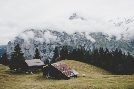
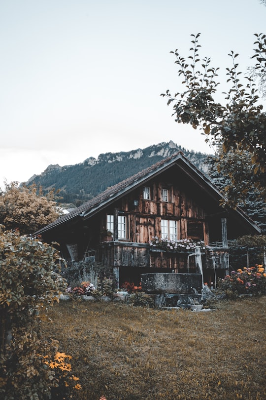
7 - Schwanden (Sigriswil)
Sigriswil is a municipality in the administrative district of Thun in the canton of Bern in Switzerland.
Learn more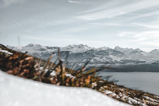
8 - Weissenau Nature Reserve
10 km away
Learn more
9 - Skydiving in Interlaken
12 km away
Experience a breathtaking moment surrounded by some of the most exquisite landscapes in the world, making it an all-year-round activity! It all starts with an amazing 15-20 minute scenic flight. As the aircraft climbs to altitude you will experi...
Book this experience
10 - Interlaken
12 km away
Interlaken is a Swiss town and municipality in the Interlaken-Oberhasli administrative district in the canton of Bern. It is an important and well-known tourist destination in the Bernese Highlands region of the Swiss Alps, and the main transport gateway to the mountains and lakes of that region.
Learn more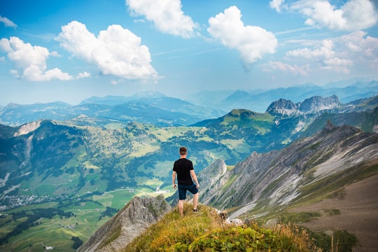
11 - Augstmatthorn
17 km away
The Augstmatthorn is a mountain of the Emmental Alps, overlooking Lake Brienz in the Bernese Oberland. The largely forested land from the top of the mountain southwards to the lake has been identified by BirdLife International as a 15,900 ha Important Bird Area.
Learn more Book this experience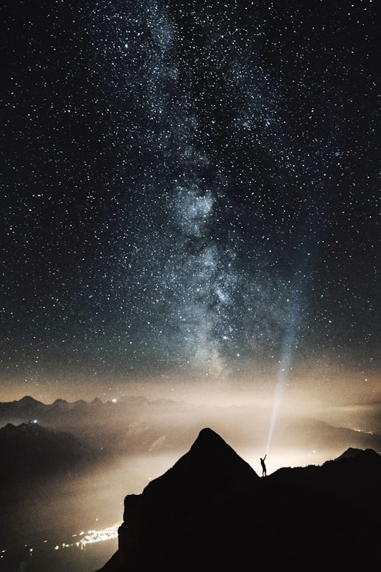
12 - Stand up Paddle in Interlaken
14 km away
Highlights - Scenic SUP adventure on beautiful Lake Brienz- Idyllic cliffs & hidden beaches to discover along the way- View of the historic Ringgenberg Castle from your SUP- Suitable for all skill levels & experience- Expert guide providing v...
Book this experience
13 - Lake Brienz
19 km away
Lake Brienz is a lake just north of the Alps, in the canton of Berne in Switzerland. It has a length of about 14 kilometres, a width of 2.8 kilometres and a maximum depth of 260 metres.
Learn more Book this experience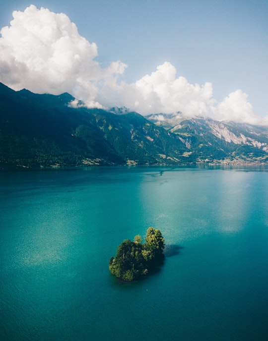
14 - Staubbach Falls
20 km away
The Staubbach Fall is a waterfall in Switzerland, located just west above Lauterbrunnen in the Bernese Highlands. The waterfall drops 297 metres from a hanging valley that ends in overhanging cliffs above the Weisse Lütschine.
Learn more Book this experience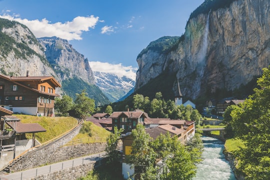

15 - Kayaking in Thun
13 km away
If you're looking for a relaxing time on the river Aare and its turquoise waters, then go kayaking for a few hours in the middle of lush vegetation. Do as the locals do and drift down the river from Thun to Berne, the Swiss capital! Kayaks ...
Book this experience
16 - Gurnigel Pass
20 km away
Gurnigel Pass is a high mountain pass in the canton of Bern in Switzerland. It connects Riggisberg and Zollhaus. The culminating point of the road lies on the eastern flank of the Selibüel. The pass is the venue for an annual cross-country skiing race.
Learn more Book this experience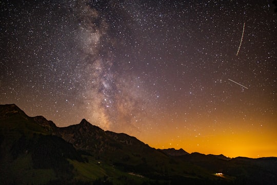
17 - Blausee
21 km away
Blausee is a small lake, in Switzerland, in the Kander valley above Kandergrund at 887 metres, near the river Kander. Administratively, it belongs to the Bernese Oberland. The lake has an area of 0.64 hectares. The lake can be reached by bus from the train stations of Frutigen or Kandersteg. It is a popular tourist destination.
Learn more Book this experience
18 - Mürren
22 km away
Mürren is a traditional Walser mountain village in the Bernese Highlands of Switzerland, at an elevation of 1,638 metres above sea level and it cannot be reached by public road.
Learn more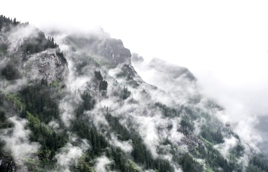
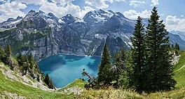
19 - Oeschinen Lake
24 km away
Oeschinen Lake is a lake in the Bernese Oberland, Switzerland, 4 kilometres east of Kandersteg in the Oeschinen valley. At an elevation of 1,578 metres, it has a surface area of 1.1147 square kilometres. Its maximum depth is 56 metres.
Learn more Book this experience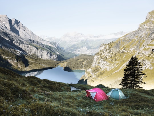
20 - Bachalpsee
24 km away
Bachalpsee or Bachsee is a lake with an area of 8.06 ha close to the First above Grindelwald in the Bernese Oberland, Switzerland. The lake, located at an elevation of 2,265 m, is split by a natural dam, the smaller part of the lake being 6 m lower. The lake is featured in Gmail as part of its mountain theme background.
Learn more Book this experience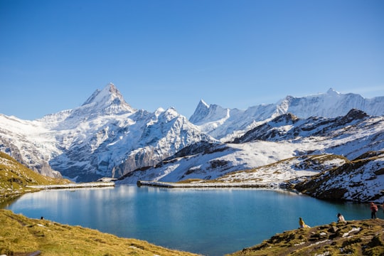

21 - Gimmelwald
24 km away
Gimmelwald is a small traffic free village in the Bernese Oberland in the Canton of Bern, Switzerland, and is located between Stechelberg and Mürren, at an elevation of 1363 meters.
Learn more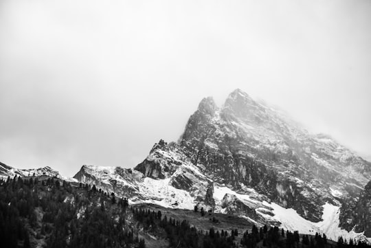
Disover the best Instagram Spots around Sigriswil here
Book Tours and Activities in Sigriswil
Discover the best tours and activities around Sigriswil, Switzerland and book your travel experience today with our booking partners
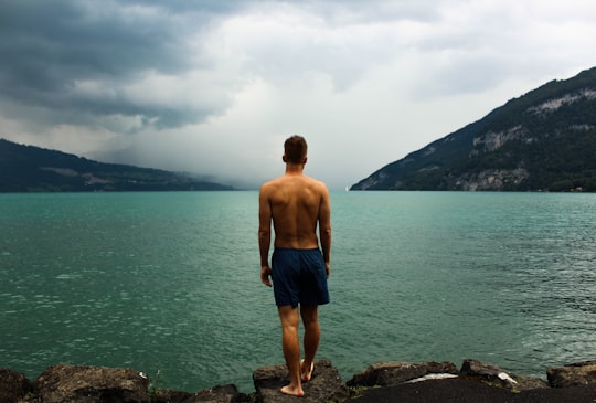
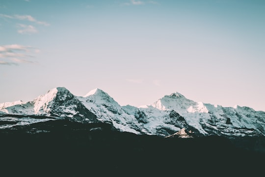
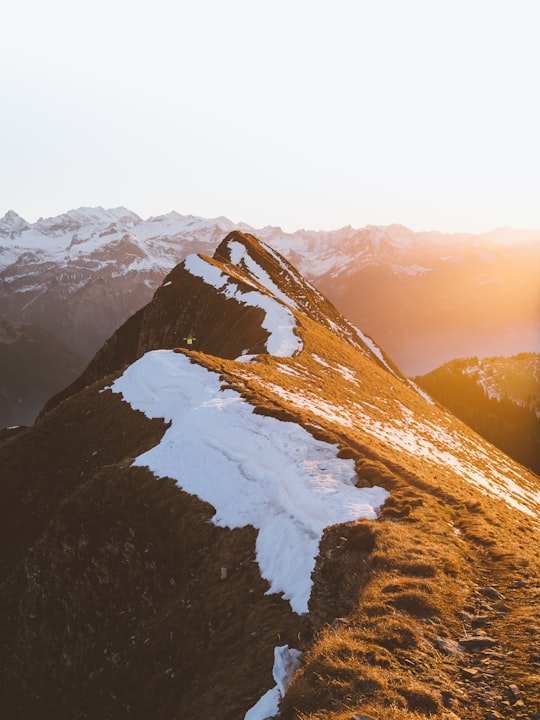
Pictures and Stories of Sigriswil from Influencers
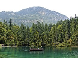
6 pictures of Sigriswil from Florian van Duyn, Silas Laenzlinger, and other travelers
Plan your trip in Sigriswil with AI 🤖 🗺
Roadtrips.ai is a AI powered trip planner that you can use to generate a customized trip itinerary for any destination in Switzerland in just one clickJust write your activities preferences, budget and number of days travelling and our artificial intelligence will do the rest for you
👉 Use the AI Trip Planner
Why should you visit Sigriswil ?
Travel to Sigriswil if you like:
🏘️ Cottage ⛰️ Mountain range ❄️ Glacier 🏞️ Loch 🏘️ Town ⛰️ Hill stationWhere to Stay in Sigriswil
Discover the best hotels around Sigriswil, Switzerland and book your stay today with our booking partner booking.com
More Travel spots to explore around Sigriswil
Click on the pictures to learn more about the places and to get directions
Discover more travel spots to explore around Sigriswil
⛰️ Hill station spots ⛰️ Mountain range spots ❄️ Glacier spots ⛰️ Hill spots 🏞️ Loch spots 🌲 Nature reserve spots 🏘️ Cottage spots 🏘️ Town spots ❄️ Glacial landform spotsTravel map of Sigriswil
Explore popular touristic places around Sigriswil
Download On Google Maps 🗺️📲