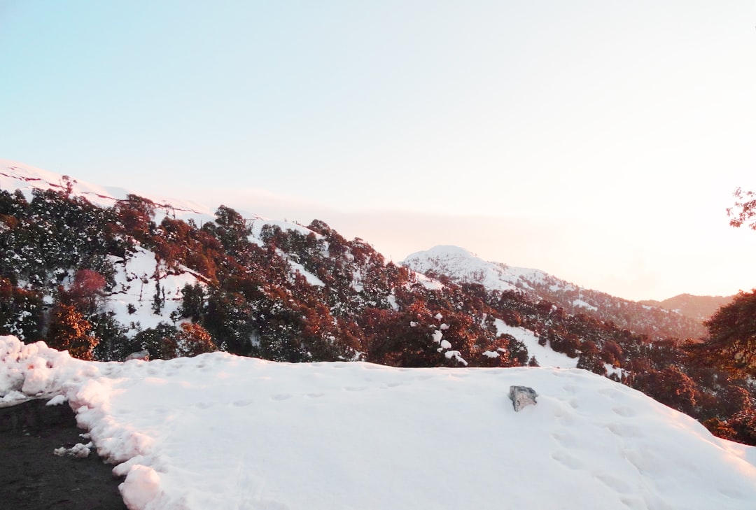
Travel Tips and Stories of Rajaji national park in India
Find inspiration with pictures, tips and stories of Rajaji national park from travelers sharing their experiences
Book your trip to Rajaji national park and remunerate who inspired you
Travel guide of Rajaji national park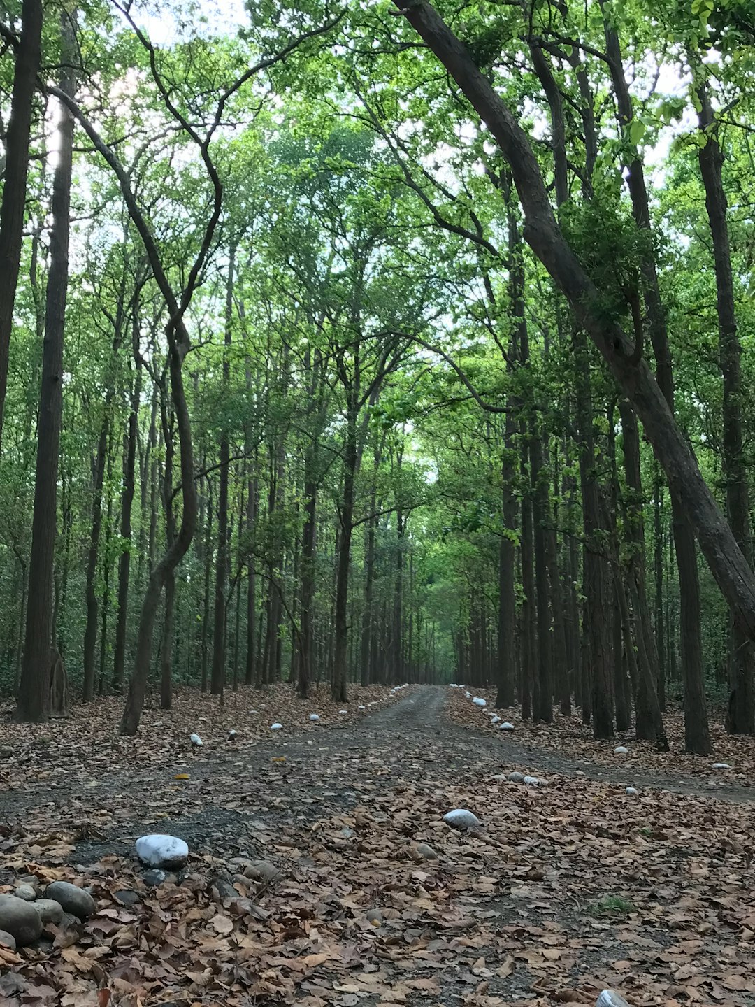
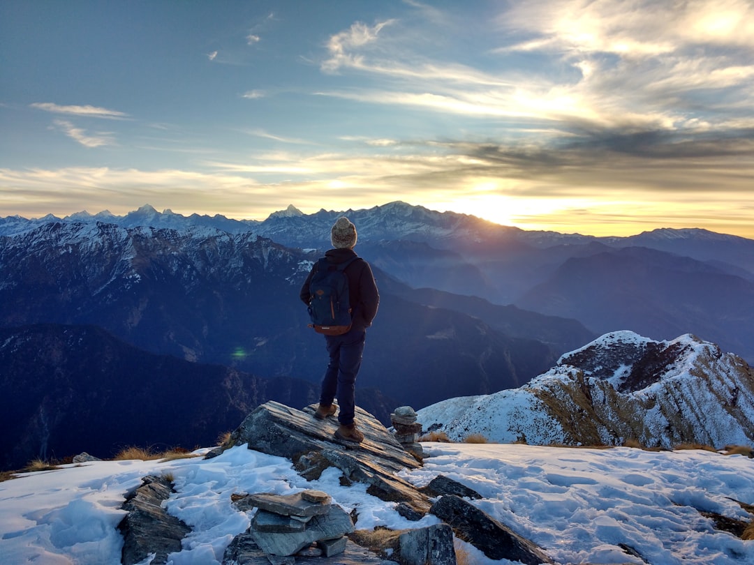
 Experienced by Ayaneshu Bhardwaj
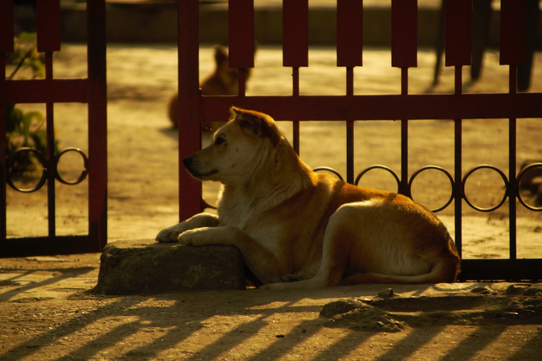
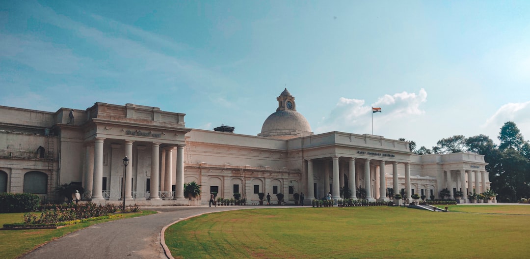
 Experienced by Suryaansh Maithani
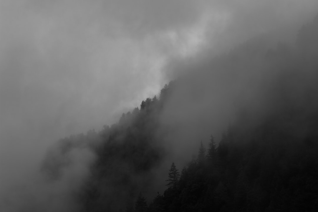
 Experienced by amitabh choudhury
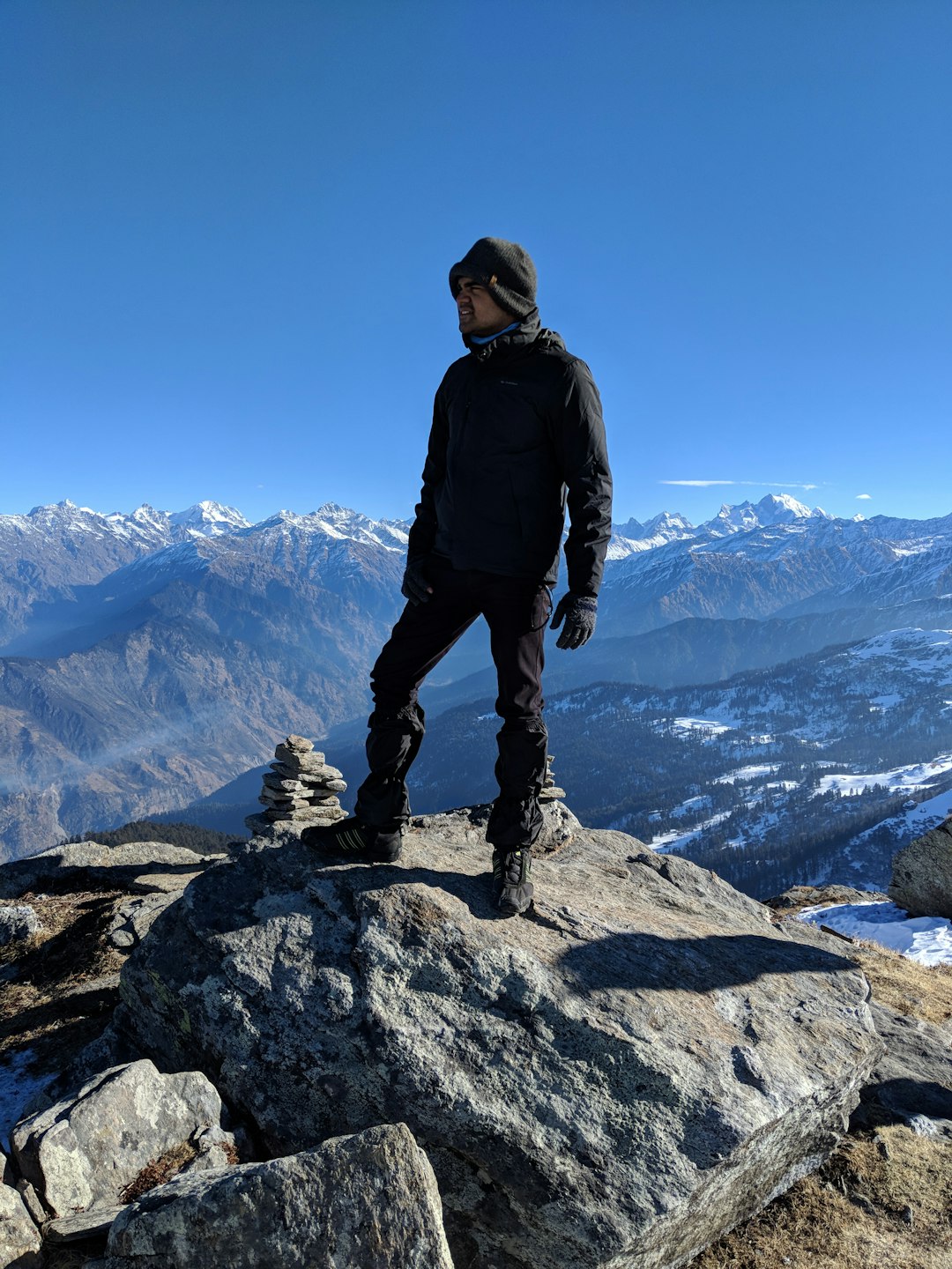
 Experienced by Amit Nayak
 Experienced by Madhur Chadha
 Experienced by Vishnu Prasad
 Experienced by akash selma
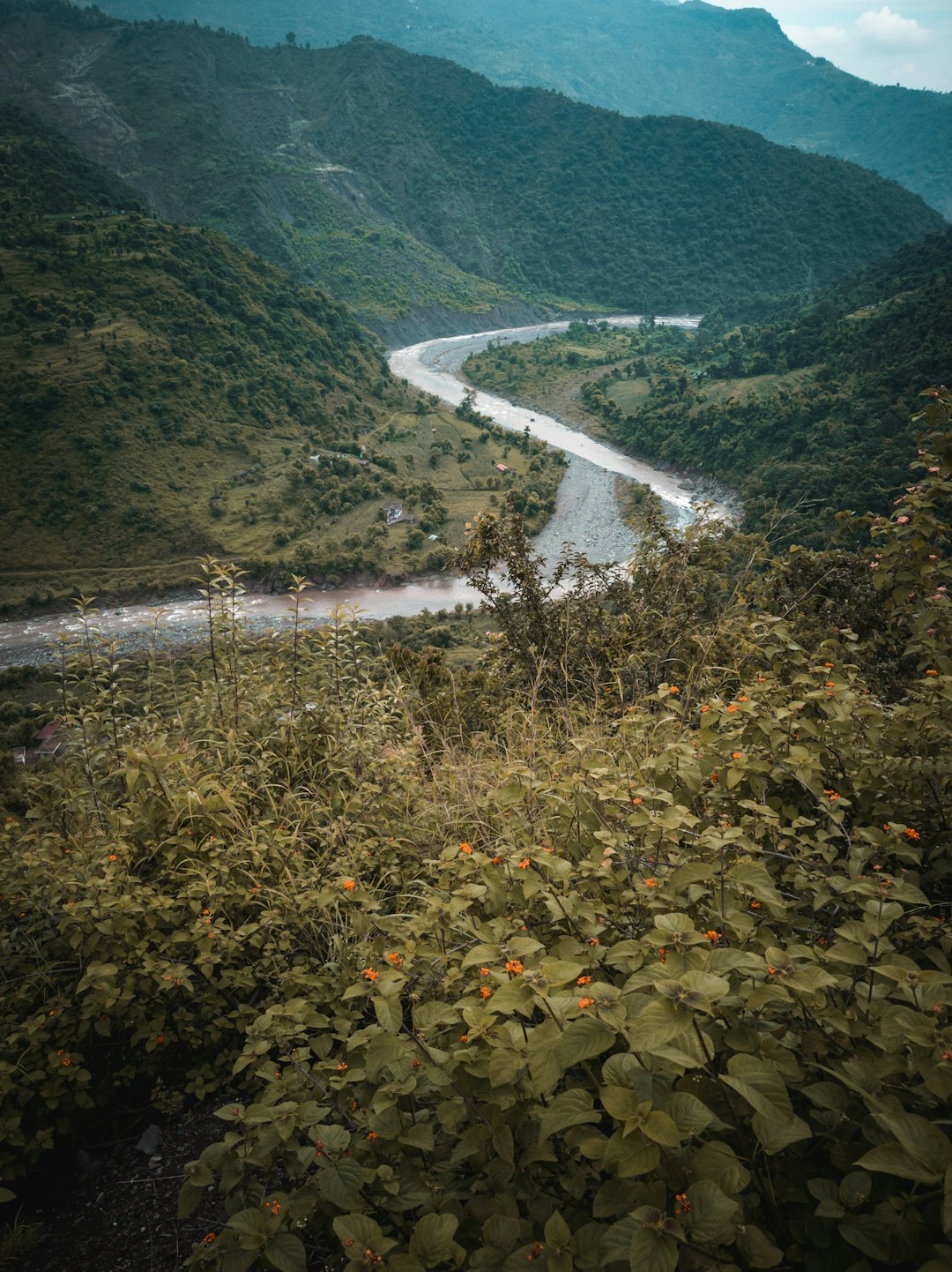
 Experienced by Anirudh Thakur
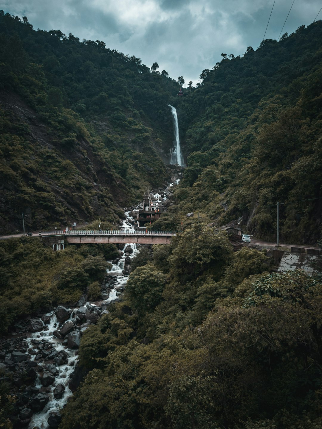
 Experienced by Parmjit Singh
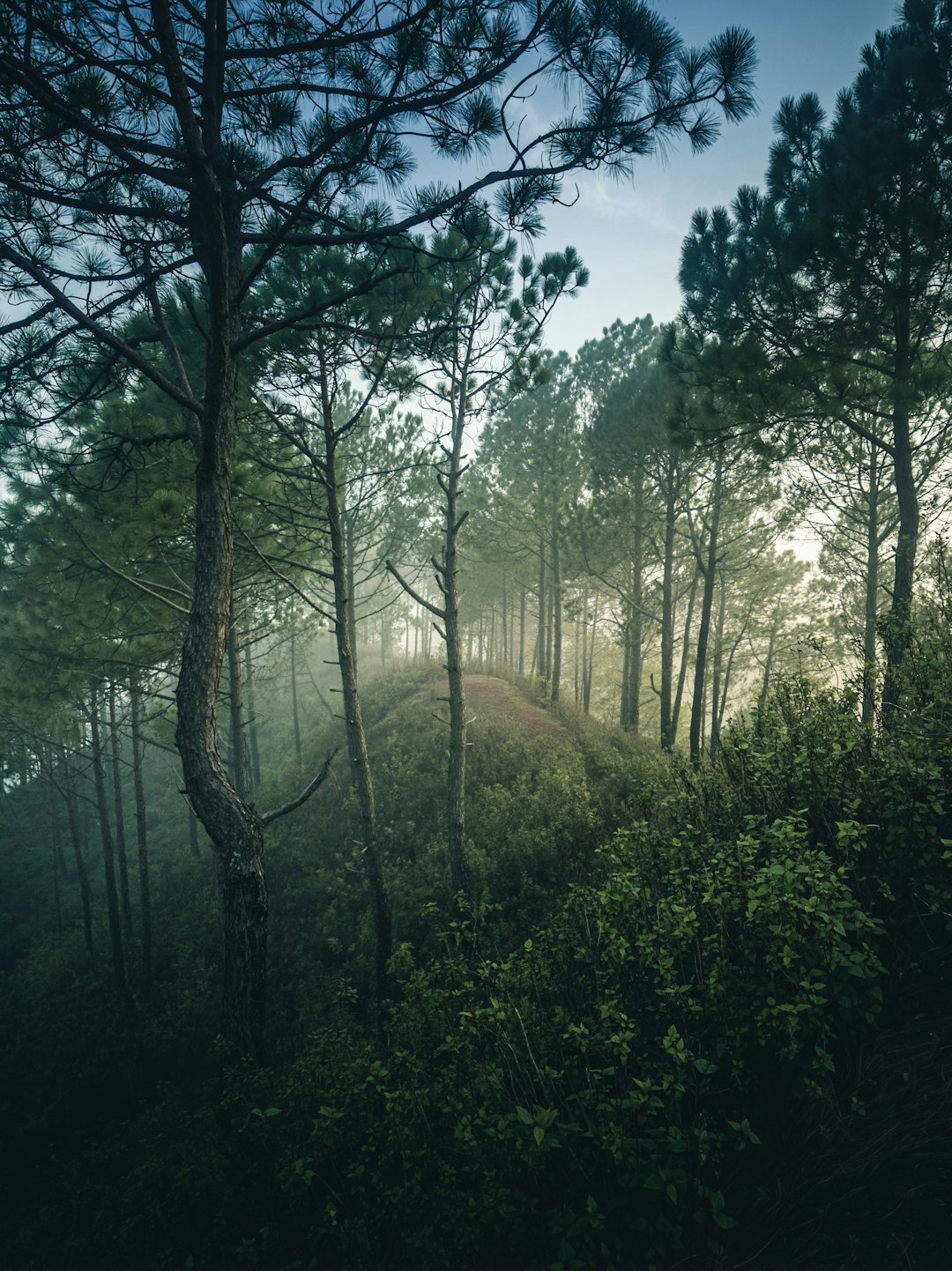
 Experienced by Gaurav K
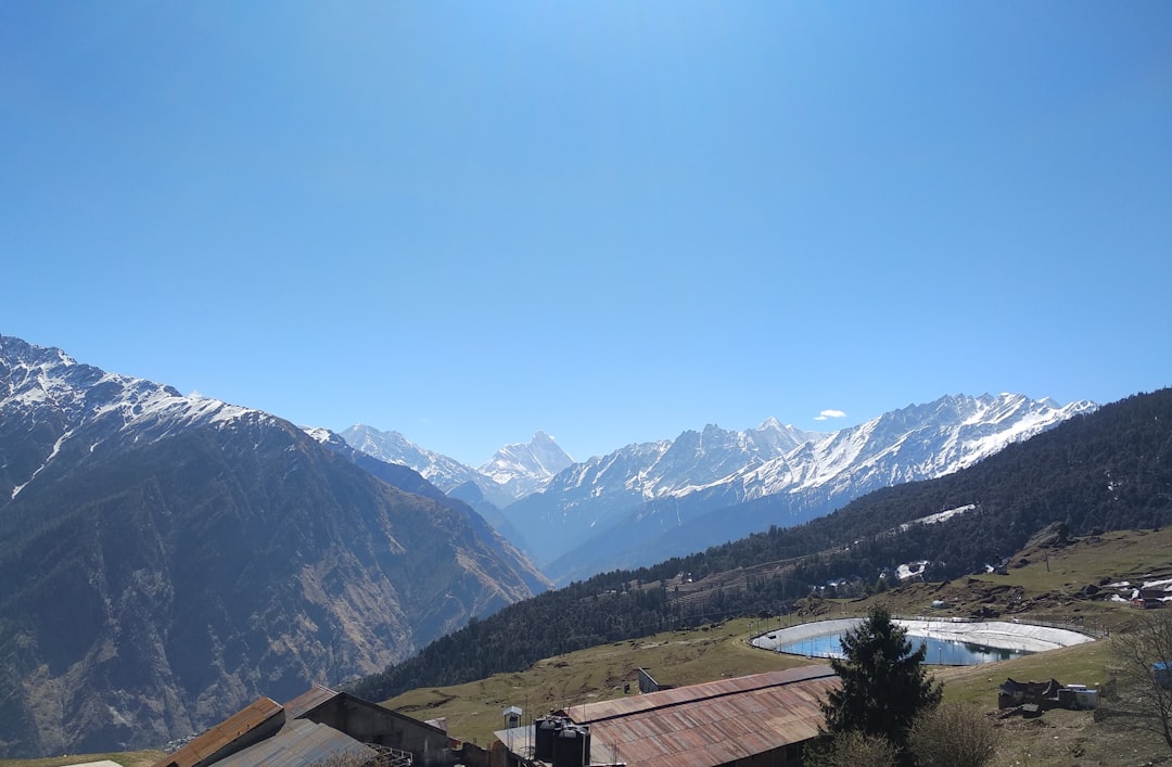
 Experienced by Swarnarekha Pandey
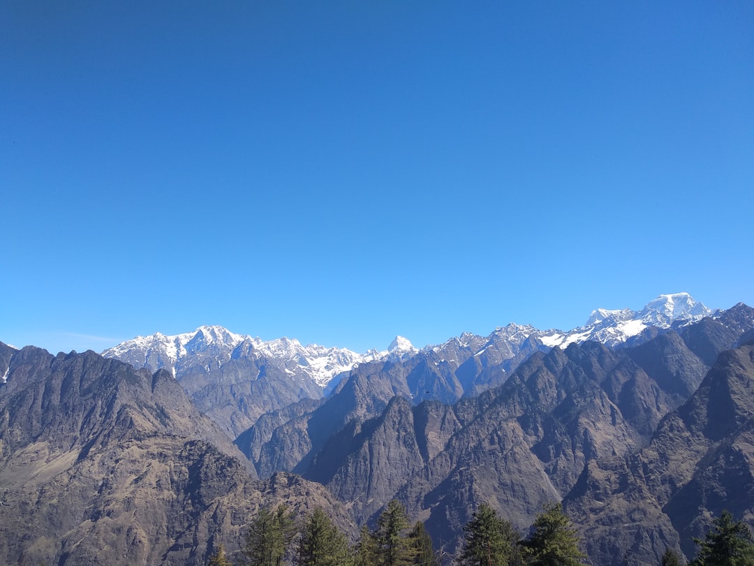
 Experienced by Sahil Mhapsekar
 Experienced by Ajay Kumar Jana
 Experienced by Narayan Gopalan
 Experienced by Muskan Gohrani